Ilhéus, Bahia tide times
Ilhéus, Bahia tide forecast — heights relative to MSL.
Today's tide times for Ilhéus, Bahia
Tide times at Ilhéus, Bahia on Friday, 19 June 2026: first low tide at 00:03, first high tide at 06:06, second low tide at 12:40, second high tide at 18:51. Sunrise 05:59, sunset 17:15.
Tide chart for Ilhéus, Bahia
24-hour cosine-interpolated curve around the present moment. Heights relative to MSL. Predictions: Predictions: Open-Meteo Marine (MeteoFrance SMOC, 0.08° grid).
Sun, moon and conditions on Fri 19 Jun
Snapshot at build time — refreshes daily. Sea state from Open-Meteo Marine.
Highs and lows next 7 days
Every predicted high and low for the next week, with the daily tidal coefficient (0–120; higher = bigger swing, > 95 means stronger currents).
Other spots nearby
The three closest curated TideTurtle locations to Ilhéus, Bahia, measured by great-circle distance.
Today's solunar windows
Solunar tradition: major periods are the ≈3h windows around moon transit and opposition; minor are ≈2h around moonrise and moonset. Pair with the local tide stage and wind for the best read.
Cycle dates near Ilhéus, Bahia
Last spring tide on Thu 18 Jun (range 1.6m). Next spring tide on Wed 24 Jun (range 1.0m). Next neap on Mon 22 Jun.
Spring tides cluster around new and full moons (biggest swings). Neap tides land on quarter moons (smallest swings). See the spring tide and neap tide glossary entries for the why.
About tides at Ilhéus, Bahia
A short guide to the coastline at Ilhéus, Bahia — geography, sea state, and what the tide is actually doing under your feet.
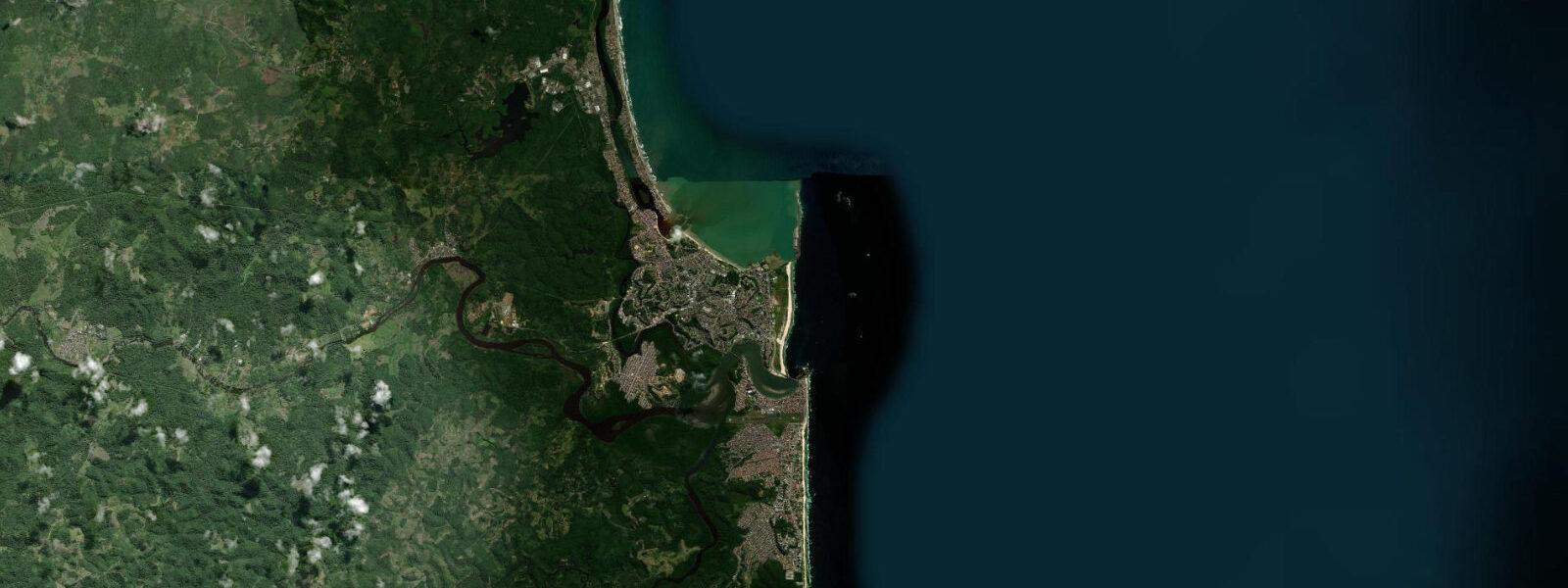
Ilhéus sits where the Cachoeira and Almada rivers meet the Atlantic on the southern Bahia coast, about 460 kilometres south of Salvador. The city is a working port town with a literary reputation — Jorge Amado, the most widely translated Brazilian novelist, was born in the nearby town of Ferradas and set Gabriela, Cravo e Canela directly in this landscape. Visitors come for the cocoa estate tours in the surrounding countryside, the river estuary beaches, and the Atlantic coast immediately below town.
The tidal regime here is Atlantic semidiurnal — two highs and two lows each day, with a mean spring range of 1.5 to 2.5 metres. A typical spring tide runs from around 0.3 m at low water to 2.2 m at high, a difference that changes the Cachoeira River estuary significantly. Tidal currents in the estuary reach 1 to 2 knots on spring tides, particularly in the narrows where the river pinches between the city waterfront and the opposite bank. Fishing vessels navigating the bar at the river mouth read the tide carefully — low water on a neap tide reduces depth at the bar to under 2 metres, and local skippers time inbound passages to arrive on the flood, ideally within two hours of high water.
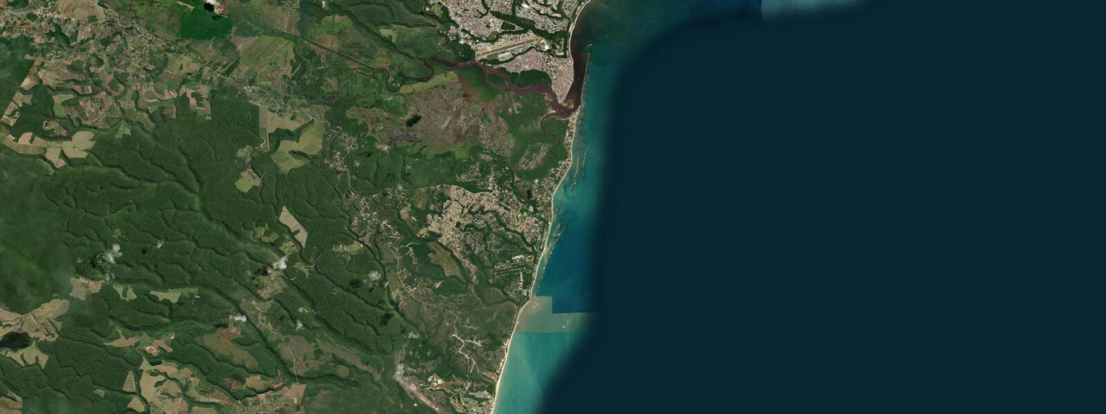
Malhado Beach runs along the northern waterfront of the city, a straight strip of Atlantic-facing sand that receives the open-ocean swell from the southeast. It is the city beach, used by locals year-round. The tidal range here produces a beach width change of 40 to 60 metres between low and high spring water — at low tide on a spring the sand flats expose well beyond the surf zone, and families spread out across the full width. On the flood, the surf breaks closer to the top of the beach and the lower intertidal pools fill.
Praia do Pontal is on the south side of the Cachoeira River mouth, reached by a short ferry crossing from the city centre or a road circuit around the headland. Pontal is calmer than Malhado — the river mouth creates a partial shelter from the dominant southeast swell — and the sand is finer. The Almada River, which joins the Cachoeira just upstream of the harbour, carries sediment that keeps the estuary mouth shallow and navigable only to mid-draught vessels.
Anglers work both banks of the Cachoeira estuary from small motorised boats on the flood tide. The mix of freshwater from the rivers and saline Atlantic water pulling in on the flood creates a productive zone for robalo (snook), tainha (mullet), and corvina in the channel edges. Shore casting from the beach at Malhado on the last two hours of the flood is the most reliable window for corvina from the sand.
The context around Ilhéus cannot be separated from cocoa. The sul da Bahia cocoa region — the landscape inland from the coast to around 100 kilometres — produces Theobroma cacao in the cabruca system, a shade-grown cultivation method where cacao is planted as understorey beneath the native Mata Atlântica forest canopy rather than in cleared plantations. The result is an agricultural landscape that reads as continuous forest from above, with the Atlantic Forest canopy intact and the cacao growing in shade below. Estate tours depart from Ilhéus and the nearby town of Uruçuca; the Fazenda Primavera and Fazenda Leolinda are two well-known operations that run tours with tastings and processing demonstrations. The route into the cocoa belt passes through the small towns that Jorge Amado knew, and the landscape of the novels — the coronéis (powerful landowners), the cacao boom and bust — is still visible in the fazenda architecture.
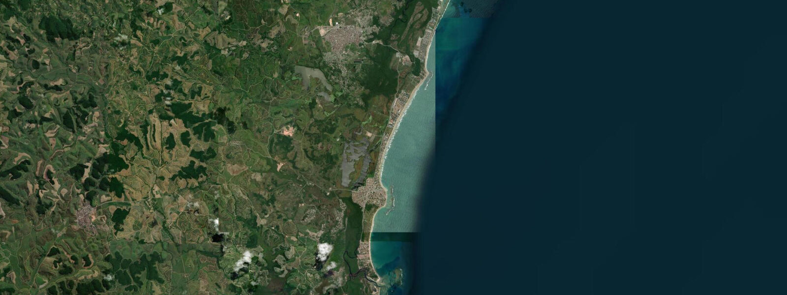
Olivença, 17 kilometres south on the coast road, is a spa village with natural thermal springs at 42°C adjacent to the beach. The springs are not tidal — they're groundwater, warm year-round — but the Olivença beach itself is exposed Atlantic coast with the same 1.5 to 2.5 metre tidal range. Low water here opens a wide sand flat that makes Olivença quieter and more accessible for beach families than the surf-exposed Malhado. The road south to Olivença passes through Atlantic Forest remnants and small fishing communities.
Photographers targeting the Ilhéus waterfront should note that the Cachoeira River bridge and the harbour entrance photograph best from the Pontal side at low water on a clear morning — the bridge framing the city and the fishing fleet at anchor in the shallows. The cabruca landscape photographs well in the late afternoon when the forest canopy filters the low Bahian sun into the understorey.
Tide data for Ilhéus, Bahia comes from the Open-Meteo Marine API, a gridded model product. Timing accuracy is ±45 minutes, height accuracy ±0.3 m — usable for trip planning, not for navigation.
Tide questions about Ilhéus, Bahia
Quick answers to the most common questions about tide times, range, and water access at Ilhéus, Bahia.
What is the tidal range at Ilhéus and how does it affect the Cachoeira River estuary?
Mean spring tidal range at Ilhéus runs from about 0.3 m at low to 2.2 m at high — a 1.5 to 2.5 m difference depending on the spring-neap cycle. In the Cachoeira River estuary that range drives tidal currents of 1 to 2 knots at the narrows, particularly on the ebb. The bar at the river mouth becomes shallow on neap lows; fishing boats and small commercial vessels time their passages to arrive on the flood, typically within two hours of high water. The estuary banks expose broad mud and sand flats on spring lows that are used for crab harvesting by local communities.
When is the best time to fish the beaches and estuary at Ilhéus?
Shore fishing for corvina (croaker) at Malhado Beach is most productive in the last two hours of the flood tide — the wave energy and current carry baitfish close to shore. In the Cachoeira estuary, robalo (snook) and tainha (mullet) concentrate at the salinity front where river water meets the incoming tide, typically 1 to 2 kilometres upstream from the river mouth. Boat fishing in the estuary works best at first and last light on a moderate spring flood. The period November through February (Brazilian summer) sees the highest fish activity in the estuary zone.
Can I visit cocoa estates (fazendas) from Ilhéus, and what is the cabruca system?
Cocoa estate tours run from Ilhéus and the nearby town of Uruçuca, typically including a walk through the cabruca — the traditional Bahian cultivation system where cacao grows as understorey beneath a maintained native forest canopy rather than in cleared land. The result is that the eastern Bahia cocoa belt has significant Mata Atlântica forest cover intact above the cacao plants. Fazenda Primavera and Fazenda Leolinda are two well-visited operations. Tours include harvest demonstrations, fermentation vats, and chocolate tasting. Book in advance during peak months (December through February).
Is Olivença worth visiting from Ilhéus, and what can I do there?
Olivença is 17 kilometres south of Ilhéus on the coast road and has two distinct draws: natural thermal springs at 42°C (the Balneário de Olivença, a spa complex fed by groundwater) and an Atlantic beach with the same 1.5 to 2.5 m tidal range as Ilhéus but calmer conditions and a wider sand flat at low water. The thermal springs operate independently of the tide and are accessible year-round. The beach at low water on a spring tide is wide enough for volleyball, football, and beach tent set-up well clear of the surf zone — it attracts local families who find Malhado Beach too exposed.
What is the Jorge Amado connection to Ilhéus and where can I see it?
Jorge Amado was born in 1912 in Ferradas, a small town inland from Ilhéus, and spent his formative years in the cocoa region. His 1958 novel Gabriela, Cravo e Canela is set in a barely fictionalised Ilhéus during the cacao boom of the 1920s — the harbour, the coronéis' power struggles, and the town's social geography all map directly onto the real city. The Casa de Cultura Jorge Amado in Ilhéus city centre is the main museum, with first editions, manuscripts, and period photographs. The harbour waterfront and the streets of the historic centre are recognisable from the novel's descriptions and can be walked with the book as a guide.
7-day tide table — Ilhéus, Bahia
Heights relative to MSL. Predictions: Open-Meteo Marine (MeteoFrance SMOC, 0.08° grid) — heights relative to MSL (not chart datum / LAT). Model-derived.
| Day | Type | Time | Height |
|---|---|---|---|
| Fri 19 Jun | Low | 00:03 | -0.4m |
| High | 06:06 | 1.0m | |
| Low | 12:40 | -0.6m | |
| High | 18:51 | 0.9m | |
| Sat 20 Jun | Low | 00:56 | -0.3m |
| High | 06:56 | 0.9m | |
| Low | 13:34 | -0.4m | |
| High | 19:42 | 0.8m | |
| Sun 21 Jun | Low | 01:48 | -0.2m |
| High | 07:51 | 0.8m | |
| Mon 22 Jun | Low | 02:51 | -0.2m |
| High | 08:55 | 0.7m | |
| Low | 15:35 | -0.3m | |
| High | 21:40 | 0.6m | |
| Tue 23 Jun | Low | 03:57 | -0.2m |
| High | 10:08 | 0.7m | |
| Low | 16:35 | -0.2m | |
| High | 22:40 | 0.6m | |
| Wed 24 Jun | Low | 05:02 | -0.3m |
| High | 23:35 | 0.6m | |
| Thu 25 Jun | Low | 06:02 | -0.4m |
| High | 12:08 | 0.6m | |
| Low | 18:20 | -0.3m |