Barranco, Belize tide times
Barranco, Belize tide forecast — heights relative to MSL.
Today's tide times for Barranco, Belize
Tide times at Barranco, Belize on Friday, 3 July 2026: first low tide at 06:00pm. Sunrise 05:28am, sunset 06:31pm.
Tide chart for Barranco, Belize
24-hour cosine-interpolated curve around the present moment. Heights relative to MSL. Predictions: Predictions: Open-Meteo Marine (MeteoFrance SMOC, 0.08° grid).
Sun, moon and conditions on Fri 03 Jul
Snapshot at build time — refreshes daily. Sea state from Open-Meteo Marine.
Highs and lows next 7 days
Every predicted high and low for the next week, with the daily tidal coefficient (0–120; higher = bigger swing, > 95 means stronger currents).
Other spots nearby
The three closest curated TideTurtle locations to Barranco, Belize, measured by great-circle distance.
Today's solunar windows
Solunar tradition: major periods are the ≈3h windows around moon transit and opposition; minor are ≈2h around moonrise and moonset. Pair with the local tide stage and wind for the best read.
Cycle dates near Barranco, Belize
Next spring tide on Thu 09 Jul (range 0.4m). Last neap on Fri 03 Jul. Next neap on Wed 08 Jul.
Spring tides cluster around new and full moons (biggest swings). Neap tides land on quarter moons (smallest swings). See the spring tide and neap tide glossary entries for the why.
About tides at Barranco, Belize
A short guide to the coastline at Barranco, Belize — geography, sea state, and what the tide is actually doing under your feet.
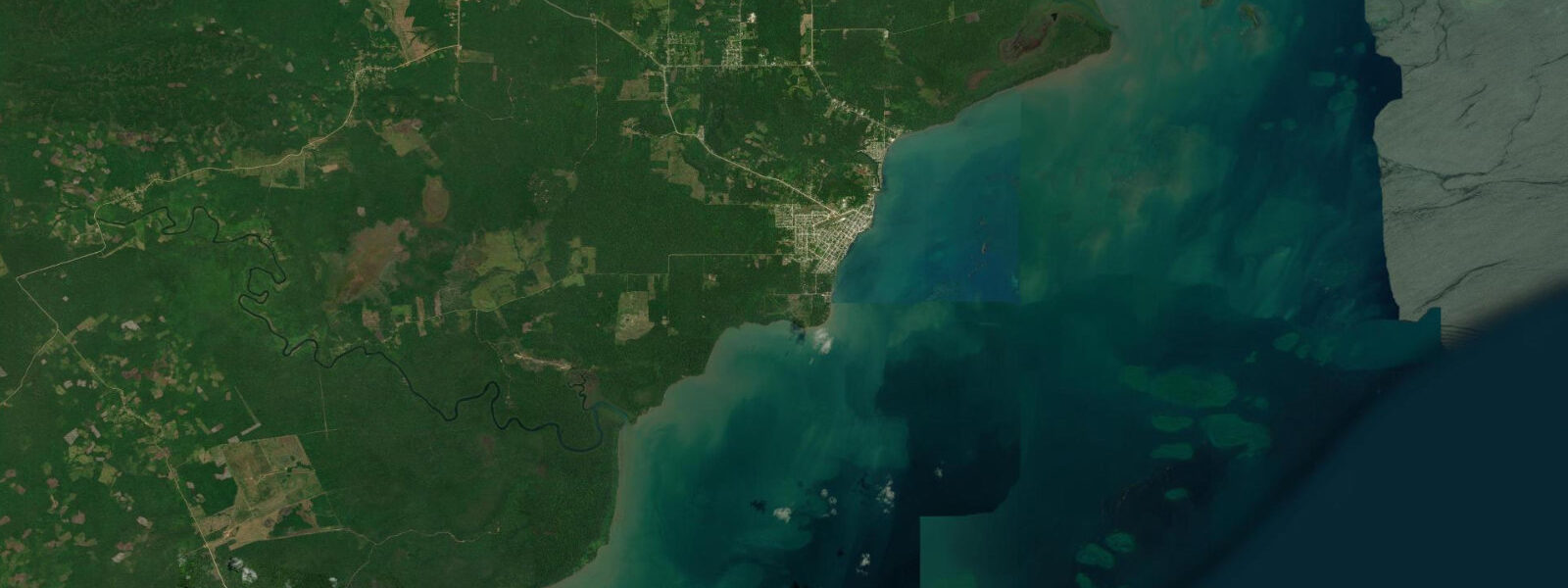
Barranco is the southernmost village in Belize, a Garifuna settlement of around 120 people on the coast near the mouth of the Sarstoon River, which marks the border between Belize and Guatemala. The nearest town with regular services is Punta Gorda, 10 km north by boat. The village is part of the Toledo District's network of Garifuna communities that maintain traditions of drumming, dugu ceremony, and cassava cultivation largely undisturbed by the coastal resort economy that shapes northern Belize.
The tidal pattern is microtidal Caribbean: spring range 20–50 cm, mixed semidiurnal. Open-Meteo Marine provides the forecast data — timing accuracy ±45 minutes, height accuracy ±0.2–0.3 m. The Sarstoon River mouth 8 km south has its own complex tidal-fluvial dynamic, but the coastal waters off Barranco follow standard Bay of Honduras microtidal behaviour.
For anglers, the coastal reef fringe between Barranco and the Sarstoon mouth is one of the least-pressured reef sections on the Belize coast. Snappers, grouper, and permit work the scattered coral heads at 4–8 m depth accessible by panga within 15 minutes of the village dock. The Sarstoon River mouth itself — politically sensitive, as it runs along the Guatemala border — holds tarpon and snook in the lower reaches, but access arrangements require awareness of the boundary situation and are best arranged with a local guide.
Kayakers and canoeists can paddle the creek systems and mangrove lagoons immediately north and west of Barranco within the Sarstoon-Temash National Park, which protects the mangrove-dominated coastline between the village and the Guatemalan border. The park contains the tallest mangroves in Belize (red mangroves exceeding 30 m) and a near-intact fringing coral system. The park has no formal visitor infrastructure — no dock, no marked trails — so paddlers need self-sufficient navigation.
Birdwatching in the Sarstoon-Temash area is among the most productive in Belize. The freshwater-saltwater transition zone supports an exceptional range: boat-billed heron, jabiru stork (Belize's national bird, seen in wet season), roseate spoonbill, and a full roster of kingfishers. The mangrove interior supports secretive species like mangrove vireo and mangrove swallow in numbers that reflect the low disturbance level.
Beach families won't find resort infrastructure here. The village beach is functional rather than scenic — grey sand, minimal shade, basic dock. What Barranco offers is a genuine end-of-the-road coastal experience, one of the last on the Belizean mainland. For families seeking authentic cultural engagement and wildlife access over amenity, the journey is worthwhile.
Tide questions about Barranco, Belize
Quick answers to the most common questions about tide times, range, and water access at Barranco, Belize.
How do I reach Barranco from Punta Gorda?
A community boat from Punta Gorda's main dock makes the 10-km run to Barranco; departure times are irregular and linked to local demand rather than a fixed schedule. Enquire at the Punta Gorda waterfront or through the Toledo Institute for Development and Environment (TIDE) for current arrangements. There is no road access to Barranco — the Southern Highway ends well north of the village. Sea state in the Bay of Honduras between Punta Gorda and Barranco can be choppy when northeast trades are strong; small open pangas are the standard transport and the crossing takes 25–40 minutes depending on conditions.
What is the Sarstoon-Temash National Park, and can I visit it from Barranco?
Sarstoon-Temash National Park protects the mangrove coastline and river systems between Barranco village and the Guatemala border, covering approximately 16,000 hectares. It contains the tallest documented red mangroves in Belize — individual trees exceeding 30 m — and a continuous fringing coral reef. The park has no formal visitor infrastructure. Access is by kayak or small boat through the mangrove creek systems. A local guide from Barranco is strongly recommended for navigation and for awareness of the Sarstoon River boundary zone. Contact the Belize Forest Department or TIDE in Punta Gorda for current permit requirements before visiting.
What Garifuna cultural experiences are available at Barranco?
Barranco is one of the Garifuna settlements in Toledo District that maintains traditional practices including paranda music, dugu ceremony, and cassava bread production. The village celebrates Garifuna Settlement Day on 19 November with drum ceremonies and traditional dance — the most significant cultural event in the Garifuna calendar. Visits outside of this date can be arranged through community-based tourism networks in Punta Gorda; the Dem Dats Doin farm near Punta Gorda can provide contacts and context before you make the trip. Arrive with respect for the community's pace and privacy — this is not a cultural-performance destination set up for passive tourism.
What fish species are accessible from Barranco?
The reef fringe south of Barranco, between the village and the Sarstoon mouth, holds red snapper, mutton snapper, hogfish, and Nassau grouper at 4–8 m depth over scattered coral. Permit patrol the sandy flats adjacent to the reef — sight fishing on fly is possible from a poled panga on calm days. The Sarstoon River mouth holds tarpon in the 10–40 kg range and resident snook populations. Tidal timing from Open-Meteo Marine (±45-minute accuracy) guides optimal entry windows: incoming tide for the river mouth species, any state for the offshore reef work. No commercial guide services operate from Barranco — local fishermen may be available for hire through the village.
What is the tidal range at Barranco and does it affect the coastal reef?
Spring tidal range is 20–50 cm — standard for the Belize Caribbean coast. The fringing reef and shallow coral heads remain submerged across the tidal cycle, though the shallowest sections (0.5–1.0 m depth at chart datum) become very shallow at lower low water and are best avoided by boat. Open-Meteo Marine provides the tide forecast with ±45-minute timing and ±0.2–0.3 m height accuracy. Snorkellers and kayakers can plan at any tidal state with awareness of the shallowest areas. The Sarstoon River mouth has its own tidal-fluvial dynamic driven by river discharge — conditions there are harder to predict precisely from the open-coast forecast alone.
8-day tide table — Barranco, Belize
Heights relative to MSL. Predictions: Open-Meteo Marine (MeteoFrance SMOC, 0.08° grid) — heights relative to MSL (not chart datum / LAT). Model-derived.
| Day | Type | Time | Height |
|---|---|---|---|
| Fri 03 Jul | Low | 18:00 | 0.1m |
| Sat 04 Jul | High | 14:00 | 0.2m |
| Sun 05 Jul | Low | 07:00 | 0.0m |
| High | 14:50 | 0.2m | |
| Mon 06 Jul | Low | 07:50 | -0.0m |
| High | 15:50 | 0.2m | |
| Low | 21:06 | 0.1m | |
| Tue 07 Jul | High | 01:00 | 0.2m |
| Low | 09:06 | -0.0m | |
| High | 16:45 | 0.3m | |
| Wed 08 Jul | Low | 09:54 | -0.1m |
| High | 18:18 | 0.3m | |
| Thu 09 Jul | Low | 03:50 | 0.1m |
| High | 18:45 | 0.3m | |
| Low | 23:10 | 0.1m | |
| Fri 10 Jul | High | 02:00 | 0.2m |
| Low | 11:18 | -0.1m | |
| High | 17:00 | 0.2m |