San Pedro, Ambergris Caye tide times
San Pedro, Ambergris Caye tide forecast — heights relative to MSL.
Today's tide times for San Pedro, Ambergris Caye
Tide times at San Pedro, Ambergris Caye on Saturday, 27 June 2026: first low tide at 01:00pm. Sunrise 05:19am, sunset 06:30pm.
Tide chart for San Pedro, Ambergris Caye
24-hour cosine-interpolated curve around the present moment. Heights relative to MSL. Predictions: Predictions: Open-Meteo Marine (MeteoFrance SMOC, 0.08° grid).
Sun, moon and conditions on Sat 27 Jun
Snapshot at build time — refreshes daily. Sea state from Open-Meteo Marine.
Highs and lows next 7 days
Every predicted high and low for the next week, with the daily tidal coefficient (0–120; higher = bigger swing, > 95 means stronger currents).
Other spots nearby
The three closest curated TideTurtle locations to San Pedro, Ambergris Caye, measured by great-circle distance.
Today's solunar windows
Solunar tradition: major periods are the ≈3h windows around moon transit and opposition; minor are ≈2h around moonrise and moonset. Pair with the local tide stage and wind for the best read.
About tides at San Pedro, Ambergris Caye
A short guide to the coastline at San Pedro, Ambergris Caye — geography, sea state, and what the tide is actually doing under your feet.
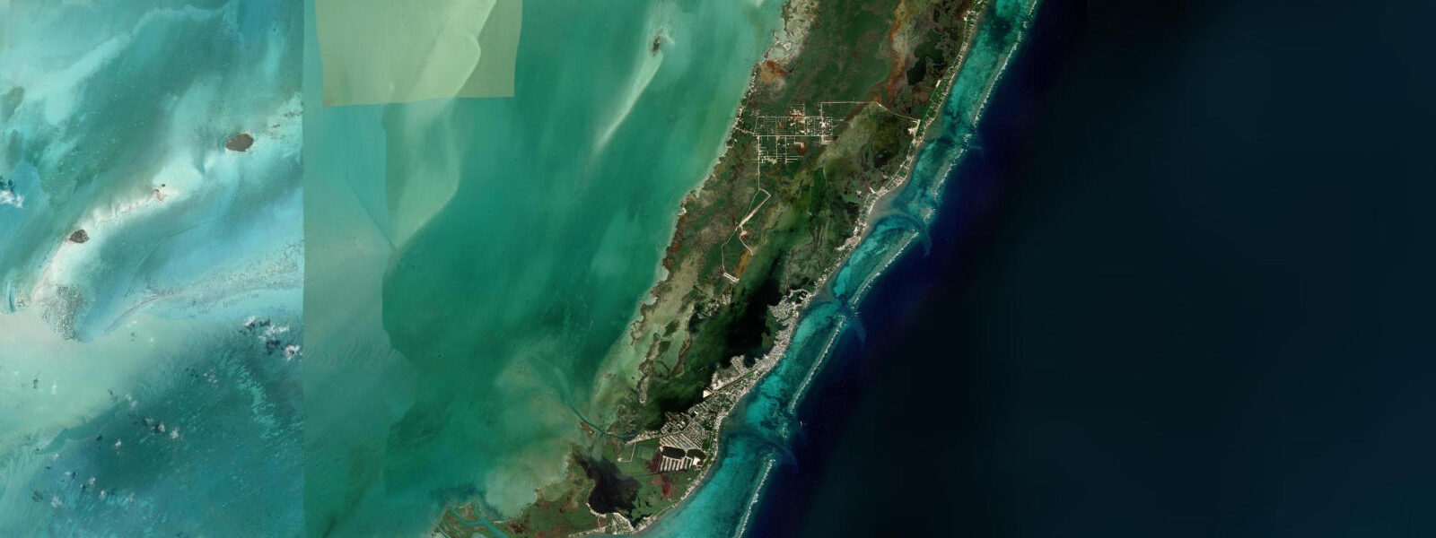
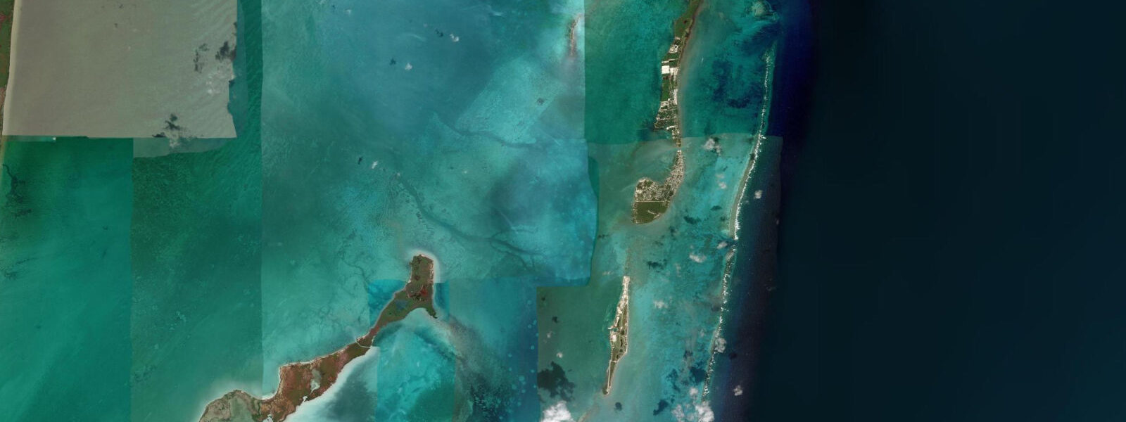
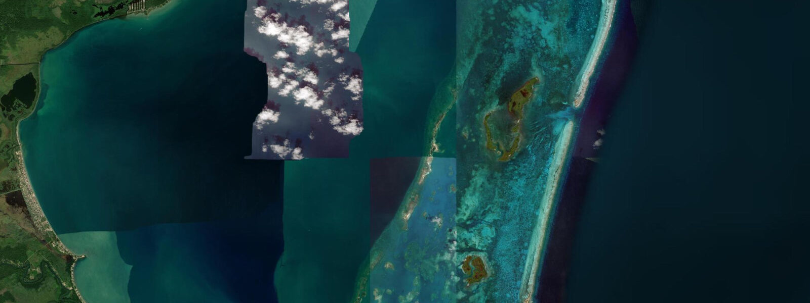
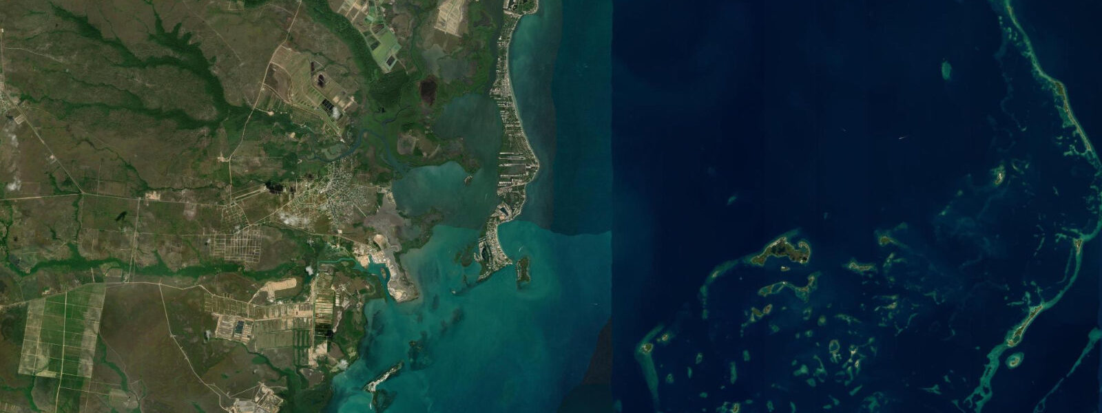
San Pedro is the main town on Ambergris Caye, Belize’s largest island, sitting 56 km north of Belize City and 2 km south of the Mexican border at Boca Bacalar Chico. The island is separated from the Yucatan Peninsula by that narrow channel — a channel that defines the northern limit of the Belize Barrier Reef, the largest barrier reef system in the Western Hemisphere and a UNESCO World Heritage Site. The reef is the reason San Pedro exists as a destination, and it sits 1.5–2.5 km offshore, immediately accessible by boat.
The tidal regime is microtidal — spring range 0.2–0.4 m above Chart Datum, mixed semidiurnal pattern, neap range 0.1–0.2 m. The Belize Barrier Reef modifies how this small tidal signal propagates along the coast. The reef acts as a sill: water floods into the lagoon between the reef and the shore through passes in the reef during the flood tide, and drains back through the same passes on the ebb. This concentrates tidal current through the reef passes to 0.5–1.0 knots on spring tides — significantly faster than the open-lagoon flow of 0.1–0.2 knots — and makes those passes the most productive fishing locations near San Pedro.
The lagoon between San Pedro’s waterfront and the reef is 1.5–2.5 km wide and averages 2–4 m depth at mid-tide. This is the training and snorkelling ground for day-trip operations from the town docks. At spring low water, the lagoon shallows in places to 1.5–2.5 m — still adequate for motorized boats but shallow enough that kayakers and paddleboarders should watch the sandbar areas on the return run.
Hol Chan Marine Reserve, the most-visited dive and snorkel site in Belize, is a natural cut (hol chan means “little channel” in Mayan) in the reef 6 km south of San Pedro. The cut is 25 m wide and 8 m deep at mid-tide; it narrows slightly at low water as the reef edge becomes more exposed. Tidal current through Hol Chan on the ebb reaches 1.0–1.5 knots, which drives nutrient-rich water through the cut and concentrates nurse sharks, southern stingrays, green morays, and large reef fish. The adjacent Shark Ray Alley, a shallow sand-bottom site where rays and nurse sharks have been fed by fishermen for decades, is 2–3 m deep; a spring low drops it to 1.5–2.5 m, which is actually the most photogenic depth for snorkellers — the animals are visible from the surface in excellent light.
For anglers, the Boca Bacalar Chico channel at the north end of Ambergris Caye is the most productive water near San Pedro. The channel is 50–200 m wide and connects the lagoon to the open Caribbean; tidal current through it runs 1.0–2.0 knots on springs, flooding south from Mexico and ebbing north. Tarpon — some over 1 m in length — stack in the current on both tides, taking large streamers and surface poppers near the mangrove margins. The channel bottom is 3–6 m; local guides run flat-bottomed skiffs up the channel from San Pedro, a 30-minute run north.
Bonefish flats extend along the entire lagoon side of Ambergris Caye but are most accessible from San Pedro in the areas immediately north and south of the town, where the bottom is turtle grass over sandy marl. The flood tide pushes fish from the channel edges onto the flats in 15–40 cm of water — visible, and accessible to wading anglers or those in a poling skiff. Spring tides produce the best flat access; neap tides keep fish in slightly deeper water and reduce the area of fishable flat.
San Pedro town runs along the east shore of Ambergris Caye; most guest accommodation faces the reef side, not the west (lagoon) side. Street Golf Carts are the main transport — the island has no paved road through to the north end, and a water taxi connects the north-of-town resorts to the town dock. Water taxis run on demand rather than to a tidal timetable; the lagoon is navigable at all tidal stages for the small vessels used.
All tide predictions for San Pedro come from the Open-Meteo Marine gridded model. Timing accuracy is ±45 minutes; height accuracy is ±0.3 m above Chart Datum.
Tide questions about San Pedro, Ambergris Caye
Quick answers to the most common questions about tide times, range, and water access at San Pedro, Ambergris Caye.
What is the tidal range at San Pedro, Belize, and how does it affect the Hol Chan Marine Reserve?
San Pedro has a mixed semidiurnal tidal range of 0.2–0.4 m on springs, 0.1–0.2 m on neaps. At Hol Chan — the natural reef cut 6 km south — the ebb current reaches 1.0–1.5 knots as water drains from the lagoon through the narrow cut. This current concentrates nurse sharks, stingrays, and large reef fish, and is the reason Hol Chan is Belize’s most productive snorkel site. At Shark Ray Alley, the adjacent site in 2–3 m, a spring low drops depth to 1.5–2.5 m — clear for snorkellers, very photogenic. Tide predictions from the Open-Meteo Marine gridded model carry ±45 minutes timing uncertainty and ±0.3 m height uncertainty.
How does tidal state affect bonefish flats fishing near San Pedro?
The bonefish flats along the lagoon side of Ambergris Caye respond directly to tidal flooding. The productive window is the first 2–3 hours of the incoming tide, when fish move from channel edges onto the grassy flat in 15–40 cm of water. Spring tides push fish furthest from the channel, maximising fishable flat area. Neap tides produce less inundation and fish stay in deeper water, closer to the channel margins. Wading is practical on the mid-flood on neap tides; on spring flood tides the flat can be accessed by wading or by a poling skiff. Local guides based in San Pedro know which specific flat sections are holding fish on any given tide.
Is the Boca Bacalar Chico channel worth visiting for anglers, and how does tide affect access?
The Boca Bacalar Chico channel at the north end of Ambergris Caye carries 1.0–2.0 knots of tidal current on springs and is the most productive tarpon water near San Pedro. The channel is a 30-minute run north from the San Pedro town dock by flat-bottomed skiff. Tarpon are present on both flood and ebb; guides prefer the last two hours of the ebb and the first hour of the flood when current speed is at its peak and fish are actively feeding in the current seam. The channel narrows at its northern end — the Belize–Mexico border is a marked buoy in the channel. The adjacent mangrove margins on the flood are productive for smaller snook.
Can I kayak from San Pedro to the Barrier Reef, and does the tide affect the crossing?
The crossing from San Pedro’s town dock to the reef is 1.5–2.5 km across the lagoon. The lagoon is 2–4 m at mid-tide; average depth at spring low is 1.5–2.5 m — adequate for a sea kayak. Tidal current across the lagoon is 0.1–0.2 knots, which has minimal effect on the crossing. The more significant variable is trade wind: the east-facing crossing into the wind is a hard paddle on days with 15+ knot trades; the return downwind is fast. The reef itself produces confused swell and turbulence on the seaward side — kayaking past the reef line requires experience and calm conditions. Most visitors reach Hol Chan by powered water taxi from the town dock (20 minutes).
What is the best time of day to visit Hol Chan and Shark Ray Alley from San Pedro?
Morning departures (07:00–09:00) from San Pedro give the best light for underwater photography and the least boat traffic at Hol Chan. The current through the cut is determined by tidal phase, not time of day: the ebb (draining from lagoon to sea) produces stronger current and better wildlife concentration. Confirm with your tour operator whether the morning departure aligns with ebb or flood — a strong ebb at Shark Ray Alley pushes snorkellers along the sandy bottom and makes controlling position harder for less experienced swimmers. Afternoon sessions see more boat traffic but the light through the water column is still good until 14:00. The site closes at 17:00.
7-day tide table — San Pedro, Ambergris Caye
Heights relative to MSL. Predictions: Open-Meteo Marine (MeteoFrance SMOC, 0.08° grid) — heights relative to MSL (not chart datum / LAT). Model-derived.
| Day | Type | Time | Height |
|---|---|---|---|
| Sat 27 Jun | Low | 13:00 | -0.0m |
| Sun 28 Jun | High | 20:00 | 0.1m |
| Mon 29 Jun | Low | 13:50 | -0.0m |
| Tue 30 Jun | — | ||
| Wed 01 Jul | — | ||
| Thu 02 Jul | — | ||
| Fri 03 Jul | High | 17:00 | 0.1m |