Martin's Bay tide times
Martin's Bay tide forecast — heights relative to MSL.
Today's tide times for Martin's Bay
Tide times at Martin's Bay on Saturday, 4 July 2026: first high tide at 05:12am, first low tide at 11:52am, second high tide at 06:18pm. Sunrise 05:36am, sunset 06:28pm.
Tide chart for Martin's Bay
24-hour cosine-interpolated curve around the present moment. Heights relative to MSL. Predictions: Predictions: Open-Meteo Marine (MeteoFrance SMOC, 0.08° grid).
Sun, moon and conditions on Sat 04 Jul
Snapshot at build time — refreshes daily. Sea state from Open-Meteo Marine.
Highs and lows next 7 days
Every predicted high and low for the next week, with the daily tidal coefficient (0–120; higher = bigger swing, > 95 means stronger currents).
Other spots nearby
The three closest curated TideTurtle locations to Martin's Bay, measured by great-circle distance.
Today's solunar windows
Solunar tradition: major periods are the ≈3h windows around moon transit and opposition; minor are ≈2h around moonrise and moonset. Pair with the local tide stage and wind for the best read.
Cycle dates near Martin's Bay
Last spring tide on Fri 03 Jul (range 0.6m). Next spring tide on Wed 08 Jul (range 0.5m). Next neap on Mon 06 Jul.
Spring tides cluster around new and full moons (biggest swings). Neap tides land on quarter moons (smallest swings). See the spring tide and neap tide glossary entries for the why.
About tides at Martin's Bay
A short guide to the coastline at Martin's Bay — geography, sea state, and what the tide is actually doing under your feet.
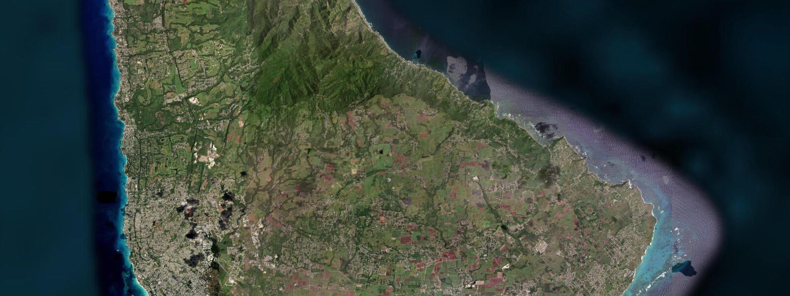
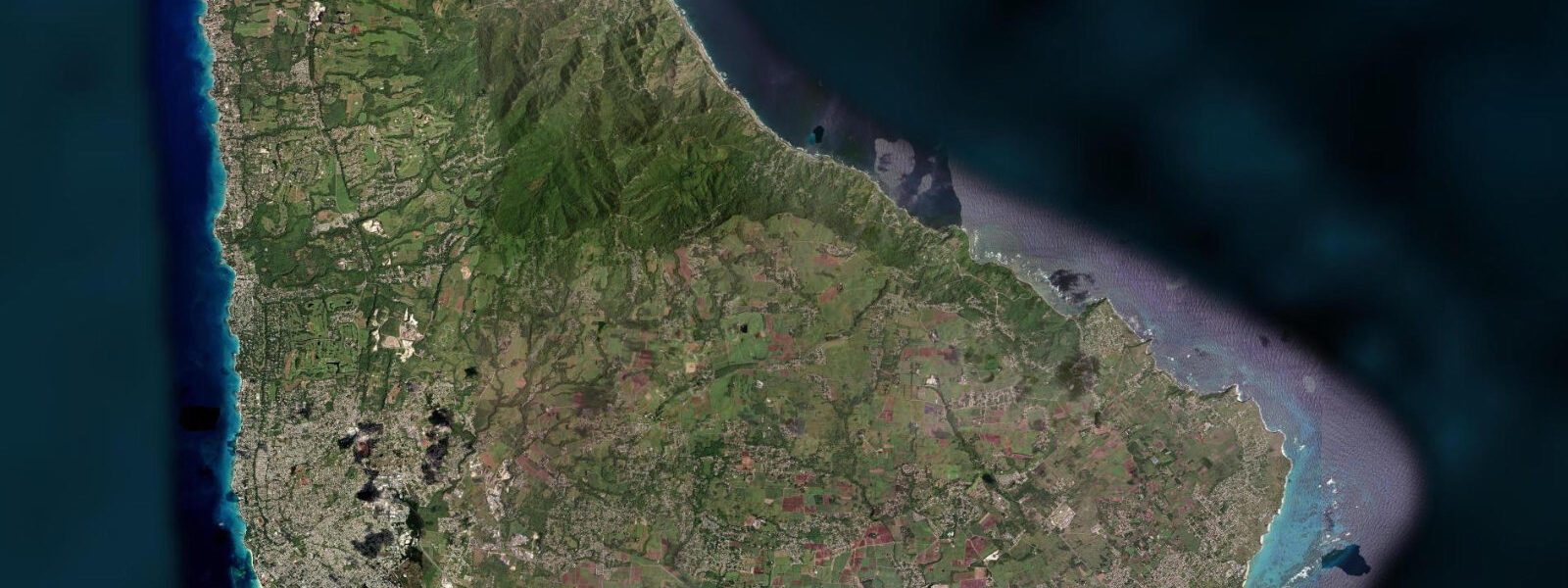
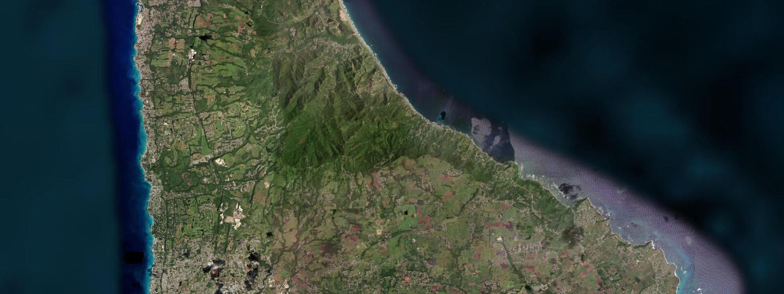
Martin's Bay is a traditional fishing village in Saint John parish on the southeast Atlantic coast of Barbados, at the point where the east coast's full Atlantic exposure begins to moderate as the land turns westward toward the southern tip of the island. The village is built on a small bay between two rock headlands; local fishing boats — colourfully painted, open-hulled pirogues — are launched directly through the Atlantic shore break, a technique that requires timing the sets and has been practised by Saint John's fishing families for generations. The boats work the offshore reef and open Atlantic for dolphin fish (mahi-mahi), flying fish, kingfish, and tuna.
The flying fish, Barbados's national symbol and the basis of its most iconic dish, is caught primarily in the Atlantic waters between the east and north coasts of the island from November through June; the offshore fleet from villages like Martin's Bay is part of the catching network that supplies the island's fish markets. The reef system offshore from Martin's Bay and the southern Atlantic coast is significant but largely unstudied by modern scientific survey. Coral cover has declined since the 1980s in line with regional trends (bleaching events, hurricane damage, disease) but the reef structure remains and the fish assemblage is diverse, supported by the productive Atlantic upwelling conditions on the east side of the island.
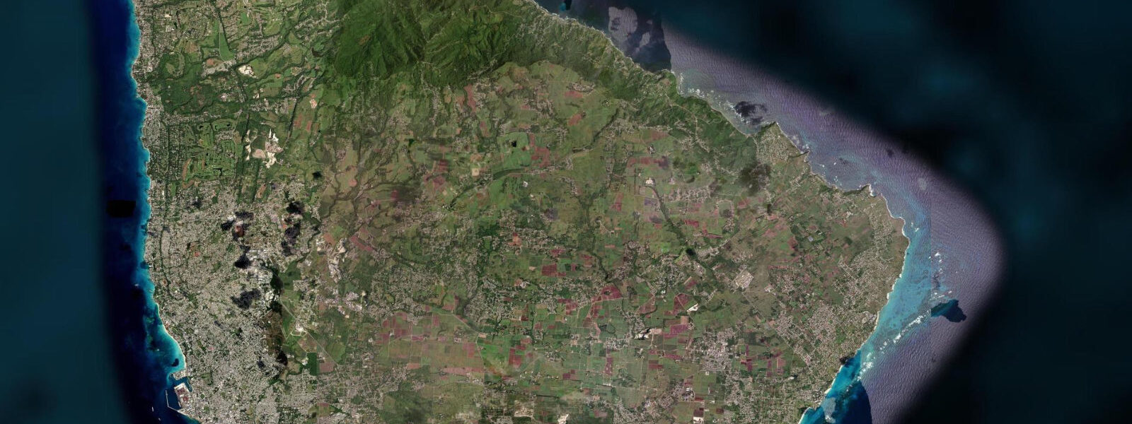
The southern tip of Barbados — South Point — is approximately 8 kilometres from Martin's Bay by road. At South Point the wave character changes dramatically: the Atlantic swell from the northeast wraps around the tip and diminishes within a few hundred metres of the headland; the Caribbean to the west is typically flat by comparison. This oceanographic boundary — where the energetic Atlantic coast becomes the sheltered Caribbean coast — is one of the most dramatic coastal transitions in the Lesser Antilles.
The drive south from Martin's Bay to South Point along the coastal road passes through agricultural land, coconut palms, and several smaller fishing settlements. The scenery is more working-coastal than resort-coastal and is rarely visited by tourists. Sam Lord's Castle, a 19th-century great house on the nearby Saint Philip coast, is the subject of local legend about wrecking — the story that its owner hung lanterns to lure ships onto the reef — though the historical evidence for this is thin.
The castle grounds are now part of a hotel development. Beach walking at Martin's Bay is possible at low water south of the main village bay, where a rock-platform section exposed at low tide connects to the open beach toward the South Point direction. Predictions on this page come from Open-Meteo Marine, a gridded global ocean model.
3 metres on height — model-derived, not from a local gauge. The Caribbean Institute of Meteorology and Hydrology (CIMH) is the regional hydrometeorological reference authority for Barbados.
Tide questions about Martin's Bay
Quick answers to the most common questions about tide times, range, and water access at Martin's Bay.
Is Martin's Bay accessible by public transport?
The ZR van network — Barbados's main public transport system — reaches the east coast via the highway to Speightstown and by the Saint John route from Bridgetown. The direct Saint John coastal road sees less frequent service than the main highway. Taxis from Bridgetown or the west coast take approximately 40 to 50 minutes depending on traffic. There is no shuttle or tour bus that includes Martin's Bay as a standard stop; visiting independently by rental car is the most practical approach. The east coast road from Bathsheba south to Martin's Bay is a pleasant drive of about 15 minutes.
Can I watch the fishing boats launch at Martin's Bay?
Yes. Boat launches typically happen at first light — often before 05:30 — when the crews time the departures to the swell sets. The technique of launching a pirogue through Atlantic shore break is physically impressive and involves the crew running the boat through the surf at the right moment in the set interval. The boats return in mid to late morning with the night's catch. There is no visitor infrastructure at the launch point; stand well back from the active launch zone. The fishermen are working and not on display, but the activity is visible from the beach without obstruction.
What reef fish are found offshore from Martin's Bay?
The offshore reef and Atlantic edge southeast of Martin's Bay supports a diverse fish community including snapper (yellowtail, lane, red), grouper (black, red, gag), barracuda, jacks, triggerfish, and reef sharks. The deeper drop-off on the Atlantic side holds pelagic species — dolphin fish (mahi-mahi), wahoo, and blue marlin in season. Flying fish, the species most associated with Barbados, aggregate in the Atlantic waters north and east of the island from November through June. Dive charters from Bridgetown do not typically run to the southeast coast; the east coast reef is primarily fished rather than dived.
How does the sea change at South Point south of Martin's Bay?
South Point is the southernmost tip of Barbados, where the northeast-facing Atlantic coast transitions to the west-facing Caribbean coast. The northeast Atlantic swell wraps around the point but loses height and energy rapidly — within 500 metres of the headland on the Caribbean side the sea is typically 0.3 to 0.5 metres smaller than on the Atlantic side. On days with significant northeast swell, this transition is visually striking: lumpy, white-capped Atlantic water on the east side and relatively flat Caribbean water on the west within the same eyeline. The South Point Lighthouse marks the headland.
What is flying fish and how is it eaten in Barbados?
The Atlantic flying fish (Hirundichthys affinis) is endemic to the eastern Caribbean and is Barbados's national dish ingredient. The fish are caught with nets in the offshore Atlantic, typically at night, by the inter-island flying fish fleet. They are cleaned and boned — the characteristic 'cutter' preparation — and either fried or steamed. The flying fish cutter is a bread roll filled with a seasoned, fried flying fish fillet: the definitive Bajan fast food, sold at fish markets, beach bars, and roadside stands across the island. The season for flying fish in Barbados waters runs roughly November through June; outside this period, supply comes from Trinidad and other eastern Caribbean islands.
7-day tide table — Martin's Bay
Heights relative to MSL. Predictions: Open-Meteo Marine (MeteoFrance SMOC, 0.08° grid) — heights relative to MSL (not chart datum / LAT). Model-derived.
| Day | Type | Time | Height |
|---|---|---|---|
| Sat 04 Jul | High | 05:12 | 0.5m |
| Low | 11:52 | -0.1m | |
| High | 18:18 | 0.5m | |
| Sun 05 Jul | Low | 00:00 | 0.1m |
| High | 06:00 | 0.5m | |
| Mon 06 Jul | Low | 00:54 | 0.1m |
| High | 06:45 | 0.4m | |
| Low | 13:10 | 0.0m | |
| High | 19:42 | 0.5m | |
| Tue 07 Jul | Low | 02:00 | 0.1m |
| High | 07:54 | 0.4m | |
| Low | 14:00 | 0.1m | |
| High | 20:20 | 0.5m | |
| Wed 08 Jul | Low | 03:15 | 0.0m |
| High | 09:15 | 0.3m | |
| Low | 14:54 | 0.1m | |
| High | 21:18 | 0.5m | |
| Thu 09 Jul | Low | 04:18 | -0.0m |
| High | 22:18 | 0.5m | |
| Fri 10 Jul | Low | 17:00 | 0.1m |
| High | 19:00 | 0.2m |