Inani Beach tide times
Inani Beach tide forecast — heights relative to MSL.
Today's tide times for Inani Beach
Tide times at Inani Beach on Friday, 3 July 2026: first low tide at 06:00am, first high tide at 11:06am, second low tide at 05:16pm, second high tide at 11:23pm. Sunrise 05:14am, sunset 06:37pm.
Tide chart for Inani Beach
24-hour cosine-interpolated curve around the present moment. Heights relative to MSL. Predictions: Predictions: Open-Meteo Marine (MeteoFrance SMOC, 0.08° grid).
Sun, moon and conditions on Fri 03 Jul
Snapshot at build time — refreshes daily. Sea state from Open-Meteo Marine.
Highs and lows next 7 days
Every predicted high and low for the next week, with the daily tidal coefficient (0–120; higher = bigger swing, > 95 means stronger currents).
Other spots nearby
The three closest curated TideTurtle locations to Inani Beach, measured by great-circle distance.
Today's solunar windows
Solunar tradition: major periods are the ≈3h windows around moon transit and opposition; minor are ≈2h around moonrise and moonset. Pair with the local tide stage and wind for the best read.
Cycle dates near Inani Beach
Last spring tide on Fri 03 Jul (range 2.5m). Next neap on Wed 08 Jul.
Spring tides cluster around new and full moons (biggest swings). Neap tides land on quarter moons (smallest swings). See the spring tide and neap tide glossary entries for the why.
About tides at Inani Beach
A short guide to the coastline at Inani Beach — geography, sea state, and what the tide is actually doing under your feet.
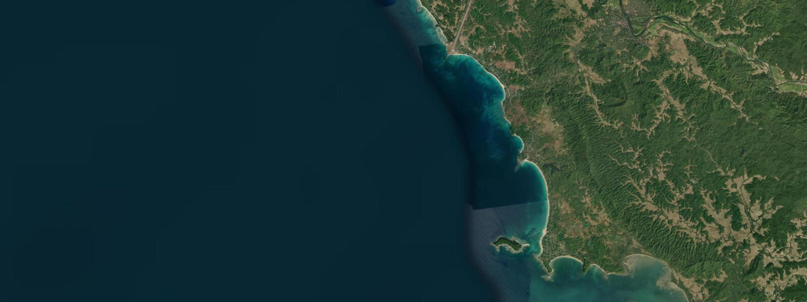
Inani Beach is a section of the Cox's Bazar continuous beach strand, 25 kilometres south of the main Cox's Bazar town development, separated from the tourist-dense Laboni Beach area by a stretch of road and rice paddy behind the beach ridge. The distance keeps Inani quieter than the town beaches — the density of beach-front businesses, horse-cart operators, and tourists that characterises Laboni is absent. On weekdays outside school holidays, Inani is essentially undisturbed.
The tidal regime is the same as the wider Cox's Bazar beach: semidiurnal with a spring range of approximately 3 to 4 metres at this latitude (slightly less than at the town, 25 kilometres north, because the bay geometry is slightly different along the coast). At low water springs, the Inani sandflat exposes 300 to 400 metres of firm, wet sand from the upper beach to the low-water mark. At high water springs, the water reaches within 10 to 20 metres of the upper beach edge. The 6-hour transition between these states is the full tidal cycle; the low-water window — roughly 2 to 3 hours centred on low water — is when the beach is widest and most walkable.
The rock formations at the southern end of Inani are the site's distinctive physical feature. At low water, these formations — dark grey-brown indurated sandstone and mudstone outcrops — emerge from the beach flat and extend in a band approximately 100 metres offshore. The rock has been eroded by wave action into irregular shapes with pools that form natural aquaria at low water: small fish, crabs, and molluscs are trapped in the pools as the tide falls. The pools refill on the rising tide, and the wave wash over the rock in the 2 hours before and after low water creates a pattern of splash and swirl across the flat.
The rock pools at Inani are the simplest and most immediately engaging natural history experience on the Cox's Bazar coast. No equipment is needed; a low-water springs visit allows an hour of exploration of the pools and the marine community they contain. Common finds: hermit crabs in various shell sizes, lined chiton (a primitive mollusc), various periwinkle species, small blennies and gobies in the pool interiors, and the occasional starfish in the deeper pool sections.
The beach between the town and Inani is accessible by auto-rickshaw from Cox's Bazar (30 to 40 minutes), CNG (natural-gas three-wheeler), and the local bus service along Marine Drive. The Marine Drive road — a coastal highway running from Cox's Bazar south to Teknaf alongside the beach — passes through Inani and gives access to a series of beach access points along its length. The road has been upgraded in recent years and is now usable at all seasons.
Fishing boats work the beach launch south of Inani on the flood tide, pulling nets in the surf zone for small reef and estuarine fish. The beach launch is low-tech: wooden boats, manually dragged through the surf on the incoming tide, with nets set perpendicular to the shore. The haul from a single net set covers the boat's deck in a few centimetres of small fish — whitebait, small snapper, and various estuarine species.
Predictions on this page come from Open-Meteo Marine, a gridded global ocean model. Accuracy is typically within plus or minus 45 minutes on timing and 0.2 to 0.3 metres on height — model-derived, not from a local gauge. The local tide authority is the Bangladesh Meteorological Department (BMD).
Tide questions about Inani Beach
Quick answers to the most common questions about tide times, range, and water access at Inani Beach.
What are the rock pools at Inani Beach?
At low water, indurated sandstone and mudstone outcrops emerge from the Inani sandflat and extend approximately 100 metres offshore. Wave erosion has shaped the rock into irregular formations with natural pools that trap seawater and marine organisms as the tide falls. Common pool inhabitants: hermit crabs in various shell sizes, chiton (a primitive mollusc that clings to rock surfaces), periwinkles, small blennies and gobies in the pool interiors, and occasional starfish. The pools are most accessible in the 1.5 to 2 hours around low water springs when the flat is fully exposed. Tide shoes or sandals with grip are recommended on the wet rock surface.
How do I get to Inani Beach from Cox's Bazar?
By auto-rickshaw or CNG (compressed natural gas three-wheeler) from Cox's Bazar town — approximately 30 to 40 minutes south on Marine Drive (the coastal road from Cox's Bazar toward Teknaf). The fare should be agreed before departure; metered service is not standard. Local buses along Marine Drive pass through Inani and are significantly cheaper. The beach is directly accessible from Marine Drive at multiple points. There is limited formal parking infrastructure; auto-rickshaws and CNGs typically wait at the popular access points for the return journey.
Is Inani Beach less crowded than the main Cox's Bazar beach?
On weekdays and outside peak domestic tourism season (November to March weekends), Inani is significantly quieter than the Laboni Beach area in central Cox's Bazar. The 25-kilometre distance from the town centre is enough to deter casual visitors and the beach-front business density is much lower. Peak crowd periods (school holidays, Eid, New Year) bring day-tripper traffic to Inani from Cox's Bazar, but even then the space is more comfortable than Laboni. The late afternoon and sunset hours are the most crowded even on normal days.
What is the tidal range at Inani Beach?
Spring tidal range at Inani is approximately 3 to 4 metres — slightly less than at Cox's Bazar town (3.5 to 4.5 metres) due to the slight difference in bay geometry 25 kilometres south. The pattern is the same semidiurnal system. At low water springs, the beach flat exposes 300 to 400 metres from the upper beach to the waterline. At high water, the water reaches within 10 to 20 metres of the upper beach. Predictions here come from Open-Meteo Marine (±45 minutes on timing, ±0.3 m on height). Not for navigation; consult the Bangladesh Meteorological Department (BMD).
Is there anywhere to eat at Inani Beach?
Basic food and drink stalls operate on the upper beach at Inani, particularly on weekends and in the peak dry season (November to March). Freshly caught beach-launched fish, grilled over charcoal or cooked in a simple curry, is the standard offering. Coconut water is available from vendors who bring fresh coconuts to the beach by bicycle. On weekdays in the off-season, stalls may be closed or limited; bring food from Cox's Bazar town if visiting outside peak hours. The nearest sit-down restaurants are in Cox's Bazar town, 25 kilometres north.
8-day tide table — Inani Beach
Heights relative to MSL. Predictions: Open-Meteo Marine (MeteoFrance SMOC, 0.08° grid) — heights relative to MSL (not chart datum / LAT). Model-derived.
| Day | Type | Time | Height |
|---|---|---|---|
| Fri 03 Jul | Low | 06:00 | -0.1m |
| High | 11:06 | 2.2m | |
| Low | 17:16 | -0.3m | |
| High | 23:23 | 1.8m | |
| Sat 04 Jul | Low | 05:13 | -0.2m |
| High | 11:46 | 2.2m | |
| Low | 17:52 | -0.2m | |
| Sun 05 Jul | High | 00:06 | 1.9m |
| Low | 05:56 | 0.0m | |
| High | 12:14 | 2.2m | |
| Low | 18:34 | -0.1m | |
| Mon 06 Jul | High | 00:48 | 1.9m |
| Low | 06:40 | 0.1m | |
| High | 12:54 | 2.0m | |
| Low | 19:19 | -0.1m | |
| Tue 07 Jul | High | 01:37 | 1.8m |
| Low | 07:38 | 0.1m | |
| High | 13:38 | 1.8m | |
| Low | 20:03 | -0.1m | |
| Wed 08 Jul | High | 02:32 | 1.7m |
| Low | 08:38 | 0.2m | |
| High | 14:33 | 1.6m | |
| Low | 21:04 | -0.1m | |
| Thu 09 Jul | High | 03:39 | 1.7m |
| Low | 09:52 | 0.3m | |
| High | 15:48 | 1.5m | |
| Low | 22:13 | -0.1m | |
| Fri 10 Jul | High | 05:00 | 1.8m |