Sitra Island Coast tide times
Sitra Island Coast tide forecast — heights relative to MSL.
Today's tide times for Sitra Island Coast
Tide times at Sitra Island Coast on Saturday, 4 July 2026: first low tide at 03:00am, first high tide at 09:06am, second low tide at 02:10pm, second high tide at 07:50pm. Sunrise 04:49am, sunset 06:33pm.
Tide chart for Sitra Island Coast
24-hour cosine-interpolated curve around the present moment. Heights relative to MSL. Predictions: Predictions: Open-Meteo Marine (MeteoFrance SMOC, 0.08° grid).
Sun, moon and conditions on Sat 04 Jul
Snapshot at build time — refreshes daily. Sea state from Open-Meteo Marine.
Highs and lows next 7 days
Every predicted high and low for the next week, with the daily tidal coefficient (0–120; higher = bigger swing, > 95 means stronger currents).
Other spots nearby
The three closest curated TideTurtle locations to Sitra Island Coast, measured by great-circle distance.

Today's solunar windows
Solunar tradition: major periods are the ≈3h windows around moon transit and opposition; minor are ≈2h around moonrise and moonset. Pair with the local tide stage and wind for the best read.
Cycle dates near Sitra Island Coast
Last spring tide on Sat 04 Jul (range 1.2m). Next neap on Thu 09 Jul.
Spring tides cluster around new and full moons (biggest swings). Neap tides land on quarter moons (smallest swings). See the spring tide and neap tide glossary entries for the why.
About tides at Sitra Island Coast
A short guide to the coastline at Sitra Island Coast — geography, sea state, and what the tide is actually doing under your feet.
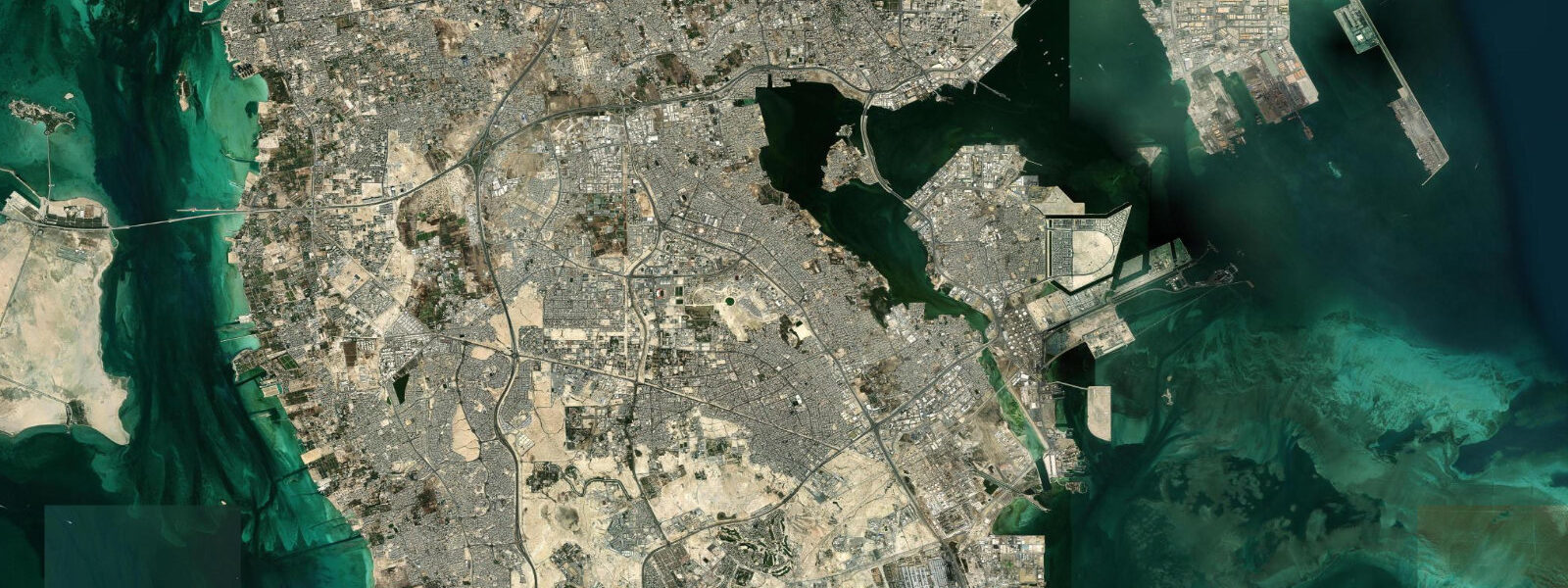
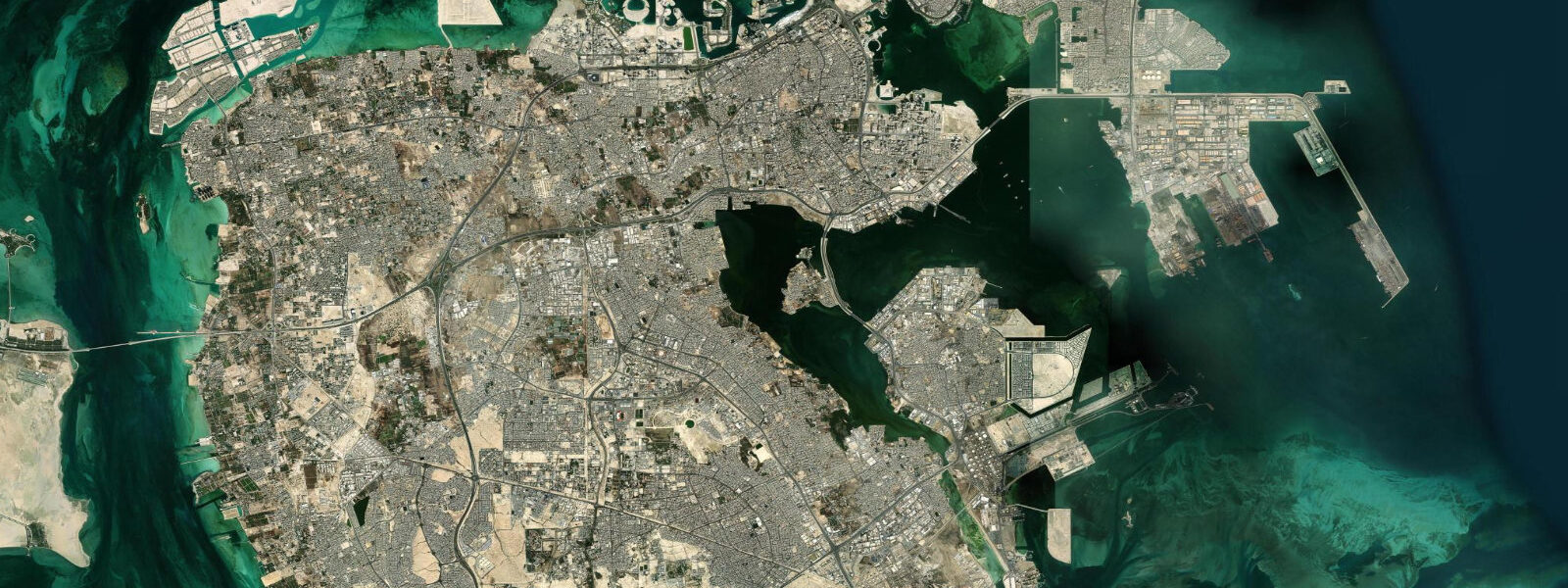
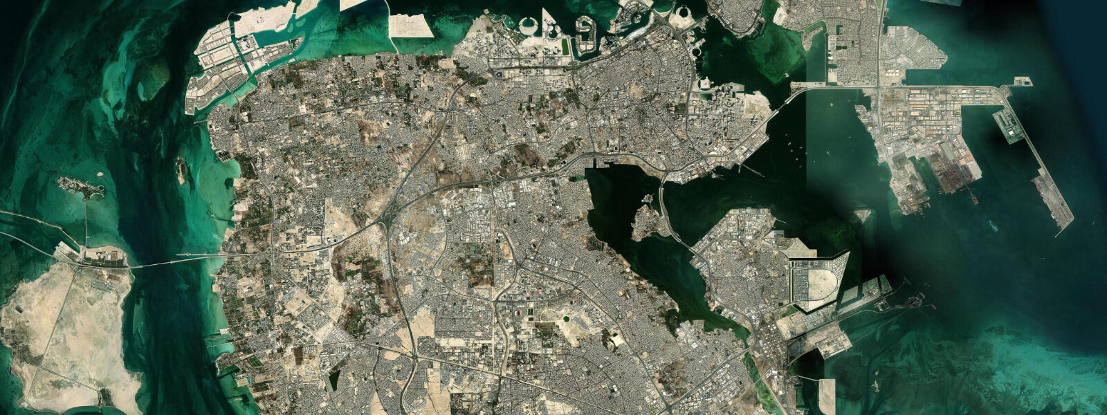
Sitra is an industrial island connected to Bahrain's main island by a causeway, hosting the BAPCO oil refinery, the Sitra Power Station, and one of the Gulf's major petroleum export terminals. The southern shore of Sitra faces the open Gulf toward the Hawar Islands and Qatar's north coast. Despite the heavy industrial character of the north and east of the island, the southern coastline retains stretches of intertidal flat and mangrove habitat that attract wading birds and serve as nursery habitat for juvenile fish and invertebrates.
The southern Sitra shore is exposed to the full fetch of the central Persian Gulf — wind and tide both work directly on this face. Tide predictions for Sitra use Open-Meteo Marine's global model. Timing accuracy ±45 minutes, height accuracy ±0.2 to 0.3 metres. The Gulf at Sitra exhibits the characteristic mixed semidiurnal pattern with significant diurnal inequality; spring range runs approximately 1.5 to 2.5 metres. Shallow Gulf waters amplify the wind-surge effect: the northwest shamal, which blows persistently in December through February and in May through June, can add 0.5 to 0.8 metres of wind setup on the southern Gulf shore.
The southern intertidal flats at Sitra are extensive at low water on spring tides. The mud and sand flat extends several hundred metres from the shoreline, with shallow channels used by small fishing vessels to reach the Gulf bank. At high water, these flats are submerged to 1.5 to 2.0 metres; the wading bird feeding that concentrated on the exposed flat during low water disperses.
For the Gulf fishery, the waters south of Sitra are traditional fishing grounds for Bahraini artisanal fishermen. Grouper, sea bream, and emperorfish are caught over the rocky and coral patches at 5 to 20 metres depth; shrimp are trawled on the soft-bottom areas. The traditional wire-cage trap (gargoor) fishery that has operated in the Gulf for generations sets and retrieves on tidal phases — ebb current carries the bait scent, and traps are checked on the subsequent flood tide.
For birdwatchers, the southern Sitra coast is productive during winter and passage seasons. The intertidal flat supports large numbers of wading birds: red-necked stint, little stint, curlew sandpiper, greater sand plover, and grey plover are present between September and April. Flamingos feed on the algal and invertebrate-rich mud at low tide in winter. The best observation is from the causeway approaches with a telescope, watching the falling tide as birds concentrate on the receding waterline.
The industrial landscape makes this an unusual birding site: petrochemical flare stacks and storage tanks form the backdrop to tidal flat wader activity. For coastal photographers interested in the juxtaposition of natural and industrial ecology — a recurring theme in the Arabian Gulf — Sitra offers direct visual material.
The water quality of the southern Gulf around Sitra has been subject to monitoring by the Bahrain government and academic institutions since the 1970s. The combination of industrial effluent from the refinery cooling water, desalination plant discharge, and shipping traffic creates a complex chemical baseline in the inshore water. Despite this, the intertidal flat biota — infaunal worms, bivalves, and crustaceans in the sediment — persists and supports the wading bird food web. The birds' presence is, in itself, an indicator of functional intertidal productivity.
The Sitra Power Station at the north end of the island is one of Bahrain's primary electricity generation facilities, using Gulf seawater for cooling. The thermal discharge — water returned to the Gulf several degrees warmer than ambient — creates a localised warm-water plume visible on satellite sea-surface temperature imagery in winter. The plume affects the local fish distribution, attracting certain species to the warmer water; local fishermen know the thermal discharge area as a productive spot in the cooler months when ambient water temperatures drop.
For the navigation record: the causeway from the main Bahrain island to Sitra crosses the shallow northern Gulf on a low bridge structure. At high spring tide, the sea level under the bridge is 1.5 to 2.0 metres above chart datum; at low spring tide, the water under the bridge shows the full 2 to 2.5 metre tidal range exposure of the shallow tidal flat surrounding the causeway.
Tide questions about Sitra Island Coast
Quick answers to the most common questions about tide times, range, and water access at Sitra Island Coast.
What is the tidal range at Sitra?
Sitra Island sits in the central Persian Gulf and experiences mixed semidiurnal tides with significant diurnal inequality. Spring range runs 1.5 to 2.5 metres; on some days the diurnal inequality is strong enough that the tidal cycle approximates a single high and single low per day. Neap range is 0.5 to 1.0 metres. Tide data here uses Open-Meteo Marine's global model, with ±45 minutes on timing and ±0.2 to 0.3 metres on heights. The shallow Gulf amplifies wind-driven surge: shamal events can add 0.5 to 0.8 metres on top of the tidal baseline on the southern Gulf shore.
Is Sitra Island accessible to the public?
The main island of Sitra is accessible from Bahrain's main island via a causeway and is a functional mixed-use island with residential, commercial, and industrial areas. The BAPCO refinery and the power station zones are restricted industrial areas. The southern coastal area is reachable by road; the shoreline itself has no formal beach park infrastructure, but the causeway approaches and the southern industrial port road give views over the intertidal flat. There is no formal visitor access to the southern shoreline wading bird areas — observation is done from roads and elevated viewpoints.
What birds are visible on the Sitra intertidal flats?
The southern Sitra intertidal flat is a productive wader site from September through April. Regularly recorded species include greater sand plover, red-necked and little stints, curlew sandpiper, dunlin, grey plover, whimbrel, and Eurasian curlew. Greater flamingo feeds on the algal mat at low tide in winter — flocks of several hundred birds are common on calm, low-tide mornings. Ospreys fish in the offshore shallows year-round. The falling tide is the optimal observation window: waders follow the receding waterline and concentrate on the newly exposed mud. Bring a telescope or long lens; close approach is difficult on the open flat.
Why is there industrial development on Sitra?
Sitra's position adjacent to Bahrain's main island and its deep-water approaches made it the logical site for Bahrain's heavy industrial development. The BAPCO refinery, established by the Bahrain Petroleum Company in 1936, was one of the first oil refineries in the Arabian Gulf and remains an operating facility. The associated export terminal and storage infrastructure followed. Sitra Power Station supplies a significant portion of Bahrain's electricity. The industrial concentration on Sitra has largely preserved the coastal and shallow-water habitats of the southern Gulf side of the main island from direct development.
What traditional fishing methods are used south of Sitra?
The gargoor — a wire-mesh or woven-reed trap used for centuries in the Arabian Gulf — is the dominant artisanal fishing method in the waters south of Sitra. Traps are baited and set on the sea floor, typically over rocky or coral patch habitat at 5 to 20 metres depth. They are checked on tidal cycles: ebb current carries bait scent, and traps fill during the subsequent flood phase as fish follow the current to the bait. Grouper, sea bream, and emperorfish are the main target species. Shrimp trawling on the soft-bottom areas to the south and east is conducted by licensed commercial vessels.
8-day tide table — Sitra Island Coast
Heights relative to MSL. Predictions: Open-Meteo Marine (MeteoFrance SMOC, 0.08° grid) — heights relative to MSL (not chart datum / LAT). Model-derived.
| Day | Type | Time | Height |
|---|---|---|---|
| Sat 04 Jul | Low | 03:00 | -0.2m |
| High | 09:06 | 0.7m | |
| Low | 14:10 | 0.3m | |
| High | 19:50 | 1.0m | |
| Sun 05 Jul | Low | 03:00 | -0.2m |
| High | 09:22 | 0.8m | |
| Mon 06 Jul | Low | 03:36 | -0.3m |
| High | 10:04 | 0.7m | |
| Low | 15:38 | 0.1m | |
| High | 21:21 | 0.8m | |
| Tue 07 Jul | Low | 04:13 | -0.3m |
| High | 10:38 | 0.7m | |
| Low | 16:24 | 0.0m | |
| High | 22:16 | 0.7m | |
| Wed 08 Jul | Low | 04:51 | -0.2m |
| High | 11:10 | 0.7m | |
| Low | 17:40 | 0.0m | |
| High | 23:19 | 0.6m | |
| Thu 09 Jul | Low | 05:37 | -0.1m |
| High | 11:57 | 0.8m | |
| Low | 18:42 | -0.1m | |
| Fri 10 Jul | High | 00:24 | 0.6m |
| Low | 06:45 | -0.1m | |
| High | 12:50 | 0.7m | |
| Low | 20:04 | -0.2m | |
| Sat 11 Jul | High | 02:00 | 0.5m |