Hawar Islands tide times
Hawar Islands tide forecast — heights relative to MSL.
Today's tide times for Hawar Islands
Tide times at Hawar Islands on Friday, 3 July 2026: first high tide at 03:00am, first low tide at 05:02am, second high tide at 12:12pm. Sunrise 04:49am, sunset 06:32pm.
Tide chart for Hawar Islands
24-hour cosine-interpolated curve around the present moment. Heights relative to MSL. Predictions: Predictions: Open-Meteo Marine (MeteoFrance SMOC, 0.08° grid).
Sun, moon and conditions on Fri 03 Jul
Snapshot at build time — refreshes daily. Sea state from Open-Meteo Marine.
Highs and lows next 7 days
Every predicted high and low for the next week, with the daily tidal coefficient (0–120; higher = bigger swing, > 95 means stronger currents).
Other spots nearby
The three closest curated TideTurtle locations to Hawar Islands, measured by great-circle distance.
Today's solunar windows
Solunar tradition: major periods are the ≈3h windows around moon transit and opposition; minor are ≈2h around moonrise and moonset. Pair with the local tide stage and wind for the best read.
Cycle dates near Hawar Islands
Last spring tide on Fri 03 Jul (range 1.0m). Next neap on Mon 06 Jul.
Spring tides cluster around new and full moons (biggest swings). Neap tides land on quarter moons (smallest swings). See the spring tide and neap tide glossary entries for the why.
About tides at Hawar Islands
A short guide to the coastline at Hawar Islands — geography, sea state, and what the tide is actually doing under your feet.
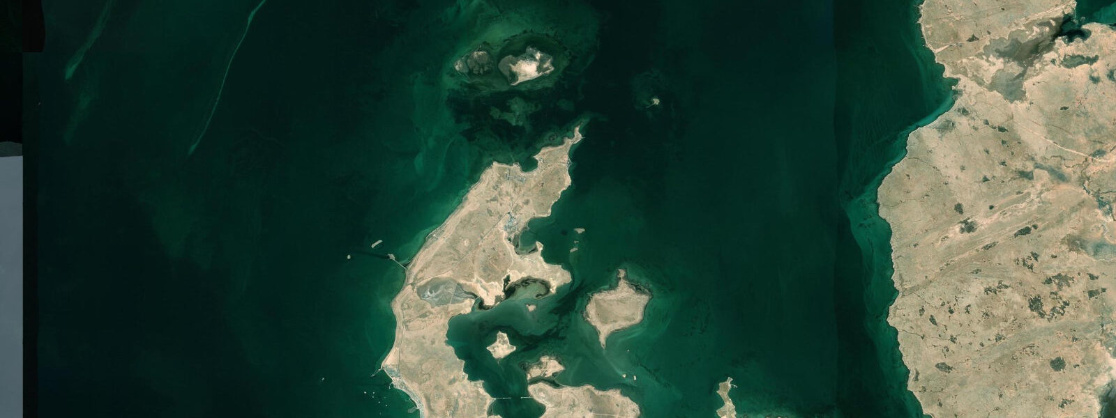
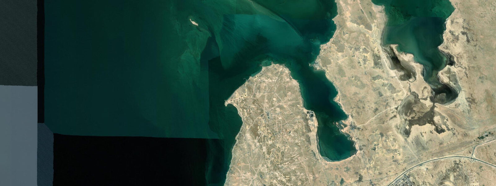
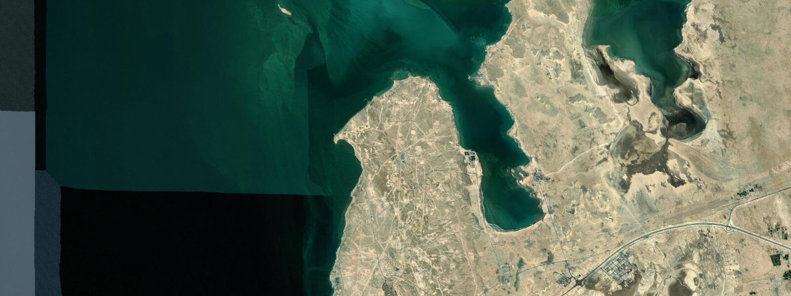
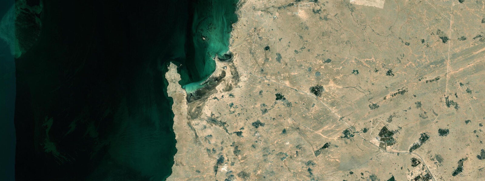
The Hawar Islands are a group of small islands at the southern end of Bahrain's territory, separated from the Qatar peninsula by a narrow channel. The main island is Hawar Island itself — about 5 kilometres long and 1 kilometre wide — with several smaller islets and exposed coral heads making up the rest of the group. The waters around them are persistently shallow: the southern Gulf here reaches depths of only 10 to 15 metres even in the deeper channels, and large areas of seagrass and coral flat are exposed on spring low tides.
This shallow, warm, seagrass-rich environment is why the Hawar Islands hold one of the largest remaining dugong populations in the Arabian Gulf. Estimates put the Bahrain dugong population at 300 to 400 individuals, with the Hawar Islands and the adjacent Dawhat Salwah bay (the channel between Hawar and the Qatar coast) forming the core habitat. Dugong feed on seagrass — particularly Halodule and Halophila species — and the shallows around Hawar support extensive seagrass beds. The animals are generally visible from the surface when they come up to breathe, roughly every 5 to 8 minutes. Boat-based watching is the standard approach: the channel waters east of Hawar Island and the shallows north of the smaller islets are the most consistent areas.
The tidal range at Hawar is approximately 1.5 to 2.5 metres on spring tides — the full southern Bahrain mixed semidiurnal range. At low spring water, the tidal flats on the western side of the island chain expose 0.5 to 1.0 kilometres of flat. This exposure is significant for wading birds: the flats are feeding habitat for Sooty gull, Western reef heron, and Kentish plover year-round. The Socotra cormorant colonies on several of the smaller Hawar islets are among the largest in the world — this species breeds colonially and the Hawar population numbers in the tens of thousands during the breeding season (November through February).
The islands' political history shaped access. Qatar and Bahrain disputed sovereignty over the Hawar Islands from the 1930s through the 1990s; the dispute was referred to the International Court of Justice, which ruled in 2001 principally in Bahrain's favour — Hawar and the main group went to Bahrain; the small Janan Island went to Qatar. The border in the Dawhat Salwah channel is the national boundary. Qatar nationals require Bahraini permission to enter the channel; the practical effect on civilian boat traffic is that the waters very close to the Qatar coastline are avoided.
Access from mainland Bahrain is by boat from the southern coast — typically from Zallaq or the southern marinas. The crossing takes 20 to 40 minutes depending on the departure point and vessel. There is a small resort on Hawar Island; independent visitors arrive by private or chartered boat. No permanent civilian settlement exists on the islands other than the resort and associated facilities.
For photographers, the combination of dugong, Socotra cormorant colonies, and the exposed tidal flat at low water provides a range of subjects. The flat light in the two hours after sunrise is optimal for both wildlife and landscape work. The cormorant breeding colony on the smaller islets is most active from November through February and can be photographed from a boat kept at a respectful distance of 100 metres or more.
The seagrass beds around the Hawar Islands support not only dugong but an associated community of species dependent on the same habitat: green turtle feed on seagrass and are present around the islands year-round; the shallows hold a range of reef fish including parrotfish, which contribute to seagrass ecosystem maintenance. The overall ecological productivity of the area — driven by seagrass, tidal exchange, and the relative absence of heavy fishing pressure inside the protected zone — is high by Gulf standards. A half-day boat trip from southern Bahrain covering dugong watching, seabird observation on the smaller islets, and the low-water tidal flat on the western side is one of the more complete wildlife experiences available in the Persian Gulf region.
Predictions on this page come from Open-Meteo Marine, a gridded global ocean model. Accuracy is typically within plus or minus 45 minutes on timing and 0.2 to 0.3 metres on height — model-derived, not from a local gauge. The authoritative source for tidal data in Bahrain is the Bahrain Meteorological Service.
Tide questions about Hawar Islands
Quick answers to the most common questions about tide times, range, and water access at Hawar Islands.
Can I see dugongs at the Hawar Islands?
Dugong are reliably present in the shallow waters around the Hawar Islands. The Bahrain population is estimated at 300 to 400 individuals, with the Hawar Islands and the Dawhat Salwah channel forming the core habitat. The animals feed on seagrass in the shallows and surface to breathe every 5 to 8 minutes — this breath is the most consistent sighting opportunity. Boat-based watching is the standard approach; the channel waters east of Hawar Island and the northern shallows are most consistent. A knowledgeable local boat operator is helpful in reading dugong behaviour and positioning the boat appropriately without disturbing the animals.
What seabirds breed on the Hawar Islands?
The smaller Hawar islets support one of the world's largest Socotra cormorant breeding colonies, with numbers reaching tens of thousands of birds during the November to February breeding season. The species is endemic to the Persian Gulf and Sea of Oman. Sooty gull breed on the main island and smaller islets; the breeding season runs April through July. Western reef heron are resident year-round on the exposed reef and tidal flat edges. Greater flamingo winter on the tidal flats in smaller numbers than the Tubli Bay and Amwaj concentrations. Osprey are present year-round as the fish stocks around the island are productive.
What was the Qatar-Bahrain dispute over the Hawar Islands?
Qatar and Bahrain disputed sovereignty over the Hawar Islands for most of the 20th century, with the dispute escalating in the 1980s. Both states referred the matter to the International Court of Justice; the ICJ issued its ruling in March 2001. The principal outcome was that the Hawar Islands and most of the disputed features were awarded to Bahrain; the small Janan Island was awarded to Qatar. The maritime boundary through the Dawhat Salwah channel was also defined. The ruling resolved the dispute legally, and relations between the two states have generally been stable since, though the channel border remains sensitive for boat operators navigating the southern Bahrain waters.
What is the tidal range at the Hawar Islands and how does it affect the tidal flats?
Spring tides at the Hawar Islands produce a range of approximately 1.5 to 2.5 metres — the full southern Bahrain mixed semidiurnal tidal range. At low spring water, the tidal flats on the western side of the island chain expose 0.5 to 1.0 kilometres of flat. This exposure is extensive in a region where the seabed is consistently shallow, and the exposed flat provides feeding habitat for wading birds and the shallow reef areas become accessible to snorkellers on foot from the beach. The seagrass beds that dugong depend on are in the subtidal zone and remain submerged even at low water, but the surrounding shallow habitat is influenced strongly by tidal exchange.
How do I get to the Hawar Islands from Manama?
The Hawar Islands are accessible by boat from the southern Bahrain coast — typically from Zallaq or the southern marinas, roughly 40 to 50 kilometres south of Manama by road. The crossing by motorised boat takes 20 to 40 minutes depending on the departure point and sea conditions. There is a small resort on Hawar Island that operates boat transfers for guests; independent visitors need to charter a local boat or join an organised day trip. No scheduled ferry service exists. The drive from Manama to the southern departure points takes 35 to 50 minutes by car.
8-day tide table — Hawar Islands
Heights relative to MSL. Predictions: Open-Meteo Marine (MeteoFrance SMOC, 0.08° grid) — heights relative to MSL (not chart datum / LAT). Model-derived.
| Day | Type | Time | Height |
|---|---|---|---|
| Fri 03 Jul | High | 03:00 | -0.0m |
| Low | 05:02 | -0.2m | |
| High | 12:12 | 0.8m | |
| Sat 04 Jul | Low | 05:24 | -0.2m |
| High | 22:47 | 0.7m | |
| Sun 05 Jul | Low | 05:57 | -0.2m |
| High | 12:52 | 0.8m | |
| Low | 18:45 | 0.3m | |
| Mon 06 Jul | High | 13:22 | 0.7m |
| Low | 19:18 | 0.2m | |
| Tue 07 Jul | High | 00:18 | 0.6m |
| Low | 06:55 | -0.2m | |
| High | 13:52 | 0.7m | |
| Low | 20:06 | 0.2m | |
| Wed 08 Jul | High | 01:20 | 0.5m |
| Low | 07:21 | 0.0m | |
| High | 14:16 | 0.8m | |
| Low | 21:00 | 0.1m | |
| Thu 09 Jul | High | 14:55 | 0.8m |
| Low | 22:00 | 0.0m | |
| Fri 10 Jul | High | 02:00 | 0.4m |