Amwaj Islands tide times
Amwaj Islands tide forecast — heights relative to MSL.
Tide chart for Amwaj Islands
24-hour cosine-interpolated curve around the present moment. Heights relative to MSL. Predictions: Predictions: Open-Meteo Marine (MeteoFrance SMOC, 0.08° grid).
Sun, moon and conditions on Fri 03 Jul
Snapshot at build time — refreshes daily. Sea state from Open-Meteo Marine.
Highs and lows next 7 days
Every predicted high and low for the next week, with the daily tidal coefficient (0–120; higher = bigger swing, > 95 means stronger currents).
Other spots nearby
The three closest curated TideTurtle locations to Amwaj Islands, measured by great-circle distance.
Today's solunar windows
Solunar tradition: major periods are the ≈3h windows around moon transit and opposition; minor are ≈2h around moonrise and moonset. Pair with the local tide stage and wind for the best read.
About tides at Amwaj Islands
A short guide to the coastline at Amwaj Islands — geography, sea state, and what the tide is actually doing under your feet.
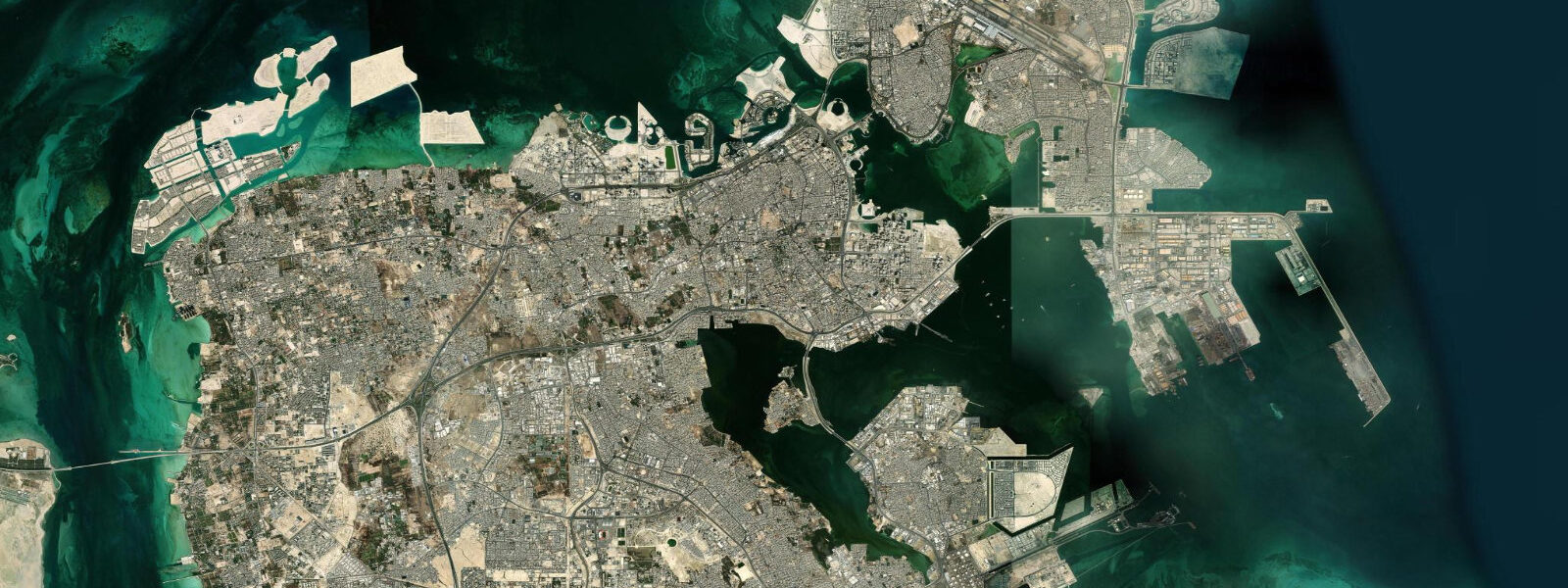
Amwaj Islands is a reclaimed archipelago off the northeastern coast of Bahrain, developed in the early 2000s as a mixed residential, marina, and retail district. The development created approximately 2.8 square kilometres of new land from the shallow Persian Gulf, and the lagoon system enclosed by the outer perimeter of the islands provides calm, sheltered water for a marina and water sports.
The tidal regime at Amwaj mirrors the broader northern Bahrain pattern: mixed semidiurnal with spring tides producing a range of approximately 1.5 to 2.0 metres. The lagoon inside the island perimeter is partially sheltered from the full tidal exchange, but the channels connecting the lagoon to the open Gulf flush with each tidal cycle. At low spring water, the tidal flats on the eastern and northern sides of the Amwaj outer perimeter expose significantly — and these flats are the reason the location matters for wildlife beyond the marina infrastructure.
Bahrain sits on a major waterbird flyway and the northeastern coastal areas — including the flats adjacent to Amwaj — are important wintering grounds for greater flamingo. The numbers here complement the larger concentrations in Tubli Bay to the south: 300 to 800 flamingos are often present on the Amwaj outer flats in the peak winter months (December through February). The birds are visible from the outer road that circles the island's eastern perimeter; low tide on a spring cycle brings them closest to the road edge as they follow the receding water across the flat.
The Lagoon area on the inner western side of the development is the main water-sports hub. Jet ski hire, kayak rental, and paddleboard instruction operate from the marina. The enclosed water is calm regardless of conditions in the outer Gulf. Kayaking the lagoon at high tide and the inner channels at the top of the ebb — before the current builds in the connecting channels — is the standard approach. The channel currents during the mid-ebb and mid-flood can run to 1.5 to 2.0 knots in the narrower cuts, making paddling against them impractical.
Fishing from the marina breakwaters and outer revetment produces mixed results depending on the tidal phase. The last two hours of the ebb concentrate fish against the outer breakwater structure; queenfish (Scomberoides commersonnianus), silver pomfret, and rabbitfish are the common catches. The outer revetment on the eastern side, away from the marina traffic, is the better platform.
The development's retail and dining strip faces the inner lagoon. The Amwaj Lagoon area has a concentration of restaurants accessible from the waterfront promenade. The promenade is a flat, paved circuit — useful for early morning runs or evening walks in the cooler months. November through March is the usable outdoor window; summer heat and humidity confine activity to the early morning hours.
For photographers, the outer eastern flats at low water on a clear winter morning offer flamingos against the Gulf horizon, with the Bahrain mainland skyline faintly visible to the south. The combination of available light before 08:00, accessible road-edge positions, and reliable flamingo presence makes this one of the more straightforward flamingo photography sites in the Gulf region — no specialist access, no boat required.
The Amwaj development is a useful lens for understanding the broader pattern of Gulf coastal change: shallow tidal flats reclaimed for real estate, replacing intertidal habitat with hard infrastructure, but in doing so creating new edge habitats — the revetment and marina walls that now support reef fish, and the outer perimeter that creates sheltered lagoon habitat adjacent to the remaining tidal flats. The flamingo that feed on the Amwaj outer flats are using the juxtaposition of development and retained flat — neither would work alone. This is not an argument for reclamation; it is an observation about how coastal wildlife adapts to the margin between the built and the natural.
The best single session at Amwaj: arrive at the outer eastern perimeter road 90 minutes before low water on a spring tide, watch the flamingo feeding as the flat exposes, then move to the marina for breakfast and a kayak hire. Done by 10:00 before the heat becomes a constraint.
Predictions on this page come from Open-Meteo Marine, a gridded global ocean model. Accuracy is typically within plus or minus 45 minutes on timing and 0.2 to 0.3 metres on height — model-derived, not from a local gauge. The authoritative source for tidal data in Bahrain is the Bahrain Meteorological Service.
Tide questions about Amwaj Islands
Quick answers to the most common questions about tide times, range, and water access at Amwaj Islands.
What water sports are available at Amwaj Islands?
The lagoon inside the Amwaj Islands perimeter supports jet ski hire, kayak rental, and paddleboard instruction. The enclosed water is calm regardless of conditions in the outer Gulf, which makes it a practical location for beginners. Kayaking and paddleboarding are best done in the two hours around high water, before the tidal current builds in the connecting channels to the outer Gulf. Once the ebb is well established, channel currents can reach 1.5 to 2.0 knots in the narrow cuts — manageable for experienced paddlers, tiring for beginners. Boat trips to the outer waters are also available from the marina.
Can I see flamingos at Amwaj Islands?
Yes. The tidal flats on the eastern and northern outer perimeter of Amwaj attract wintering greater flamingo — numbers typically 300 to 800 birds in peak months (December through February). The flats are exposed at low water on spring tides, and the flamingos follow the receding tide to feed on the exposed invertebrates. They are visible from the outer perimeter road without requiring any specialist access or boat. The two hours either side of low water on a spring tide is the most productive viewing window. A telephoto lens (300mm equivalent minimum) is useful; the birds sometimes feed 200 to 400 metres from the road edge.
Is fishing good at Amwaj Islands?
The outer revetment and marina breakwaters at Amwaj produce queenfish, silver pomfret, and rabbitfish on rod and line. The most productive period is the last two hours of the ebb tide, when fish concentrate against the structure as the water drops. The outer eastern revetment, away from the marina traffic and boat wash, is the better fishing platform. No permit is required for recreational rod fishing from public structure. The marina area itself is less productive — boat traffic and the enclosed water favour the outer edge. Morning fishing sessions, timed to coincide with a falling spring tide, give the best results.
What is the tidal range at Amwaj Islands?
Amwaj Islands sit in the northern Bahrain coastal zone and experience the same mixed semidiurnal tidal regime as Manama. Spring tides produce a range of approximately 1.5 to 2.0 metres. The lagoon inside the island perimeter is partially sheltered, but the tidal exchange through the connecting channels is significant. At low spring water the outer eastern flats expose for several hundred metres, creating the feeding habitat that attracts flamingo and wading birds. Channel currents during the mid-ebb and mid-flood run to 1.5 to 2.0 knots in the narrower cuts between the island perimeter and the adjacent mudflats.
How do I get to Amwaj Islands from Manama?
Amwaj Islands are connected to the Muharraq Island causeway system by road; the drive from central Manama takes approximately 20 to 30 minutes by car. There is no public ferry service. The route runs across Muharraq Island (where Bahrain International Airport is located) and then across the causeway to the Amwaj perimeter road. The outer perimeter road circles the entire island and is accessible by private vehicle — no gate or access control. Taxis and ride-share services from Manama are available and straightforward.
0-day tide table — Amwaj Islands
Heights relative to MSL. Predictions: Open-Meteo Marine (MeteoFrance SMOC, 0.08° grid) — heights relative to MSL (not chart datum / LAT). Model-derived.
| Day | Type | Time | Height |
|---|