Lucaya, Grand Bahama tide times
Lucaya, Grand Bahama tide forecast — heights relative to MSL.
Today's tide times for Lucaya, Grand Bahama
Tide times at Lucaya, Grand Bahama on Friday, 19 June 2026: first low tide at 05:42am, first high tide at 11:48am, second low tide at 05:53pm. Sunrise 06:22am, sunset 08:10pm.
Tide chart for Lucaya, Grand Bahama
24-hour cosine-interpolated curve around the present moment. Heights relative to MSL. Predictions: Predictions: Open-Meteo Marine (MeteoFrance SMOC, 0.08° grid).
Sun, moon and conditions on Fri 19 Jun
Snapshot at build time — refreshes daily. Sea state from Open-Meteo Marine.
Highs and lows next 7 days
Every predicted high and low for the next week, with the daily tidal coefficient (0–120; higher = bigger swing, > 95 means stronger currents).
Other spots nearby
The three closest curated TideTurtle locations to Lucaya, Grand Bahama, measured by great-circle distance.

Today's solunar windows
Solunar tradition: major periods are the ≈3h windows around moon transit and opposition; minor are ≈2h around moonrise and moonset. Pair with the local tide stage and wind for the best read.
Cycle dates near Lucaya, Grand Bahama
Next spring tide on Sat 20 Jun (range 0.8m). Next neap on Tue 23 Jun.
Spring tides cluster around new and full moons (biggest swings). Neap tides land on quarter moons (smallest swings). See the spring tide and neap tide glossary entries for the why.
About tides at Lucaya, Grand Bahama
A short guide to the coastline at Lucaya, Grand Bahama — geography, sea state, and what the tide is actually doing under your feet.
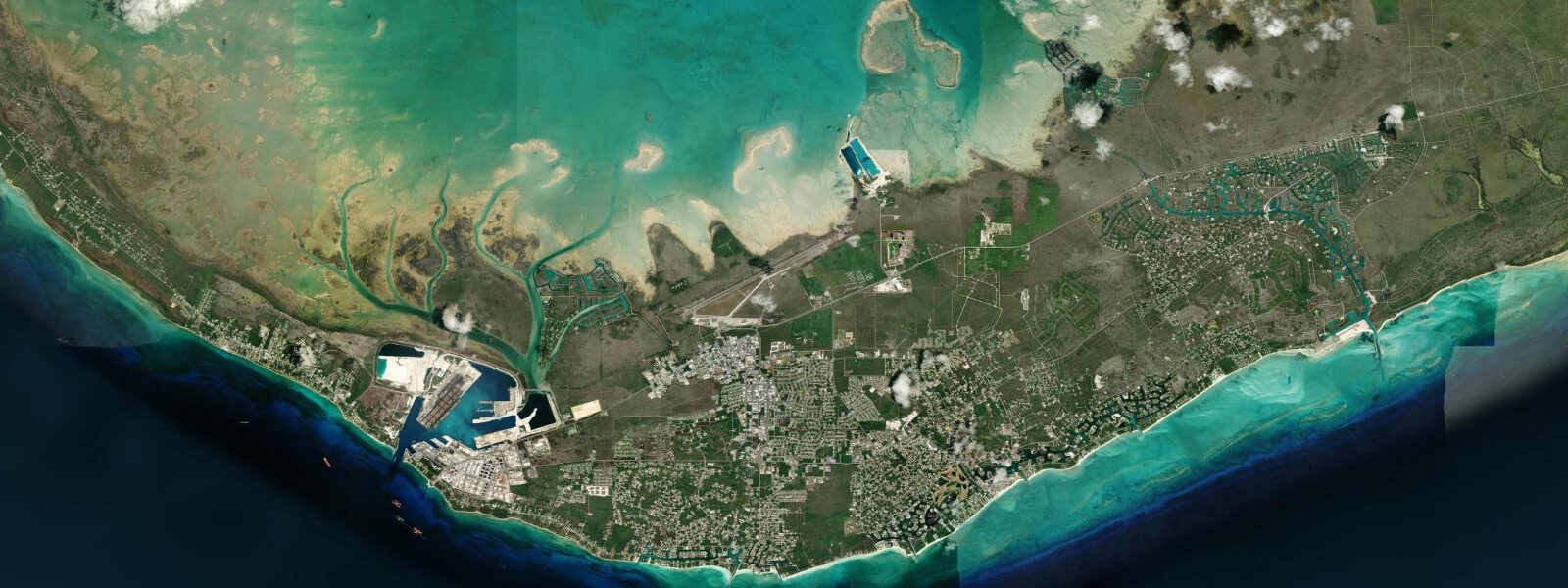
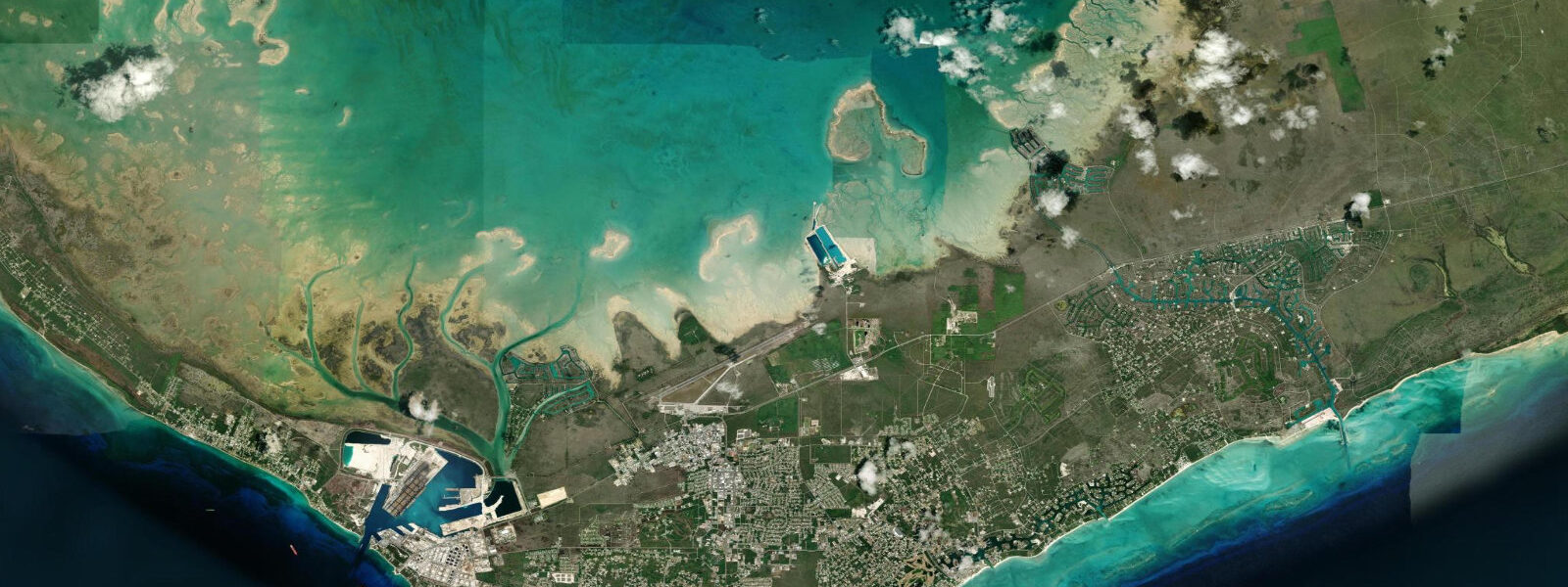
Grand Bahama Island sits on the edge of the Little Bahama Bank, a shallow limestone shelf that extends northwest from the Bahamian archipelago toward the Florida coast. This geology matters for tides. The Atlantic's semidiurnal signal — two highs and two lows per day — gets funnelled through the Northwest Providence Channel and modulated across the bank, producing a mean spring range of 0.8–1.2 m at Lucaya. That is roughly twice what you find in the microtidal Caribbean, and the difference is visible: beaches widen, flats expose, and cave systems pulse.
Lucaya is the waterfront district of Freeport, Grand Bahama's main city. Port Lucaya Marketplace sits at the harbour's edge — a complex of restaurants, shops, and a marina basin protected by a breakwater. The basin itself stays calm regardless of tidal state; it is the surrounding channels and open shoreline where tidal movement becomes relevant. Taino Beach, immediately east of the Port Lucaya area, faces the open harbour entrance. At low water, the beach widens by 15–20 m and the sandbar 80 m offshore sits barely submerged, visible as a colour change in the water. High-water swims over the bar give snorkellers access to the reef patches beyond; low-water periods are better for walking the shore.
For anglers fishing the Lucaya area, the tide drives structure fishing around the harbour mouth and the shallow flats extending east along the shoreline. Snapper and grouper hold on the rock edges; the current picks up to 0.5–0.8 knots on spring ebb as water drains from the harbour basin through the main channel. Dawn on a flood is the standard pattern for fishing the channel edges from the Port Lucaya dock.
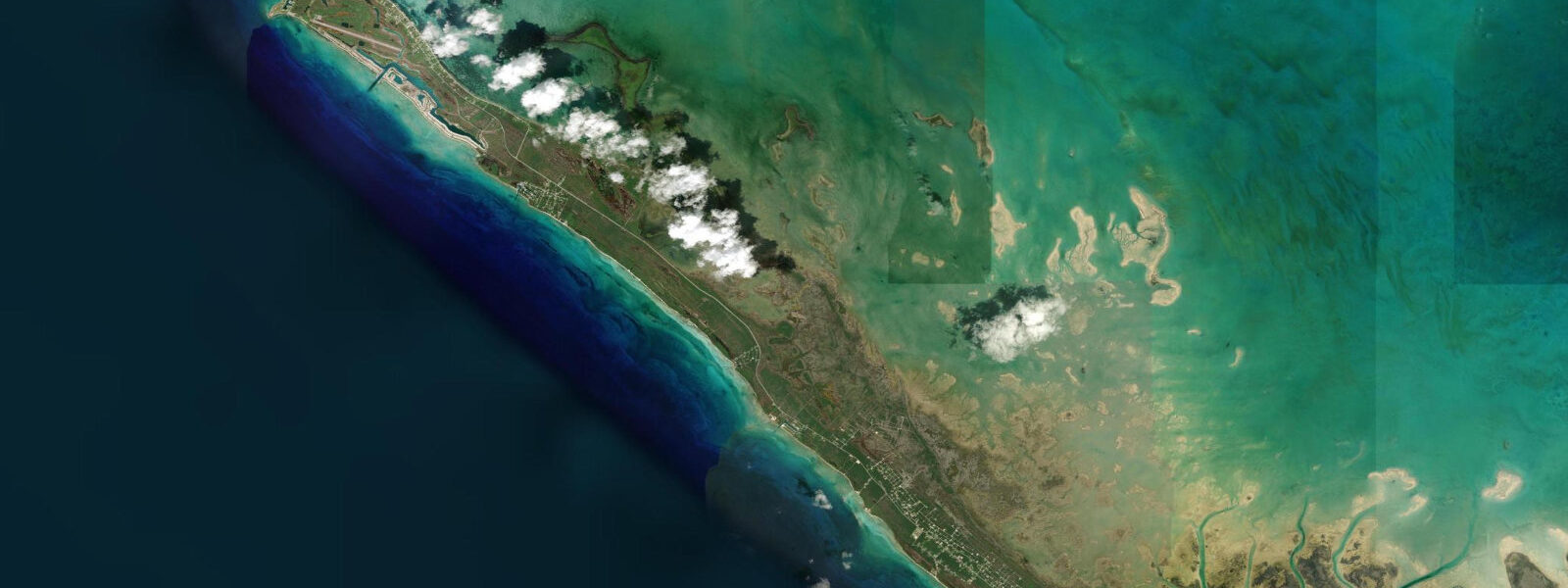
Lucayan National Park, 11 km east of Port Lucaya along the Queen's Highway, is the tidal feature that makes Grand Bahama unusual on a global scale. Ben's Cave and Burial Mound Cave are entry points to one of the world's longest charted underwater cave systems — tidal water moves through at depth. The upper freshwater lens from inland aquifer recharge and the deeper saltwater intrusion from the ocean meet at a halocline, a sharp density boundary visible to divers as a shimmering interface at roughly 20 m depth. On strong spring tides, a slight pulsing is detectable in the cave water — not dramatic, but measurable, as the ocean pressure shifts the saltwater layer a few centimetres up and down over a 6-hour cycle. Cave diving here is for technical divers only; surface visits via the park boardwalk reach the cave openings without water entry.
Gold Rock Beach, within the park boundary, is the tidal-flat showcase on Grand Bahama. The beach faces south into a shallow embayment. At mean low water, the flat exposes 200–300 m of hard-packed sand — wide enough that the tree line looks distant. Shorebirds work the exposed sediment: sandpipers, willets, and the occasional reddish egret. The flat is passable on foot at low water but becomes thigh-deep and then impassable as the tide returns; the incoming flood moves fast across flat ground. Arrive at low water, walk the flat, leave before the mid-flood — that is the practical visit structure. Photographers shooting the beach at low tide get the geometry that the brochures use: vast pale sand, turquoise line of water at the bar, pine hammock framing the inland edge.
UNEXSO — the Underwater Explorers Society — operates from the Port Lucaya harbour. Their dolphin interaction programme takes participants into ocean-connected water; the animals move freely in a tidal lagoon rather than a closed pool. The experience changes between high and low water as the lagoon depth shifts. Dive trips depart from the UNEXSO dock and run to sites on the north side of Grand Bahama, where the shelf edge drops to oceanic depth. Tidal current at the shelf edge runs 0.5–1.0 knots; dive operators brief current direction based on tide state.
For paddlers, the Lucaya harbour is the starting point for kayak tours running east toward Gold Rock Beach. The 11 km run has light current in the coastal channel — manageable in both directions, but easier with a flood assist going east in the morning and an ebb return in the afternoon.
Family beach days at Taino Beach work best at high water for swimming depth over the offshore bar. Low water is shallower and calmer close in — better for children in the shore zone. Sunsets over the harbour mouth from the Port Lucaya boardwalk align with ebb tide in the evening hours in most seasons, meaning the current runs outward as the light drops.
Tide data for Lucaya, Grand Bahama comes from the Open-Meteo Marine API, a gridded model product. Timing accuracy is ±45 minutes, height accuracy ±0.3 m — usable for trip planning, not for navigation.
Tide questions about Lucaya, Grand Bahama
Quick answers to the most common questions about tide times, range, and water access at Lucaya, Grand Bahama.
What is the tidal range at Lucaya, Grand Bahama?
Lucaya has a semidiurnal tide — two highs and two lows daily — with a mean spring range of 0.8–1.2 m. This is larger than the microtidal Caribbean norm because of Atlantic influence channelled through the Northwest Providence Channel and across the Little Bahama Bank. Neap ranges drop to 0.5–0.7 m. The tide is not dramatic by Atlantic standards, but it is significant enough to change beach widths by 15–20 m and to expose tidal flats at Lucayan National Park by 200 m or more at low water.
When is low tide at Gold Rock Beach worth visiting?
Low tide at Gold Rock Beach within Lucayan National Park exposes a 200–300 m tidal flat of hard-packed sand — the park's signature landscape feature. Arrive within 90 minutes of low water for maximum flat exposure. The incoming flood moves quickly across flat terrain, so plan to leave before the tide is two hours past low. Early morning low tides are best: the light is good for photography, shorebird activity peaks, and the heat is manageable. Check the tide table the night before; spring low tides (around new and full moon) produce the widest exposure.
Is the tidal current relevant for kayaking from Port Lucaya to Gold Rock Beach?
The coastal channel between Port Lucaya and Lucayan National Park is about 11 km. Current in the channel runs 0.3–0.5 knots on average, picking up to 0.8 knots near the harbour entrance on spring tides. A flood tide assists an eastbound morning run; an ebb assists the return. Align your departure with the tidal phase rather than fighting it — the difference in paddling effort over 11 km is significant. Most guide operators run the route as a flood-east, ebb-west day trip, launching about two hours before high water and returning on the ebb.
What is the halocline in Lucayan National Park caves, and does the tide affect it?
The Lucayan cave system holds two water layers: a freshwater lens from inland aquifer recharge sits above a denser saltwater intrusion from the ocean. The boundary between them — the halocline — appears at roughly 20 m depth as a shimmering interface visible to cave divers. The ocean-connected saltwater layer shows slight tidal pulsing: as the sea level rises and falls by 0.8–1.2 m over the tidal cycle, the saltwater layer shifts a few centimetres vertically. The effect is subtle but real. Surface visitors can see the cave opening from the park boardwalk; cave diving is for technical divers with appropriate training and equipment.
What is the best tide for fishing the channel edges at Port Lucaya?
The ebb tide produces the strongest current at the Port Lucaya harbour channel mouth — 0.5–0.8 knots on spring tides — which concentrates bait and attracts snapper and grouper on the rock edges. The first two hours of ebb from the Lucaya side, typically in the late morning or early afternoon depending on the day's tide table, are the productive window. The flood is fishable too, particularly at dawn when fish are feeding actively regardless of direction. Drift the channel edges with the current rather than anchoring against it; the boat position and bait presentation both improve when you work with the tidal flow.
7-day tide table — Lucaya, Grand Bahama
Heights relative to MSL. Predictions: Open-Meteo Marine (MeteoFrance SMOC, 0.08° grid) — heights relative to MSL (not chart datum / LAT). Model-derived.
| Day | Type | Time | Height |
|---|---|---|---|
| Fri 19 Jun | Low | 05:42 | -0.1m |
| High | 11:48 | 0.7m | |
| Low | 17:53 | -0.1m | |
| Sat 20 Jun | High | 00:19 | 0.8m |
| Low | 18:50 | -0.0m | |
| Sun 21 Jun | High | 01:08 | 0.7m |
| Low | 07:24 | -0.1m | |
| High | 13:45 | 0.7m | |
| Low | 19:50 | -0.0m | |
| Mon 22 Jun | High | 02:00 | 0.7m |
| Low | 08:18 | -0.1m | |
| High | 14:47 | 0.7m | |
| Low | 20:55 | 0.0m | |
| Tue 23 Jun | High | 02:50 | 0.6m |
| Low | 09:06 | -0.1m | |
| High | 15:38 | 0.6m | |
| Low | 21:52 | -0.0m | |
| Wed 24 Jun | High | 03:45 | 0.5m |
| Low | 09:52 | -0.1m | |
| Thu 25 Jun | High | 04:37 | 0.5m |
| Low | 10:45 | -0.1m | |
| High | 17:22 | 0.7m |