Freeport tide times
Freeport tide forecast — heights relative to MSL.
Today's tide times for Freeport
Tide times at Freeport on Wednesday, 29 July 2026: first low tide at 02:03am, first high tide at 07:45am, second low tide at 01:48pm, second high tide at 08:15pm. Sunrise 06:38am, sunset 08:04pm.
Tide chart for Freeport
24-hour cosine-interpolated curve around the present moment. Heights relative to MSL. Predictions: Predictions: Open-Meteo Marine (MeteoFrance SMOC, 0.08° grid).
Sun, moon and conditions on Wed 29 Jul
Snapshot at build time — refreshes daily. Sea state from Open-Meteo Marine.
Highs and lows next 7 days
Every predicted high and low for the next week, with the daily tidal coefficient (0–120; higher = bigger swing, > 95 means stronger currents).
Other spots nearby
The three closest curated TideTurtle locations to Freeport, measured by great-circle distance.

Today's solunar windows
Solunar tradition: major periods are the ≈3h windows around moon transit and opposition; minor are ≈2h around moonrise and moonset. Pair with the local tide stage and wind for the best read.
Cycle dates near Freeport
Next spring tide on Fri 31 Jul (range 0.8m). Last neap on Tue 28 Jul. Next neap on Mon 03 Aug.
Spring tides cluster around new and full moons (biggest swings). Neap tides land on quarter moons (smallest swings). See the spring tide and neap tide glossary entries for the why.
About tides at Freeport
A short guide to the coastline at Freeport — geography, sea state, and what the tide is actually doing under your feet.
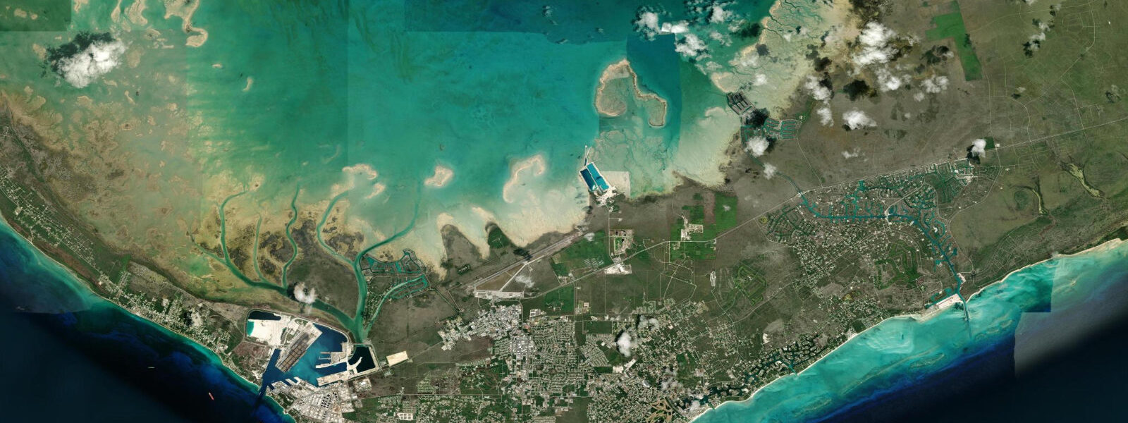
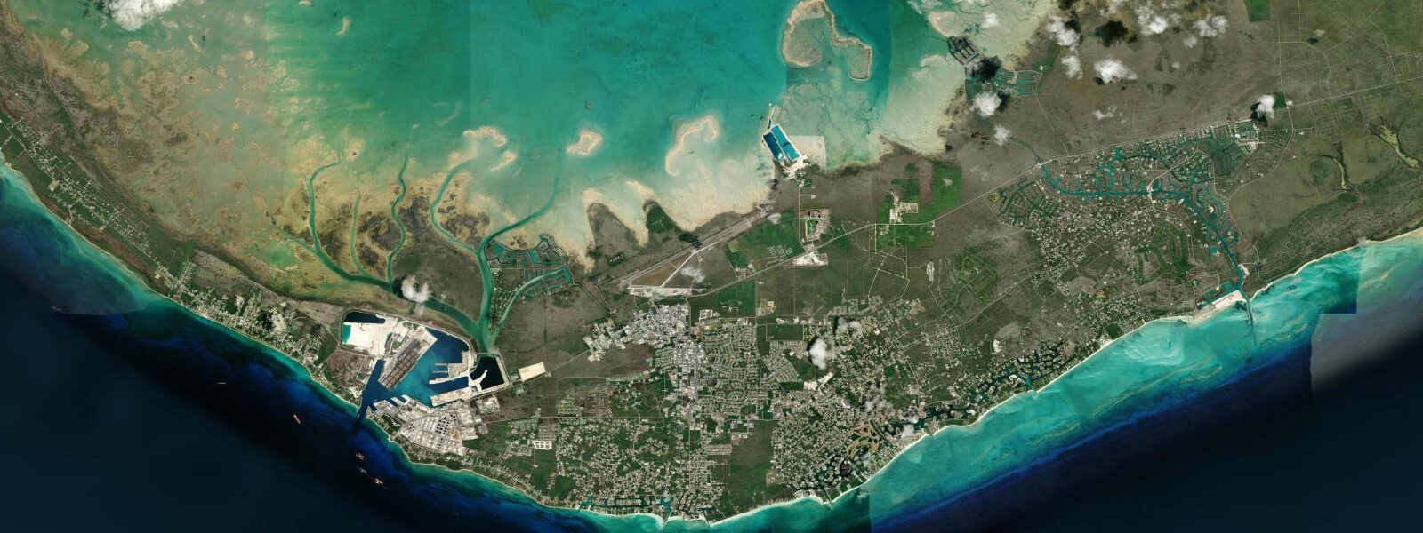
Freeport sits on the southern shore of Grand Bahama, the long thin northernmost large island of the Bahamian archipelago, separated from the Florida coast by the seventy-mile Northwest Providence Channel. The Lucaya resort district lies a few kilometres east of Freeport along the same southern shore, facing the Lucayan Reef line offshore. The tide here is semidiurnal with two near-equal highs and two near-equal lows each day on the lunar twelve-hour-twenty-five-minute cycle; diurnal inequality is small.
Mean astronomical range in the Freeport area runs roughly 70 to 90 cm, comparable to Nassau on New Providence and consistent with the broader northwestern Bahamas regime. Spring tides around new and full moons push the swing toward a metre. The Lucayan Reef offshore breaks most of the open Atlantic swell before it reaches the southern Grand Bahama beaches, producing two distinct regimes within a short distance: a sheltered shore behind the reef where the water at Xanadu Beach and the Port Lucaya beach is glassy in calm weather, and a more exposed regime in front of the reef where swell, current and surge from the reef line itself are the dominant factors.
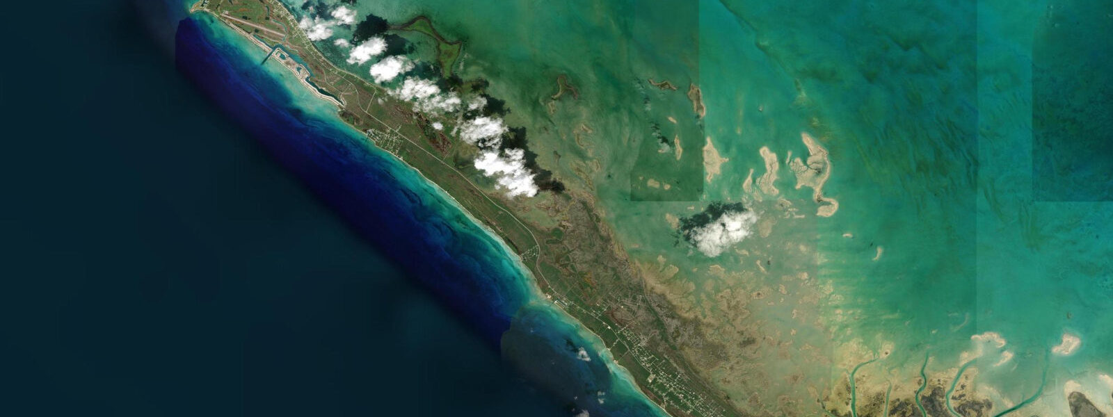
The northern shore of Grand Bahama, facing the Little Bahama Bank, has its own gentler regime driven by bank-water exchange rather than open ocean. The southern coast at Gold Rock Beach, twenty kilometres east of Lucaya inside Lucayan National Park, exposes a wide intertidal flat on the largest spring lows — the visible change in beach width between high and low at Gold Rock is among the most pronounced anywhere on Grand Bahama, and the sand-bar pattern revealed at low water is one of the more photographed features of the southern coast. Snorkellers and divers work the Lucayan Reef ledges, the outer wall, and the inland Ben's Cave and Burial Mound Cave blue holes inside Lucayan National Park; the reef visibility windows align loosely with the slack-tide hour either side of the predicted high or low when reef-line current is at its lowest.
Shore anglers fish the rocky points at the western base of the island and the bonefish flats inside the Smith Point and Eight Mile Rock area on the falling tide; the incoming tide brings snapper and grouper to the shallower reef ledges. Paddlers launching from Port Lucaya Marina find a sheltered marina regime; paddlers heading toward Peterson Cay and the offshore patch reefs plan around wind, swell and the trade-wind cycle. Family beach-walkers at Xanadu Beach and along the Lucaya stretch benefit from the moderate tide and the predictable trade-wind sea state in calm weather; photographers favour the early-morning low at Gold Rock Beach for the rippled sand-bar patterns and the late-afternoon high at Port Lucaya for the marina and pastel-painted Marketplace silhouettes.
Freeport Harbour and the container port on the southwestern shore handle commercial traffic and cruise-ship calls; the harbour approach channel current runs noticeably on the spring ebb. NOAA does not publish a Grand Bahama harmonic station; the Bahamas Department of Meteorology issues general marine forecasts for Bahamian waters and is the authoritative regional source for storm and surge advisories. NOAA's southeastern Florida gauges at Lake Worth and the IHO regional reference for the Northwest Providence Channel provide useful cross-checks.
Predictions on this page come from Open-Meteo Marine, a gridded global ocean model. 3 metres on height — at Freeport's 70 to 90 cm range, the uncertainty is a noticeable but smaller fraction of the total signal than at microtidal coasts. Treat the predicted highs and lows as approximate, and weight the Bahamas Department of Meteorology forecasts and any surge advisories during the August-October tropical-system peak.
Tide questions about Freeport
Quick answers to the most common questions about tide times, range, and water access at Freeport.
When is the next high tide at Freeport?
The hero block at the top of this page shows the next predicted high at Freeport in local Eastern Standard Time (EST/EDT, UTC-5/UTC-4 with daylight saving). The semidiurnal cycle runs at twelve hours and twenty-five minutes on the lunar pattern, with two near-equal highs and two near-equal lows each day. Mean range in the Freeport area is roughly 70 to 90 cm — moderate, comparable to Nassau. The Bahamas Department of Meteorology publishes the authoritative regional marine forecasts for Bahamian waters.
What's the typical tide range at Freeport?
Mean astronomical range at Freeport runs roughly 70 to 90 cm on the semidiurnal pattern — moderate by Caribbean and Bahamian standards and consistent with the northwestern Bahamas regime. Spring tides around new and full moons push toward a metre; neap tides compress the swing. The most pronounced visible effect is on the southern coast at Gold Rock Beach inside Lucayan National Park, where the wide intertidal flat exposes a substantial sand bar at the largest spring lows — the beach changes character markedly between the high and the low.
Where do these tide predictions come from?
Open-Meteo Marine, a free gridded global ocean model. The model estimates tidal height across a geographic grid rather than from harmonic analysis of a Freeport gauge — NOAA does not publish a Grand Bahama station. Accuracy is typically within plus or minus 45 minutes on timing and 0.2 to 0.3 metres on height. The Bahamas Department of Meteorology publishes regional marine and storm-surge forecasts; NOAA's Florida gauges at Lake Worth and Settlement Point provide a useful Northwest Providence Channel cross-reference.
Is it safe to swim and snorkel at Freeport?
Xanadu Beach, the Lucaya beach stretch and the inshore Port Lucaya area are well-suited to swimming and casual snorkelling in calm trade-wind weather, with the Lucayan Reef offshore breaking the open-Atlantic swell. The reef ledges and the outer wall are exposed water that requires moderate snorkelling experience and awareness of the reef-line current; the slack hour either side of the predicted high or low is the calmer window. Gold Rock Beach is a wading and walking shore on the spring lows. Standard Caribbean beach safety applies: respect lifeguard flags, avoid the water during named tropical storms, and check the trade-wind and swell forecast before reef snorkelling or paddling toward Peterson Cay.
Is this safe to use for navigation?
No. Freeport Harbour, the container port approach channel, the Lucaya marina and the Lucayan Reef line carry commercial traffic and require licensed pilotage where applicable. Use the Bahamas Hydrographic Office charts, the Bahamas Department of Meteorology marine forecasts, and the relevant Notices to Mariners. Open-Meteo Marine gridded predictions are not gauge-calibrated harmonic data and do not replace authoritative sources for any vessel operation.
7-day tide table — Freeport
Heights relative to MSL. Predictions: Open-Meteo Marine (MeteoFrance SMOC, 0.08° grid) — heights relative to MSL (not chart datum / LAT). Model-derived.
| Day | Type | Time | Height |
|---|---|---|---|
| Wed 29 Jul | Low | 02:03 | 0.0m |
| High | 07:45 | 0.6m | |
| Low | 13:48 | -0.1m | |
| High | 20:15 | 0.8m | |
| Thu 30 Jul | — | ||
| Fri 31 Jul | Low | 03:13 | -0.1m |
| High | 09:10 | 0.7m | |
| Low | 15:10 | -0.1m | |
| High | 21:35 | 0.8m | |
| Sat 01 Aug | Low | 03:46 | -0.0m |
| High | 09:51 | 0.7m | |
| Low | 15:50 | -0.0m | |
| High | 22:10 | 0.8m | |
| Sun 02 Aug | Low | 04:24 | -0.0m |
| High | 10:36 | 0.8m | |
| Low | 16:36 | -0.0m | |
| High | 22:55 | 0.8m | |
| Mon 03 Aug | Low | 05:05 | -0.1m |
| High | 23:36 | 0.7m | |
| Tue 04 Aug | Low | 05:51 | -0.1m |
| High | 12:18 | 0.8m | |
| Low | 18:19 | 0.0m | |