Esperance tide times
Esperance tide forecast — heights relative to MSL.
Today's tide times for Esperance
Tide times at Esperance on Friday, 19 June 2026: first low tide at 10:00, first high tide at 14:50. Sunrise 08:56, sunset 18:50.
Tide chart for Esperance
24-hour cosine-interpolated curve around the present moment. Heights relative to MSL. Predictions: Predictions: Open-Meteo Marine (MeteoFrance SMOC, 0.08° grid).
Sun, moon and conditions on Fri 19 Jun
Snapshot at build time — refreshes daily. Sea state from Open-Meteo Marine.
Highs and lows next 7 days
Every predicted high and low for the next week, with the daily tidal coefficient (0–120; higher = bigger swing, > 95 means stronger currents).
Other spots nearby
The three closest curated TideTurtle locations to Esperance, measured by great-circle distance.
Today's solunar windows
Solunar tradition: major periods are the ≈3h windows around moon transit and opposition; minor are ≈2h around moonrise and moonset. Pair with the local tide stage and wind for the best read.
About tides at Esperance
A short guide to the coastline at Esperance — geography, sea state, and what the tide is actually doing under your feet.
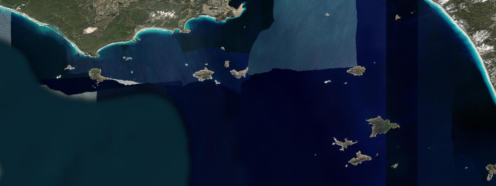
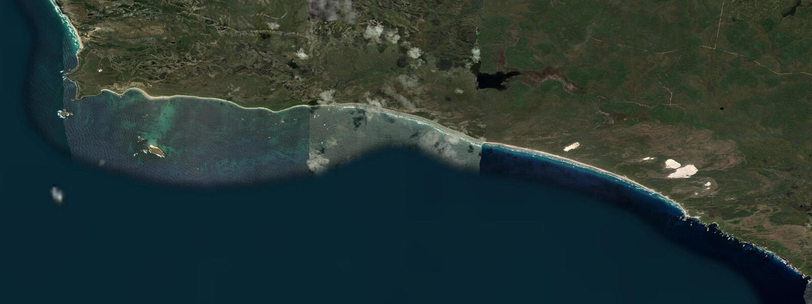
Esperance is on the south coast of Western Australia, 720 kilometres east of Perth, at the edge of the Great Australian Bight where the Southern Ocean meets the limestone coast. The town sits inside a bay sheltered by the Recherche Archipelago — 105 islands scattered offshore — which damps Southern Ocean swell and gives the town access to unusually calm, clear water. Tidal range is small: mean spring range around 0.8 metres, neaps barely 0.3 m. The Southern Ocean character comes from swell, not from tide.
The beaches around Esperance consistently rank among the finest in Australia. Lucky Bay in Cape Le Grand National Park (56 km east) has the whitest sand measured in Australia and turquoise water clear to 10 metres depth visible from shore. Kangaroos regularly visit the beach to graze the scrub behind the dune — the photograph of a kangaroo on white sand in front of turquoise water is the image most associated with Esperance. Lucky Bay is accessible by 2WD on a sealed road to the park.
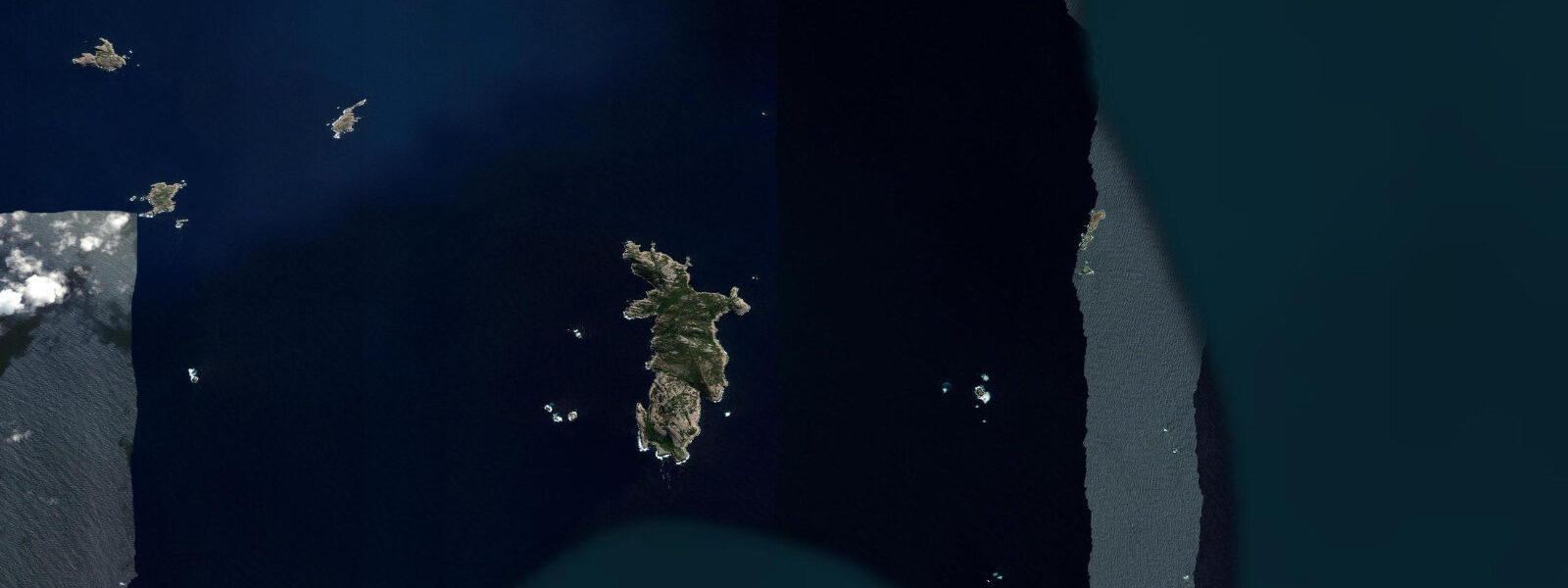
Hampshire Beach and Cape Le Grand Beach further east require 4WD access and have even fewer visitors. The Recherche Archipelago is accessible by boat — charter boats from Esperance visit the sea lion colonies on Middle Island and Woody Island. New Zealand fur seals and Australian sea lions use the archipelago as a breeding ground.
Diving off Esperance is in cold, clear water. Water temperature ranges 16 to 21°C; visibility is routinely 15 to 25 metres in the protected bays. The reef systems around the archipelago islands are rich in marine life — leafy sea dragons (endemic to the south Australian coast) are occasionally found in the seagrass beds near Woody Island.
The salmon fishing season at Esperance is the major annual fishing event. Australian salmon (Arripis truttaceus) run along the south coast from March through May, moving west. The schools can be massive — thousands of fish crashing through baitfish just outside the surf. Shore casting from the beaches during the run is one of the better shore fishing experiences in southern Australia.
Predictions on this page come from Open-Meteo Marine, a gridded global ocean model. Accuracy is typically within plus or minus 45 minutes on timing and 0.2 to 0.3 metres on height — model-derived, not from a local gauge. For authoritative Australian tide data, consult the Australian Bureau of Meteorology at bom.gov.au.
Tide questions about Esperance
Quick answers to the most common questions about tide times, range, and water access at Esperance.
What is the tidal range at Esperance?
Esperance has a very small tidal range — mean spring range around 0.8 metres, neap range barely 0.3 m. The astronomical tide has minimal effect on beach conditions and water access here. Southern Ocean swell size and wind are the dominant factors affecting beach conditions; the Recherche Archipelago damps direct swell exposure significantly for the town beaches.
Are there kangaroos at Lucky Bay?
Yes — eastern grey kangaroos regularly visit Lucky Bay beach in Cape Le Grand National Park (56 km east of Esperance). They graze the sparse vegetation behind the dunes and are often seen on the beach itself, particularly in the morning and late afternoon. They are wild animals — don't approach them or attempt to feed them. The beach is accessible on a sealed road; a Cape Le Grand National Park day-use fee applies. Lucky Bay is consistently rated among the top 5 beaches in Australia.
Can I see sea lions and fur seals near Esperance?
Australian sea lions and New Zealand fur seals breed in the Recherche Archipelago. Charter boat tours from Esperance harbour visit Middle Island and Woody Island for seal viewing. The sea lions are non-migratory (they stay in the area year-round); fur seals are also resident. Woody Island has a camp site accessible by water taxi; day trips are available. The sea lions are curious and will approach snorkellers at some sites.
When does the salmon run at Esperance?
Australian salmon run along the south coast westward from March through May each year. Esperance is one of the better locations on this migration route; the schools can number hundreds of thousands of fish and are often visible from the beach as surface disturbance or a dark mass in the water. Shore casting with metal lures from the beaches in Cape Le Grand National Park is the classic approach. A Western Australia recreational fishing licence is required. The run timing varies by year — check the WA Department of Primary Industries and Regional Development (DPIRD) for current reports.
Is diving at Esperance good?
Esperance diving is for cold-water divers comfortable in 16 to 21°C water. Visibility is outstanding (15 to 25 m in protected bays). The reef systems around the Recherche Archipelago have genuinely excellent marine life — including the chance of encountering leafy sea dragons (Phycodurus eques) in the seagrass beds, one of the most charismatic endemic species in southern Australia. A 5mm or 7mm wetsuit is appropriate year-round. Local dive operator Esperance Diving and Fishing runs boat dives to the archipelago.
8-day tide table — Esperance
Heights relative to MSL. Predictions: Open-Meteo Marine (MeteoFrance SMOC, 0.08° grid) — heights relative to MSL (not chart datum / LAT). Model-derived.
| Day | Type | Time | Height |
|---|---|---|---|
| Fri 19 Jun | Low | 10:00 | 0.1m |
| High | 14:50 | 0.4m | |
| Sat 20 Jun | — | ||
| Sun 21 Jun | — | ||
| Mon 22 Jun | — | ||
| Tue 23 Jun | Low | 21:00 | -0.1m |
| Wed 24 Jun | — | ||
| Thu 25 Jun | — | ||
| Fri 26 Jun | High | 09:00 | 0.5m |