Melbourne tide times
Melbourne tide forecast — heights relative to MSL.
Today's tide times for Melbourne
Tide times at Melbourne on Friday, 31 July 2026: first low tide at 10:00, first high tide at 13:47, second low tide at 19:50, second high tide at 23:15. Sunrise 07:21, sunset 17:31.
Tide chart for Melbourne
24-hour cosine-interpolated curve around the present moment. Heights relative to MSL. Predictions: Predictions: Open-Meteo Marine (MeteoFrance SMOC, 0.08° grid).
Sun, moon and conditions on Fri 31 Jul
Snapshot at build time — refreshes daily. Sea state from Open-Meteo Marine.
Highs and lows next 7 days
Every predicted high and low for the next week, with the daily tidal coefficient (0–120; higher = bigger swing, > 95 means stronger currents).
Other spots nearby
The three closest curated TideTurtle locations to Melbourne, measured by great-circle distance.
Today's solunar windows
Solunar tradition: major periods are the ≈3h windows around moon transit and opposition; minor are ≈2h around moonrise and moonset. Pair with the local tide stage and wind for the best read.
Cycle dates near Melbourne
Next spring tide on Thu 06 Aug (range 1.1m). Next neap on Sun 02 Aug.
Spring tides cluster around new and full moons (biggest swings). Neap tides land on quarter moons (smallest swings). See the spring tide and neap tide glossary entries for the why.
About tides at Melbourne
A short guide to the coastline at Melbourne — geography, sea state, and what the tide is actually doing under your feet.
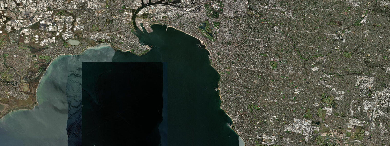
Melbourne sits at the head of Port Phillip Bay, one of the largest enclosed bays in Australia, and the tidal regime inside the bay is shaped almost entirely by its geography. Port Phillip covers 1,930 square kilometres and has a single narrow entrance at Port Phillip Heads — a gap of roughly 3 kilometres between Point Nepean on the Mornington Peninsula and Point Lonsdale on the Bellarine Peninsula. That entrance controls everything.
9 metres. 3 metres. In the inner city, the vertical tide at Williamstown or the Yarra River mouth changes the water level by less than a metre even at the largest springs.
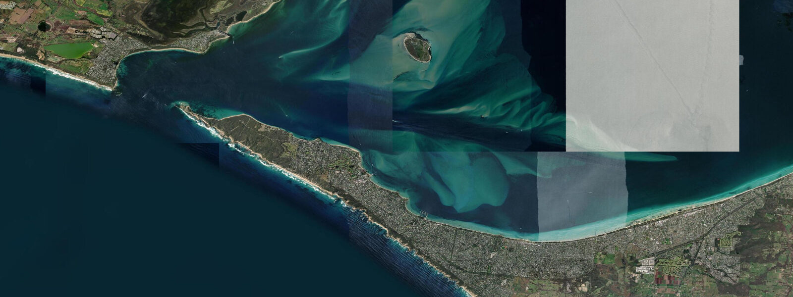
But all that tidal exchange — the volume of water filling and emptying a 1,930-square-kilometre bay twice a day — is forced through a 3-kilometre gap, and the result at the Heads is extreme. The Rip, as the locals call the tidal race at Port Phillip Heads, generates currents that peak around 8 knots on large spring tides. The standing waves and eddies in the race are visible from the shore at Point Lonsdale and Point Nepean; the chop builds quickly when the sea breeze or a swell from Bass Strait opposes the tidal stream.
Australian maritime law requires all commercial vessels entering or leaving Melbourne to take on a licensed pilot; the pilots board from a station at Queenscliff and work the vessel through the Heads on the appropriate tidal window. Recreational skippers are strongly advised to transit near slack water — the difference between a transit in 1 knot of fair current and one in 6 knots of opposing stream is the difference between a straightforward passage and a vessel-control emergency. Inside the bay, the picture changes completely.
5 metres. 7-metre rise and fall that exposes a limited band of rock or sand between tides. The bay's seagrass meadows, which extend across large areas of the shallow northern bay, provide nursery habitat for King George whiting and snapper; anglers working the bayside flats time their sessions more around wind direction and bait movement than tidal height, though the few hours either side of the tide turn tend to produce better results.
The Yarra River, which enters Port Phillip at the city's working port, carries the tidal signal inland. The tidal reach extends to approximately Princes Bridge in the CBD — a few kilometres from the bay mouth — where the river surface rises and falls with the bay tide, even if the amplitude is modest. The Bolte Bridge road crossing and the Webb Bridge pedestrian span over the Docklands waterways both sit within the tidal reach.
Kayakers use the inner Yarra, the Maribyrnong River further west, and the Docklands channels as sheltered urban paddling. The boat traffic — ferries, water taxis, commercial shipping transiting to the Appleton Dock and Swanson Dock terminals — requires attention in the river section. Bass Strait, to the south of the Heads, is a different environment.
The strait sits between Victoria and Tasmania and channels the Southern Ocean swells that have crossed the open Roaring Forties from the south. 5 metres), but the swell and wind exposure make it a fundamentally different coastal environment from the sheltered bay beaches. The Bureau of Meteorology operates the Australian national tide gauge network.
The Port Phillip Heads (Outer) and Williamstown gauges are the primary references for Melbourne. The predictions on this page come from Open-Meteo Marine, a gridded global ocean model. 3 metres on height — model-derived, not a local gauge.
3-metre height uncertainty is a significant fraction of the total range, so treat the predictions as indicative planning reference. The Bureau of Meteorology tide predictions for Melbourne are the authoritative source for navigation and precise activity planning.
Tide questions about Melbourne
Quick answers to the most common questions about tide times, range, and water access at Melbourne.
When is the next high tide at Melbourne?
The tide table at the top of this page shows predicted high tide times in AEST (UTC+10) or AEDT (UTC+11) during daylight saving, which runs from the first Sunday in October to the first Sunday in April in Victoria. Port Phillip Bay has two high tides and two low tides per day, with the cycle shifting by roughly 50 minutes daily. Predictions come from Open-Meteo Marine, accurate to within plus or minus 45 minutes on timing — model-derived, not from the Melbourne gauge. For authoritative data, the Bureau of Meteorology publishes official tide predictions for Williamstown and Port Phillip Heads.
What is the tidal range at Melbourne and Port Phillip Bay?
Inside Port Phillip Bay — including the beaches at St Kilda, Williamstown, and the CBD waterfront — the mean spring range is approximately 0.7 to 0.9 metres, making Melbourne one of the most microtidal major cities in Australia. Neap range is around 0.3 metres. The small range is caused by the choking effect of Port Phillip Heads: the bay is large but its only tidal connection to the ocean is a 3-kilometre gap that limits how much ocean tidal energy can enter. Outside the Heads in Bass Strait, the range is slightly larger — around 1.0 to 1.5 metres at mean springs — but wave exposure rather than tide is the dominant force on that exposed coast.
Where does the Melbourne tide data come from, and how accurate is it?
Predictions on this page are from Open-Meteo Marine, a free gridded global ocean model — model-derived, not from a physical gauge. Accuracy is typically within plus or minus 45 minutes on timing and 0.2 to 0.3 metres on height. For Port Phillip Bay's microtidal range of 0.7 to 0.9 metres, a 0.3-metre height uncertainty is a substantial fraction of the total range — treat these predictions as useful planning context rather than precision data. For navigation, commercial operations, or precise activity planning, use the Bureau of Meteorology official tide predictions for Williamstown or Port Phillip Heads, which are based on harmonic analysis of the gauge record.
What is The Rip at Port Phillip Heads, and is it dangerous?
The Rip is the tidal race at Port Phillip Heads, the narrow entrance gap between Point Nepean (Mornington Peninsula) and Point Lonsdale (Bellarine Peninsula). All tidal exchange for the 1,930-square-kilometre bay is forced through this 3-kilometre gap on every tide cycle, generating currents that peak around 8 knots at spring tides. Australian maritime law requires licensed pilots for all commercial vessels transiting the Heads. Recreational mariners should plan transits near slack water — roughly 30 minutes either side of low or high water — and check current conditions beforehand. When a Bass Strait swell or sea breeze opposes the tidal stream, the standing waves and breaking seas in the race can exceed 3 metres. The Rip has a long history of vessel losses and is treated with serious respect by experienced local mariners.
What water activities work well around Melbourne given the microtidal range?
The small tidal range inside Port Phillip Bay makes beach conditions stable and predictable — little change in water depth or beach width between tides, which is convenient for swimming, SUP, and kayaking at bayside beaches like St Kilda, Williamstown, Brighton, and Altona. Fishing the bay flats for King George whiting, snapper, and flathead is popular; the few hours around the tide turn often produce better results than peak flood or ebb. The Yarra River and Docklands channels are sheltered urban kayaking routes, with tidal current in the river section worth checking before paddling upstream. Avoid The Rip at Port Phillip Heads for any recreational water activity — the currents and sea state there are beyond recreational conditions except at or near slack water and even then require experience and sound local knowledge.
8-day tide table — Melbourne
Heights relative to MSL. Predictions: Open-Meteo Marine (MeteoFrance SMOC, 0.08° grid) — heights relative to MSL (not chart datum / LAT). Model-derived.
| Day | Type | Time | Height |
|---|---|---|---|
| Fri 31 Jul | Low | 10:00 | -0.0m |
| High | 13:47 | 0.2m | |
| Low | 19:50 | -0.2m | |
| High | 23:15 | 0.0m | |
| Sat 01 Aug | Low | 06:18 | -0.4m |
| High | 14:10 | 0.2m | |
| Sun 02 Aug | Low | 06:50 | -0.4m |
| High | 14:15 | 0.3m | |
| Low | 20:55 | -0.2m | |
| Mon 03 Aug | High | 02:10 | 0.2m |
| Low | 08:00 | -0.3m | |
| High | 14:22 | 0.5m | |
| Low | 21:15 | -0.2m | |
| Tue 04 Aug | High | 02:23 | 0.3m |
| Low | 08:10 | -0.2m | |
| High | 14:43 | 0.6m | |
| Low | 21:16 | -0.4m | |
| Wed 05 Aug | High | 03:13 | 0.4m |
| Low | 08:57 | -0.3m | |
| High | 15:20 | 0.5m | |
| Low | 21:50 | -0.5m | |
| Thu 06 Aug | High | 04:12 | 0.4m |
| Low | 09:42 | -0.3m | |
| High | 15:55 | 0.5m | |
| Low | 22:22 | -0.6m | |
| Fri 07 Aug | High | 04:48 | 0.3m |
| Low | 09:00 | -0.2m |