Strahan tide times
Strahan tide forecast — heights relative to MSL.
Today's tide times for Strahan
Tide times at Strahan on Friday, 19 June 2026: first low tide at 10:00, first high tide at 14:47. Sunrise 07:47, sunset 16:52.
Tide chart for Strahan
24-hour cosine-interpolated curve around the present moment. Heights relative to MSL. Predictions: Predictions: Open-Meteo Marine (MeteoFrance SMOC, 0.08° grid).
Sun, moon and conditions on Fri 19 Jun
Snapshot at build time — refreshes daily. Sea state from Open-Meteo Marine.
Highs and lows next 7 days
Every predicted high and low for the next week, with the daily tidal coefficient (0–120; higher = bigger swing, > 95 means stronger currents).
Other spots nearby
The three closest curated TideTurtle locations to Strahan, measured by great-circle distance.
Today's solunar windows
Solunar tradition: major periods are the ≈3h windows around moon transit and opposition; minor are ≈2h around moonrise and moonset. Pair with the local tide stage and wind for the best read.
About tides at Strahan
A short guide to the coastline at Strahan — geography, sea state, and what the tide is actually doing under your feet.
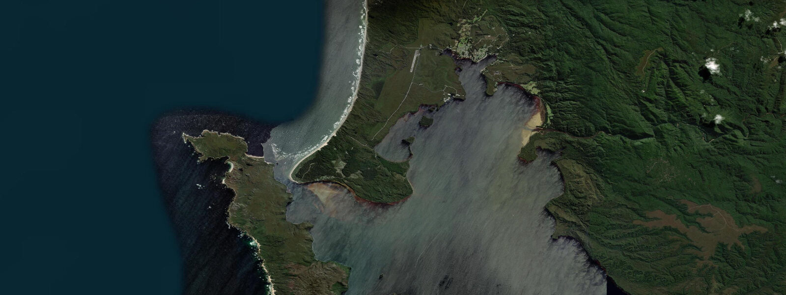
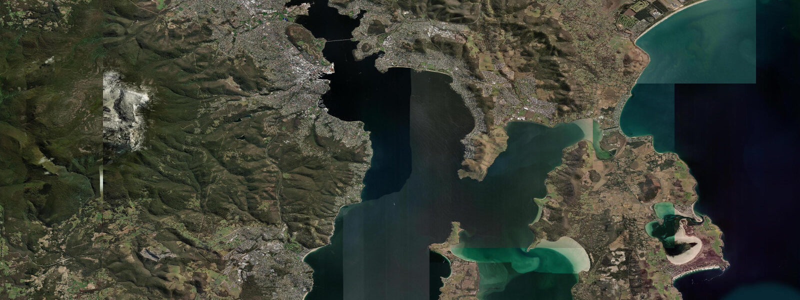
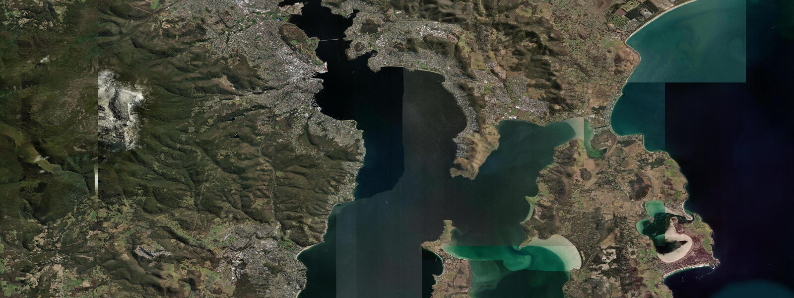
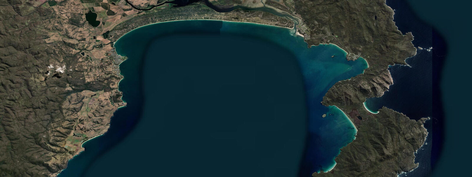
Strahan is on Macquarie Harbour on the rugged west coast of Tasmania — one of the most isolated and weather-beaten coastlines in Australia. The harbour is the second-largest natural harbour in Australia by water surface area (after Sydney), connected to the Southern Ocean by Hell's Gates, a channel only 60 metres wide at its narrowest. Tidal influence in the harbour is moderate: mean spring range around 1.0 metre, with the entrance channel at Hell's Gates concentrating the tidal flow into a significant current as the large harbour volume fills and empties.
The Gordon River flows into the southern arm of Macquarie Harbour from the Gordon River wilderness — now part of the Tasmanian Wilderness World Heritage Area. River cruises from Strahan on purpose-built flat-bottomed boats travel 36 km up the Gordon River, through dark tannin-stained water below ancient Huon pines (some individual trees exceed 10,000 years of age) and temperate rainforest. This is one of the last river wilderness experiences accessible by day trip in Australia.
Ocean Beach on the outer west coast is immediately north of Strahan, accessible by an unsealed road through button grass moorland. The beach faces directly west into the Southern Ocean — the longest fetch of any ocean on earth — and receives long-period swell year-round. The swell can be extraordinary in size: 5 to 8 metre waves during winter storms are not unusual. Swimming and surfing are extremely dangerous due to the unrelenting swell, cold water (12 to 16°C), no infrastructure, and no rescue capability. Ocean Beach is visited for the experience, not for swimming.
Sea fishing in Macquarie Harbour targets the endemic Macquarie Harbour trout (a genetically distinct sea trout population), Australian salmon, and bream. The harbour's extreme tannin content (caused by vegetation runoff) and low salinity support a unique fishery. The salmon aquaculture industry operates extensively in the harbour — wild fishing is managed separately.
Strahan township has heritage significance as the port for the former Queenstown copper mine (connected by the historic Rack Railway, now operating as the West Coast Wilderness Railway from Queenstown to Strahan). The town and its isolation are an experience in themselves.
Predictions on this page come from Open-Meteo Marine, a gridded global ocean model. Accuracy is typically within plus or minus 45 minutes on timing and 0.2 to 0.3 metres on height — model-derived, not from a local gauge. For authoritative Australian tide data, consult the Australian Bureau of Meteorology at bom.gov.au.
Tide questions about Strahan
Quick answers to the most common questions about tide times, range, and water access at Strahan.
What is the Gordon River cruise?
The Gordon River Cruise departs from Strahan waterfront and travels 36 km up the Gordon River through the Tasmanian Wilderness World Heritage Area. Cruises take 5 to 7 hours depending on the operator and include a stop at Heritage Landing to walk among ancient Huon pines. The river is tannin-dark and still; the surrounding temperate rainforest is largely untouched. World Heritage Cruises and Gordon River Cruises both operate from Strahan. Book well ahead in summer (December to February).
Is Ocean Beach near Strahan safe to swim?
No — Ocean Beach is considered one of the most dangerous beaches in Australia. It faces due west into the Southern Ocean with unlimited swell fetch, receives 5 to 8 metre swells regularly in winter, and has no lifeguard presence, no rescue infrastructure, and cold water (12 to 16°C year-round). The beach is a walking and photography destination, not a swimming beach. Stay well back from the waterline — rogue waves and sneaker sets can travel much further up the beach than the previous set.
What makes Huon pines special?
Huon pine (Lagarostrobos franklinii) is endemic to western Tasmania and is among the oldest living trees on earth — individual trees are documented at over 10,000 years old, and clonal groves may be 30,000 years old. The wood is naturally water-resistant due to methyl eugenol oil content, historically prized for boat-building. Commercial logging is now prohibited; the trees are protected. The Gordon River valley contains some of the oldest accessible stands; Heritage Landing on the Gordon River cruise gives direct access to mature specimens.
How do I get to Strahan?
Strahan is 3 hours west of Hobart on the Lyell Highway via Queenstown. There is no passenger rail service and no regular bus from Hobart — a hire car is essentially required for visiting independently. The West Coast Wilderness Railway (rack railway) connects Queenstown to Strahan and is itself a heritage attraction; the journey takes 3.5 hours and includes the famous Abt rack system climbing the Rinadeena saddle. Fly-drive packages from Hobart are offered by some tour operators.
What is Hell's Gates?
Hell's Gates is the narrow entrance channel connecting Macquarie Harbour to the Southern Ocean — only 60 metres wide at the narrowest point, with shifting sandbars and strong tidal current (the large harbour volume filling and emptying through a bottleneck). Historic vessels were lost here; the channel's name reflects its reputation. Modern fishing boats navigate it carefully on the flood tide. The Gordon River cruises pass through Hell's Gates on departure and return — the transition from open swell to sheltered harbour water is dramatic.
8-day tide table — Strahan
Heights relative to MSL. Predictions: Open-Meteo Marine (MeteoFrance SMOC, 0.08° grid) — heights relative to MSL (not chart datum / LAT). Model-derived.
| Day | Type | Time | Height |
|---|---|---|---|
| Fri 19 Jun | Low | 10:00 | 0.1m |
| High | 14:47 | 0.7m | |
| Sat 20 Jun | Low | 07:56 | -0.4m |
| High | 15:10 | 0.3m | |
| Sun 21 Jun | Low | 08:18 | -0.3m |
| Mon 22 Jun | High | 15:54 | 0.4m |
| Low | 22:54 | -0.1m | |
| Tue 23 Jun | High | 04:15 | 0.1m |
| Low | 09:50 | -0.1m | |
| High | 15:45 | 0.1m | |
| Wed 24 Jun | — | ||
| Thu 25 Jun | Low | 00:10 | -0.4m |
| Fri 26 Jun | High | 09:00 | 0.1m |