Hobart tide times
Hobart tide forecast — heights relative to MSL.
Today's tide times for Hobart
Tide times at Hobart on Friday, 19 June 2026: first low tide at 10:00, first high tide at 13:04, second low tide at 17:18, second high tide at 22:54. Sunrise 07:41, sunset 16:42.
Tide chart for Hobart
24-hour cosine-interpolated curve around the present moment. Heights relative to MSL. Predictions: Predictions: Open-Meteo Marine (MeteoFrance SMOC, 0.08° grid).
Sun, moon and conditions on Fri 19 Jun
Snapshot at build time — refreshes daily. Sea state from Open-Meteo Marine.
Highs and lows next 7 days
Every predicted high and low for the next week, with the daily tidal coefficient (0–120; higher = bigger swing, > 95 means stronger currents).
Other spots nearby
The three closest curated TideTurtle locations to Hobart, measured by great-circle distance.
Today's solunar windows
Solunar tradition: major periods are the ≈3h windows around moon transit and opposition; minor are ≈2h around moonrise and moonset. Pair with the local tide stage and wind for the best read.
Cycle dates near Hobart
Last spring tide on Fri 19 Jun (range 1.2m). Next spring tide on Thu 25 Jun (range 0.8m). Next neap on Mon 22 Jun.
Spring tides cluster around new and full moons (biggest swings). Neap tides land on quarter moons (smallest swings). See the spring tide and neap tide glossary entries for the why.
About tides at Hobart
A short guide to the coastline at Hobart — geography, sea state, and what the tide is actually doing under your feet.
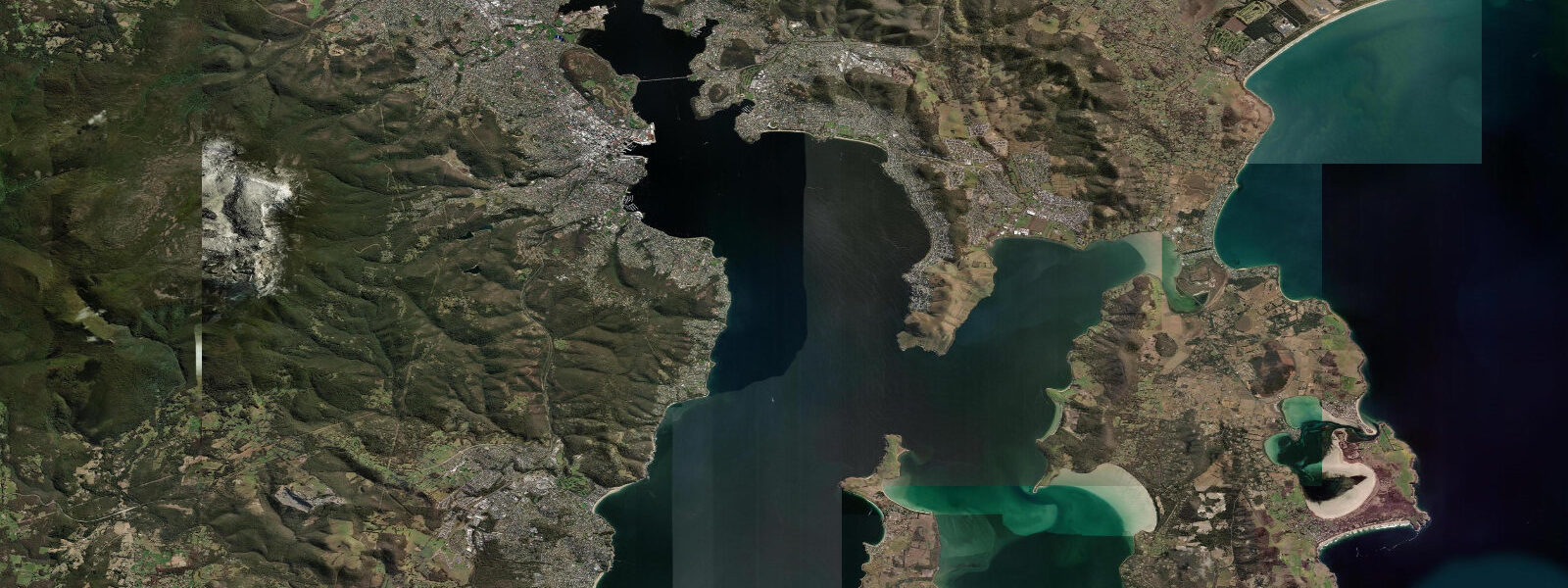
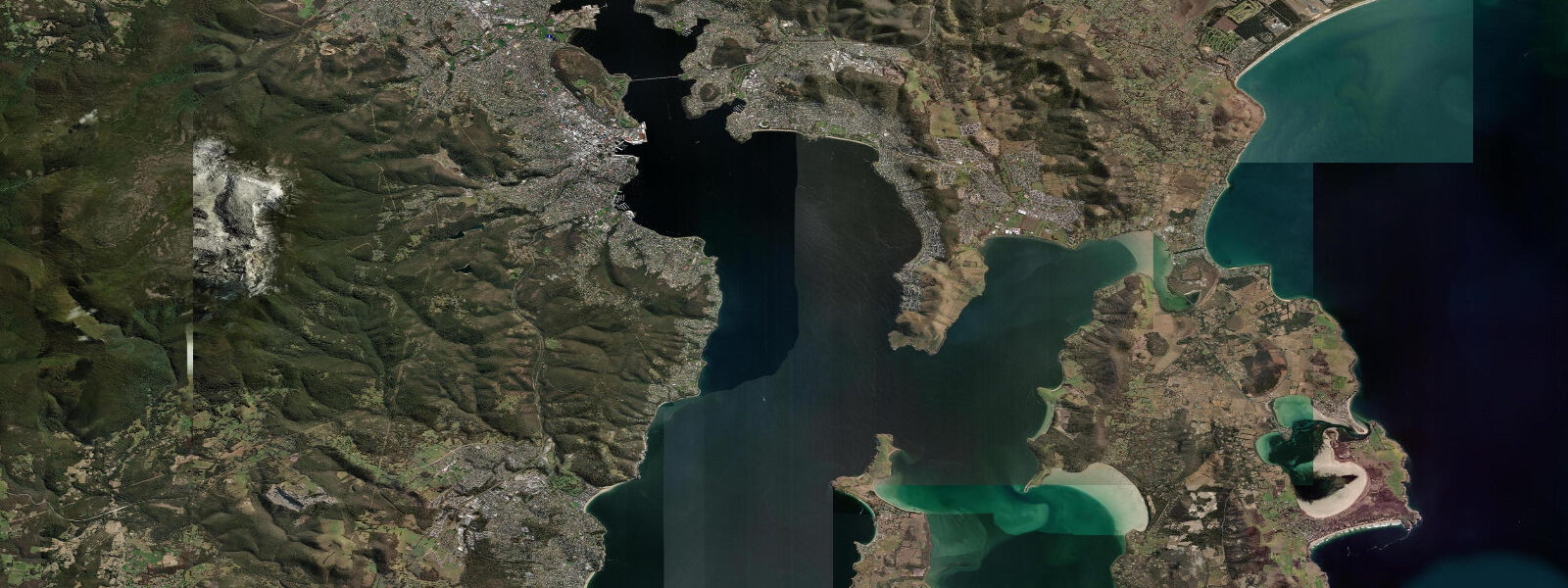
Hobart sits at the foot of kunanyi (Mount Wellington, 1271 m) at the head of the Derwent Estuary on southern Tasmania. The city has a working waterfront at Sullivan's Cove, where the Salamanca Market runs on Saturday mornings alongside the Georgian sandstone warehouses. Tidal pattern in the Derwent is semidiurnal with a mean spring range of about 1.2 metres — modest, but enough to expose the mudflat margins of the estuary and affect small-boat navigation in the upper reaches.
The Sydney to Hobart Yacht Race arrives here each Boxing Day (26 December), ending at Constitution Dock in Sullivan's Cove after the 1170-kilometre passage from Sydney Harbour. This is one of the world's most demanding offshore races; the Bass Strait crossing produces brutal conditions in many years. The finish is a major public event — fleets of spectator boats fill the Derwent and crowds line the waterfront for days as boats continue to arrive.
Abalone diving is a significant activity around the southern Tasmanian coast. The cold, clear Southern Ocean water supports dense populations of blacklip and greenlip abalone. Recreational abalone fishing has a strict bag limit (typically 2 per person per day) and size limit; the commercial fishery is one of the most valuable per-kilogram fisheries in Australia. Shore diving from the Tasman Peninsula (90 minutes from Hobart) puts divers in water with excellent visibility (15 to 25 metres), giant crayfish (Tasmanian rock lobster), and large fish populations.
The Tasman Peninsula to the south of Hobart combines the highest sea cliffs in the Southern Hemisphere (Cape Raoul and Tasman Arch at 300+ metres) with historic Port Arthur convict site. The Three Capes Track, a 4-day walk managed by the Tasmania Parks Service, accesses the cape headlands via a dedicated hut system. All three capes involve cliff-top walking above the Southern Ocean at elevations of 200 to 300 metres.
For kayakers and small-boat sailors, the Derwent Estuary provides protected water with scenic surroundings. The estuary narrows above New Norfolk (40 km inland) and the tidal limit is well above the city. MAST (Marine and Safety Tasmania) manages waterway use.
Predictions on this page come from Open-Meteo Marine, a gridded global ocean model. Accuracy is typically within plus or minus 45 minutes on timing and 0.2 to 0.3 metres on height — model-derived, not from a local gauge. For authoritative Australian tide data, consult the Australian Bureau of Meteorology at bom.gov.au.
Tide questions about Hobart
Quick answers to the most common questions about tide times, range, and water access at Hobart.
What is the Sydney to Hobart Yacht Race?
The Rolex Sydney Hobart Yacht Race starts from Sydney Harbour on 26 December each year and finishes at Constitution Dock in Hobart after a 1170 km (628 nautical mile) passage across the Tasman Sea and Bass Strait. It's one of the world's three classic ocean races (alongside the Fastnet and Newport–Bermuda). Arriving yachts dock at Constitution Dock in Sullivan's Cove; the public can watch from the waterfront and board boats when moored. Fleet arrivals continue for 5 to 7 days after the start.
Can I dive for abalone near Hobart?
Recreational abalone diving is legal in Tasmania with a recreational fishing licence (free, from Service Tasmania). The current daily bag limit for recreational abalone is 2 per person (check current regulations at ifs.tas.gov.au — limits change). Blacklip abalone are found on rocky reef from 0 to 20 metres depth. The Tasman Peninsula reefs south of Hobart (Eaglehawk Neck, Fortescue Bay) are productive diving areas with good abalone populations. The commercial harvest of abalone is strictly controlled and declining.
What is the Three Capes Track?
The Three Capes Track is a 4-day, 46 km hut-to-hut walk on the Tasman Peninsula, managed by Tasmania Parks. It visits Cape Hauy, Cape Pillar, and Cape Raoul — three headlands with sea cliffs among the highest in the Southern Hemisphere (up to 300 m). The track has purpose-built overnight huts with solar power; booking is required and the track is limited to 48 walkers per night. The walk requires moderate fitness; total elevation gain is about 3200 m. Book at parks.tas.gov.au.
What is the Salamanca Market?
Salamanca Market runs every Saturday from 8:30 a.m. to 3 p.m. along Salamanca Place, below the Georgian sandstone warehouses built by convict labour in the 1830s. It has over 300 stalls selling Tasmanian food, crafts, art, and plants. It's one of the most visited outdoor markets in Australia. The market and the adjacent Salamanca arts precinct are the social centre of central Hobart on Saturday mornings. Sullivan's Cove and the waterfront are a 2-minute walk south.
What marine wildlife can I see near Hobart?
Australian fur seals haul out on several rocky islands in the Derwent Estuary and around Bruny Island (1 hour south of Hobart). Bruny Island Cruises runs wildlife boat tours to the seal colonies and the sea caves of the Labillardiere Peninsula. Common dolphins feed in Storm Bay south of Hobart and are frequently seen from the Bruny Island ferry crossing. Southern right whales occasionally enter the Derwent between June and October. Short-finned pilot whales strand periodically on the Derwent beaches — if you see one, call the Parks and Wildlife Service.
8-day tide table — Hobart
Heights relative to MSL. Predictions: Open-Meteo Marine (MeteoFrance SMOC, 0.08° grid) — heights relative to MSL (not chart datum / LAT). Model-derived.
| Day | Type | Time | Height |
|---|---|---|---|
| Fri 19 Jun | Low | 10:00 | 0.3m |
| High | 13:04 | 0.6m | |
| Low | 17:18 | 0.4m | |
| High | 22:54 | 0.8m | |
| Sat 20 Jun | Low | 06:45 | -0.4m |
| Sun 21 Jun | High | 00:00 | 0.3m |
| Low | 07:16 | -0.5m | |
| High | 14:07 | 0.3m | |
| Mon 22 Jun | Low | 07:40 | -0.4m |
| High | 14:50 | 0.4m | |
| Low | 21:15 | -0.0m | |
| Tue 23 Jun | High | 02:18 | 0.2m |
| Low | 08:18 | -0.2m | |
| High | 14:52 | 0.5m | |
| Low | 22:20 | -0.3m | |
| Wed 24 Jun | High | 15:43 | 0.3m |
| Low | 23:10 | -0.5m | |
| Thu 25 Jun | High | 05:00 | -0.1m |
| Low | 09:10 | -0.3m | |
| High | 16:10 | 0.3m | |
| Low | 23:42 | -0.5m | |
| Fri 26 Jun | High | 06:10 | -0.1m |