Port Lincoln, South Australia tide times
Port Lincoln, South Australia tide forecast — heights relative to MSL.
Today's tide times for Port Lincoln, South Australia
Tide times at Port Lincoln, South Australia on Friday, 19 June 2026: first low tide at 10:00, first high tide at 15:55, second low tide at 23:16. Sunrise 08:03, sunset 17:52.
Tide chart for Port Lincoln, South Australia
24-hour cosine-interpolated curve around the present moment. Heights relative to MSL. Predictions: Predictions: Open-Meteo Marine (MeteoFrance SMOC, 0.08° grid).
Sun, moon and conditions on Fri 19 Jun
Snapshot at build time — refreshes daily. Sea state from Open-Meteo Marine.
Highs and lows next 7 days
Every predicted high and low for the next week, with the daily tidal coefficient (0–120; higher = bigger swing, > 95 means stronger currents).
Other spots nearby
The three closest curated TideTurtle locations to Port Lincoln, South Australia, measured by great-circle distance.
Today's solunar windows
Solunar tradition: major periods are the ≈3h windows around moon transit and opposition; minor are ≈2h around moonrise and moonset. Pair with the local tide stage and wind for the best read.
Cycle dates near Port Lincoln, South Australia
Last spring tide on Fri 19 Jun (range 1.1m). Next neap on Tue 23 Jun.
Spring tides cluster around new and full moons (biggest swings). Neap tides land on quarter moons (smallest swings). See the spring tide and neap tide glossary entries for the why.
About tides at Port Lincoln, South Australia
A short guide to the coastline at Port Lincoln, South Australia — geography, sea state, and what the tide is actually doing under your feet.
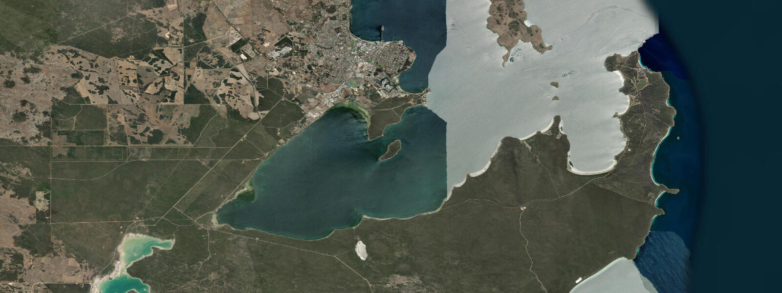
Port Lincoln is a port city on Boston Bay, at the southern tip of the Eyre Peninsula in South Australia. The Spencer Gulf and Boston Bay produce a semidiurnal tide with a mean spring range of 2.0–3.0 m — moderate on a global scale but significant for this relatively sheltered gulf system and among the larger ranges on Australia's southern coast. At low spring water, the inner sections of Boston Bay expose 100–200 m of tidal flat in the shallowest areas near the head of the bay. The tide tables here are worth reading carefully: spring low waters expose sections of the bay floor that look navigable but carry submerged rock. Returning to the boat ramp on a falling tide with a trailer boat can strand you if you miscalculate the window.
Port Lincoln holds a direct claim to being Australia's seafood capital by catch value. The southern bluefin tuna operation centred here is the largest of its kind in the world. The process begins in the Great Australian Bight, where wild-capture vessels use large purse seine nets to encircle schools of juvenile Thunnus maccoyii. The live fish are transferred from the net into large pontoon cages, which are then towed by slow-moving transport vessels at 1–2 knots to Port Lincoln — a journey of several days. The tuna are held in sea cages moored in Boston Bay, where they are fed for several months before harvest. The cage sites are selected and positioned in zones of adequate tidal current flow. Spencer Gulf and Boston Bay's tidal cycle drives circulation through the cage sites at 0.2–0.5 knots on an average tide, which is sufficient to flush waste, maintain dissolved oxygen levels, and keep the temperature gradients the tuna require. The cages are visible from the foreshore at Proper Bay, a few kilometres north of the town centre. Their positioning — in specific depth and current zones dictated by tidal hydrodynamics — is a direct operational dependency on the tide tables for this coast.
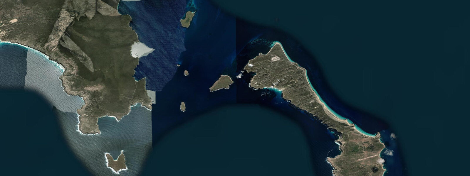
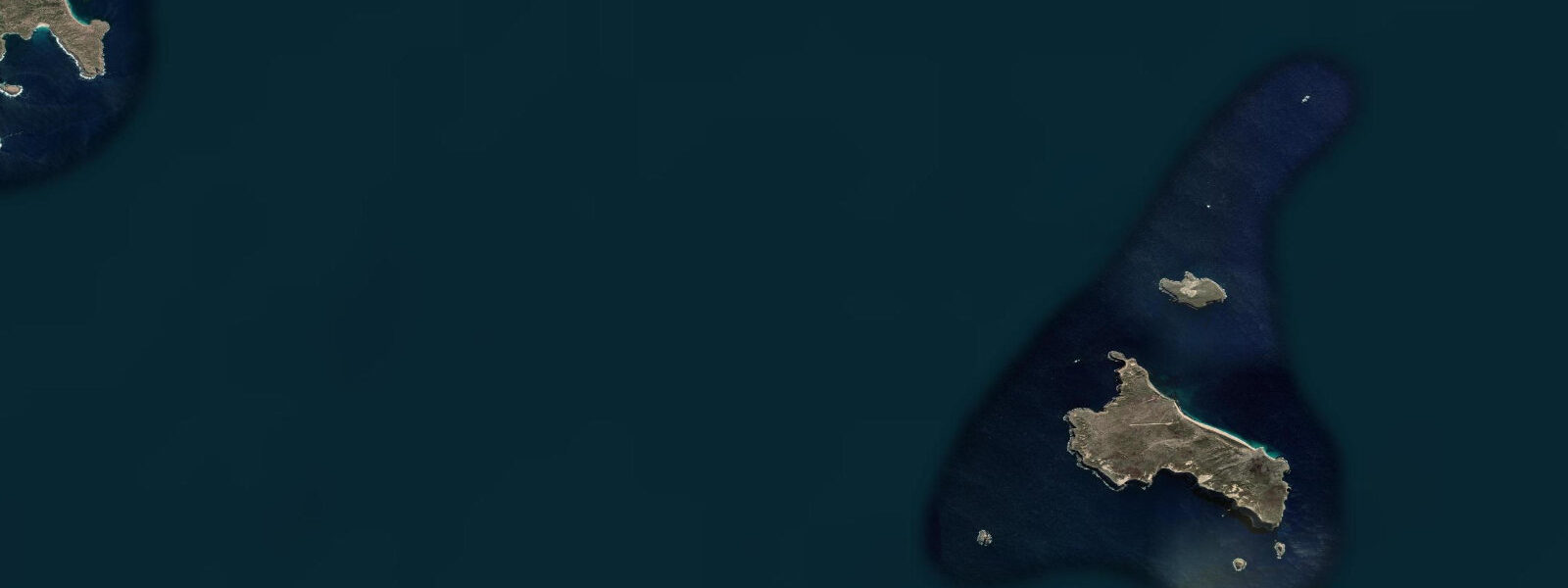
The other major draw of the Port Lincoln region is the Neptune Islands Group, located 14–60 km southwest in the Southern Ocean. The islands host the primary Australian aggregation of great white sharks — Carcharodon carcharias — making this one of the top three shark cage diving locations in the world by documented encounter rate. The aggregation is driven by the permanent Australian sea lion colony on the islands: Neophoca cinerea, one of the world's rarest pinnipeds, resident year-round on the rocks and beaches of the Neptune Islands. The sharks follow the sea lions. The cage diving operation runs from Port Lincoln Harbour in fast charter vessels, typically covering the 60 km to the outer Neptune Islands in under two hours. Dives are not tide-dependent in the same way as intertidal activities — the sharks are pelagic and present at all tidal states — but sea conditions at the islands are influenced by the interaction of swell with the shallow banks around the island group, which varies with tide height.
The Eyre Peninsula coastline north of Port Lincoln holds the Point Labatt mainland sea lion colony, 70 km north, where Australian sea lions haul out on accessible cliff-base platforms. This is one of only two mainland sea lion colonies in Australia. The drive north along the Eyre Peninsula coast also reaches Coffin Bay National Park, 50 km northwest of Port Lincoln, a protected area of coastal dunes, inlets, and intertidal oyster habitat. Coffin Bay oysters — Pacific oysters grown in the tidal inlets of the park and surrounding lease areas — are among Australia's most exported premium shellfish. The oyster lease areas sit in the tidal zone; harvest timing is coordinated with tidal exposure cycles that affect water temperature and condition.
Beach fishing along the Boston Bay foreshore targets King George whiting, snapper, and garfish from the beach and rocky headlands. King George whiting are among the most prized recreational table fish in South Australia. They feed actively during the flooding tide in 2–4 m of water over sandy ground with weed patches — the inner Boston Bay beaches on the rising tide from two hours before high water to high water is the standard productive window. Snapper tend to be taken from the rocky headlands at night on the mid-flood.
Tide data for Port Lincoln, South Australia comes from the Open-Meteo Marine API, a gridded model product. Timing accuracy is ±45 minutes, height accuracy ±0.3 m — usable for trip planning, not for navigation.
Tide questions about Port Lincoln, South Australia
Quick answers to the most common questions about tide times, range, and water access at Port Lincoln, South Australia.
What tidal range does Port Lincoln experience?
Port Lincoln and Boston Bay experience a semidiurnal tide — two high waters and two low waters per day — with a mean spring range of 2.0–3.0 m. This is driven by Spencer Gulf's tidal dynamics, which amplify the Southern Ocean tide as it propagates into the narrowing gulf. At spring low water, the inner shallow sections of Boston Bay expose 100–200 m of tidal flat. This range is significant for boat ramp users: the difference in water depth between spring high and spring low can leave a trailer boat stranded if the driver stays too long on the water and misjudges the time needed to retrieve before the ramp shallows out. Check the tide table before launching and set a firm retrieval time.
How does the tuna farming operation work at Port Lincoln?
The southern bluefin tuna (Thunnus maccoyii) farming cycle begins offshore in the Great Australian Bight, where purse seine vessels encircle schools of wild juvenile tuna. The live fish are transferred to pontoon cages and towed to Port Lincoln at 1–2 knots over several days. In Boston Bay the cages are positioned in areas of tidal current flow — typically 0.2–0.5 knots on an average tide — which maintains dissolved oxygen levels, flushes waste, and provides the water circulation the tuna require. The cages are visible from the foreshore near Proper Bay. Port Lincoln's tuna operation is the largest southern bluefin tuna farming system in the world by volume and is a direct employer for a large portion of the town's working population.
What is the Neptune Islands and can I dive there?
The Neptune Islands Group sits 14–60 km southwest of Port Lincoln in the Southern Ocean and is the premier great white shark cage diving site in Australia. The island group supports a permanent Australian sea lion (Neophoca cinerea) colony, and great white sharks aggregate here to hunt the sea lions year-round. Several licensed operators run overnight and day trips from Port Lincoln Harbour in fast vessels — the outer Neptune Islands are reached in under two hours. Cage diving is conducted at anchor at the island sites, with divers in surface or submersible cages. The operation is legal, regulated by South Australia's Department for Environment and Water, and does not require any dive qualification — cages are surface-level, and snorkelling-standard breath-hold is sufficient. Swell conditions at the islands vary seasonally.
When is the best tide for beach fishing near Port Lincoln?
The inner Boston Bay beaches fish best for King George whiting from two hours before high water to high water, when the flooding tide pushes fish into 2–4 m of water over sandy ground with weed patches. King George whiting are one of South Australia's most prized recreational table fish and feed actively in this tidal window. Snapper on the rocky headlands around Boston Bay tend to respond best to the mid-flood at night — the combination of diminishing light and maximum water depth over the rocks concentrates feeding activity. Garfish can be taken throughout the flood using small hooks and dough bait in the calmer sections of the bay on a light breeze day.
What else is worth visiting near Port Lincoln on the tide?
Coffin Bay National Park, 50 km northwest, holds extensive tidal inlets where the world-famous Coffin Bay oysters are grown in leased areas exposed and covered by the tidal cycle. Visiting the park at low tide exposes the sandflat environments and bird activity on the intertidal areas. Point Labatt, 70 km north, is one of only two mainland Australian sea lion haul-out sites — the animals are on the rocks at all tidal states, but low tide tends to expose more accessible viewing platforms at the base of the viewing cliffs. The drive north along the Eyre Peninsula coast provides a continuous series of beach access points, most of which are empty and fish well from the rising tide on sandy bottom sections in calm southern swell conditions.
8-day tide table — Port Lincoln, South Australia
Heights relative to MSL. Predictions: Open-Meteo Marine (MeteoFrance SMOC, 0.08° grid) — heights relative to MSL (not chart datum / LAT). Model-derived.
| Day | Type | Time | Height |
|---|---|---|---|
| Fri 19 Jun | Low | 10:00 | 0.0m |
| High | 15:55 | 0.8m | |
| Low | 23:16 | -0.1m | |
| Sat 20 Jun | High | 04:18 | -0.0m |
| Low | 09:15 | -0.3m | |
| High | 16:45 | 0.4m | |
| Sun 21 Jun | Low | 09:45 | -0.3m |
| High | 16:50 | 0.3m | |
| Low | 23:50 | -0.3m | |
| Mon 22 Jun | High | 06:18 | 0.0m |
| Tue 23 Jun | Low | 13:10 | 0.0m |
| Wed 24 Jun | High | 08:45 | 0.2m |
| Thu 25 Jun | Low | 02:00 | -0.4m |
| High | 10:18 | 0.3m | |
| Low | 20:10 | -0.2m | |
| Fri 26 Jun | Low | 03:10 | -0.3m |
| High | 09:00 | 0.3m |