Gold Coast, QLD tide times
Gold Coast, QLD tide forecast — heights relative to MSL.
Today's tide times for Gold Coast, QLD
Tide times at Gold Coast, QLD on Sunday, 26 July 2026: first low tide at 10:48, first high tide at 17:50. Sunrise 06:32, sunset 17:13.
Tide chart for Gold Coast, QLD
24-hour cosine-interpolated curve around the present moment. Heights relative to MSL. Predictions: Predictions: Open-Meteo Marine (MeteoFrance SMOC, 0.08° grid).
Sun, moon and conditions on Sun 26 Jul
Snapshot at build time — refreshes daily. Sea state from Open-Meteo Marine.
Highs and lows next 7 days
Every predicted high and low for the next week, with the daily tidal coefficient (0–120; higher = bigger swing, > 95 means stronger currents).
Other spots nearby
The three closest curated TideTurtle locations to Gold Coast, QLD, measured by great-circle distance.

Today's solunar windows
Solunar tradition: major periods are the ≈3h windows around moon transit and opposition; minor are ≈2h around moonrise and moonset. Pair with the local tide stage and wind for the best read.
Cycle dates near Gold Coast, QLD
Next spring tide on Wed 29 Jul (range 1.5m). Last neap on Sun 26 Jul. Next neap on Sat 01 Aug.
Spring tides cluster around new and full moons (biggest swings). Neap tides land on quarter moons (smallest swings). See the spring tide and neap tide glossary entries for the why.
About tides at Gold Coast, QLD
A short guide to the coastline at Gold Coast, QLD — geography, sea state, and what the tide is actually doing under your feet.
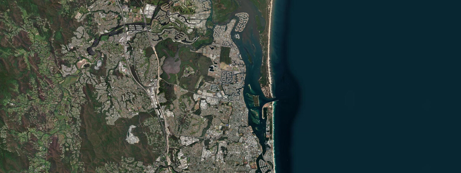
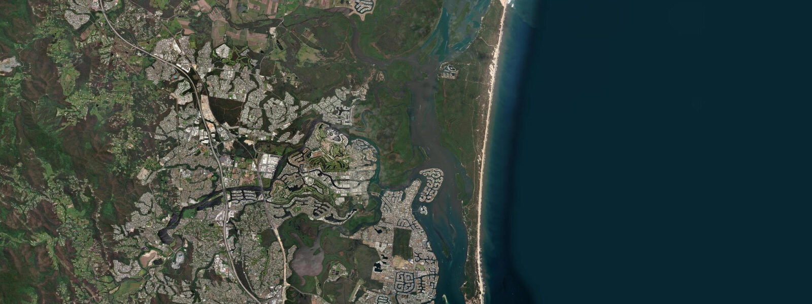
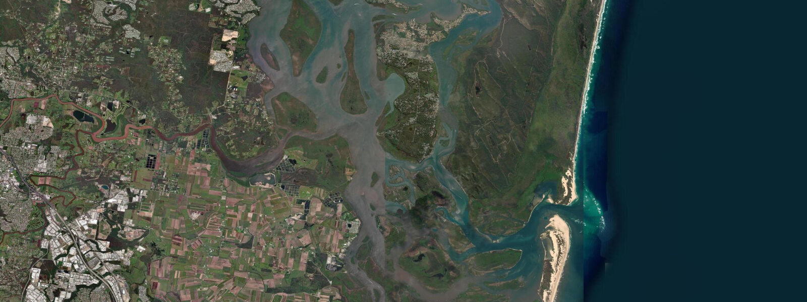
The Gold Coast is the long open Pacific-facing strip running south from Southport to Coolangatta, fifty-odd kilometres of beach and surf and the river-mouth at the Gold Coast Seaway. 8 on spring tides. That's a modest swing, but for the open beach, the Seaway entrance, and the inner-river reaches up the Coomera and the Nerang, the timing matters.
The Seaway runs hard on the change of tide — currents through the rock-walled entrance can exceed three knots, and the tidal pool either side of the Seaway is the local benchmark for slack-water timing. The wide beaches at Surfers Paradise and Burleigh widen by 10–15 metres at low water; the dawn beach-walk crowd reads the table to time their out-and-back. Surfers at Snapper Rocks and Kirra read the same table for the way low water reshapes the inside section.
Predictions on this page come from Open-Meteo Marine, gridded ocean-model output. The Australian Bureau of Meteorology and the Maritime Safety Queensland service run the authoritative gauges.
Tide questions about Gold Coast, QLD
Quick answers to the most common questions about tide times, range, and water access at Gold Coast, QLD.
When is the next high tide at the Gold Coast?
The hero block shows the next high tide at the Gold Coast Seaway reference in local Brisbane time, height above MSL. The 7-day table covers daily highs and lows. The inner river reaches up the Coomera and the Nerang see the high water 30–60 minutes after the Seaway, depending on the river-mouth restriction.
What's the typical tide range at the Gold Coast?
Mean range at the Gold Coast Seaway is about 1.3 metres. Spring tides push toward 1.8 metres, neaps drop near 0.8. The Australian east coast runs modest semidiurnal swings — Sydney to the south runs about 1.2 metres mean, and the pattern stays consistent up the Queensland coast until the Great Barrier Reef geometry starts to amplify the signal further north.
When does the Seaway run hardest?
Currents through the Gold Coast Seaway peak roughly midway between high and low tide, when the height difference between the open ocean and the inner river is steepest. Slack water — the calmest moment to cross or anchor — is around the actual high and low at the Seaway. The 7-day table flags each daily extreme.
Where do these tide predictions come from?
Open-Meteo Marine, a gridded global ocean model. Useful for daily planning around the Gold Coast, but not navigation-grade. The Australian Bureau of Meteorology and Maritime Safety Queensland publish the authoritative tide tables for Queensland coastal waters.
Is this safe to use for navigation?
No. For piloting through the Gold Coast Seaway, the Broadwater, or the inner-river reaches use the Australian Bureau of Meteorology tide tables, the Australian Hydrographic Office charts, and Maritime Safety Queensland notices. Open-Meteo's gridded data is general-planning information, not a navigational source.
8-day tide table — Gold Coast, QLD
Heights relative to MSL. Predictions: Open-Meteo Marine (MeteoFrance SMOC, 0.08° grid) — heights relative to MSL (not chart datum / LAT). Model-derived.
| Day | Type | Time | Height |
|---|---|---|---|
| Sun 26 Jul | Low | 10:48 | -0.3m |
| High | 17:50 | 1.0m | |
| Mon 27 Jul | Low | 11:38 | -0.3m |
| High | 18:26 | 1.1m | |
| Tue 28 Jul | Low | 01:08 | -0.2m |
| High | 06:39 | 0.5m | |
| Low | 12:16 | -0.3m | |
| High | 19:03 | 1.1m | |
| Wed 29 Jul | Low | 01:43 | -0.3m |
| High | 07:15 | 0.5m | |
| Low | 12:55 | -0.4m | |
| High | 19:40 | 1.1m | |
| Thu 30 Jul | Low | 02:15 | -0.4m |
| High | 20:13 | 1.1m | |
| Fri 31 Jul | Low | 14:06 | -0.4m |
| High | 20:46 | 1.1m | |
| Sat 01 Aug | Low | 03:15 | -0.4m |
| High | 09:06 | 0.6m | |
| Low | 14:42 | -0.4m | |
| High | 21:18 | 1.0m | |
| Sun 02 Aug | Low | 03:47 | -0.4m |
| High | 09:00 | 0.6m |