Nhulunbuy tide times
Nhulunbuy tide forecast — heights relative to MSL.
Today's tide times for Nhulunbuy
Tide times at Nhulunbuy on Saturday, 27 June 2026: first high tide at 18:36. Sunrise 07:13, sunset 18:38.
Tide chart for Nhulunbuy
24-hour cosine-interpolated curve around the present moment. Heights relative to MSL. Predictions: Predictions: Open-Meteo Marine (MeteoFrance SMOC, 0.08° grid).
Sun, moon and conditions on Sat 27 Jun
Snapshot at build time — refreshes daily. Sea state from Open-Meteo Marine.
Highs and lows next 7 days
Every predicted high and low for the next week, with the daily tidal coefficient (0–120; higher = bigger swing, > 95 means stronger currents).
Other spots nearby
The three closest curated TideTurtle locations to Nhulunbuy, measured by great-circle distance.

Today's solunar windows
Solunar tradition: major periods are the ≈3h windows around moon transit and opposition; minor are ≈2h around moonrise and moonset. Pair with the local tide stage and wind for the best read.
Cycle dates near Nhulunbuy
Next spring tide on Thu 02 Jul (range 2.2m). Last neap on Sat 27 Jun.
Spring tides cluster around new and full moons (biggest swings). Neap tides land on quarter moons (smallest swings). See the spring tide and neap tide glossary entries for the why.
About tides at Nhulunbuy
A short guide to the coastline at Nhulunbuy — geography, sea state, and what the tide is actually doing under your feet.
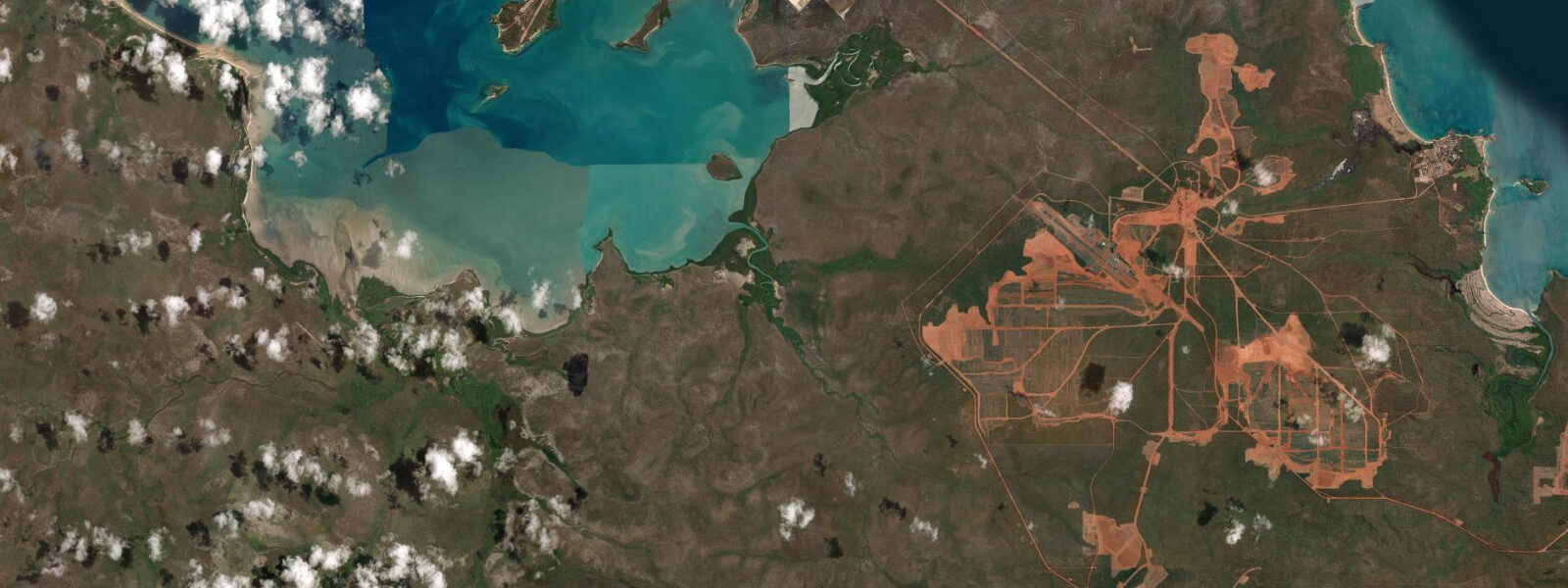
Nhulunbuy is a remote mining town of around 3,500 people on the Gove Peninsula at the northeastern tip of Arnhem Land, 650 km east of Darwin by air. The town was built in the 1970s to service the bauxite mining and alumina refining operation and has the infrastructure of an isolated company town: a sealed airport, a hospital, a shopping centre, and a marina. The Gove Peninsula is Aboriginal Land, and entry requires a permit for all non-residents except those with specific approved business or tourism purposes. Permits are obtained through the Northern Land Council.
The tidal regime at Nhulunbuy is semidiurnal with a spring range of approximately 3.0–3.5 m above Chart Datum — large by most standards, though modest compared to Darwin's 7.5 m. The Gove Peninsula faces northeast into the Gulf of Carpentaria on one side and the Arafura Sea approaches on the other. Mean high water springs reaches approximately 3.2 m above Chart Datum; mean low water springs drops to around 0.2 m. Strong tidal currents run in the straits between the Gove Peninsula and Groote Eylandt to the south, particularly through the Arnhem Bay approaches.
Saltwater crocodiles are present in all tidal waters around Nhulunbuy. The same absolute rule applies as elsewhere in the NT: never enter tidal water outside a designated safe swimming area. Nhulunbuy Beach and Rocky Bay have been assessed and are maintained as safer recreational areas, but conditions change — check with NT Parks and Wildlife or local administration before any water entry.
For boaters, the Gove Harbour and the offshore Arafura Sea islands provide exceptional game fishing: Spanish mackerel, giant trevally, coral trout, and barramundi in the tidal creek systems around the peninsula. The 3.0–3.5 m spring tidal range creates significant current in the straits and around headlands; passage planning requires current-aware timing. The Nhulunbuy Marina has limited visitor berths — arrange access in advance. Fuel and provisions are available but expensive relative to Darwin; remote location costs are real here.
The Yolngu people are the traditional owners of Arnhem Land and have lived on this coast for tens of thousands of years. The inter-tidal zones and reef systems around the Gove Peninsula are fishing grounds with deep cultural history. Visitors with approved permits who engage respectfully with the community can access guided experiences not available anywhere else in Australia.
For sea kayakers with the necessary permits and logistics, the Arafura Sea coastline north of Nhulunbuy is one of the most remote paddling environments on the continent: red rock escarpments, offshore islands, white sand beaches, and clear blue water over reef systems. The tidal range of 3.0–3.5 m creates reversing currents at headlands and island passages that require careful timing. The dry season (May–October) is the only practical window — wet season conditions make this coast inaccessible to small vessels from November through April.
All tide predictions for Nhulunbuy come from the Open-Meteo Marine gridded model. Timing accuracy is ±45 minutes; height accuracy is ±0.3 m above Chart Datum.
Tide questions about Nhulunbuy
Quick answers to the most common questions about tide times, range, and water access at Nhulunbuy.
Do I need a permit to visit Nhulunbuy, and how do I get one?
Nhulunbuy is in Arnhem Land Aboriginal Land, and a permit is required for all non-residents not visiting for specific approved purposes (business, family, medical). Permits are issued by the Northern Land Council — apply well in advance, as processing takes several weeks. Tourism operators with existing agreements can bring approved groups. The permit requirement applies to road access via the Central Arnhem Road and to vessel landings on Aboriginal Land. The Nhulunbuy township area is accessible by scheduled flights from Darwin. Coordinate all access well before travel; the permit system is real and enforced.
What is the tidal range at Nhulunbuy and how does it affect boating?
Nhulunbuy has a semidiurnal spring tidal range of approximately 3.0–3.5 m above Chart Datum. Mean high water springs is around 3.2 m; mean low water springs around 0.2 m. Significant tidal currents run in the straits between the Gove Peninsula and Groote Eylandt — passage through these straits requires timing the transit around the favourable current window. The Nhulunbuy Marina has limited visitor berths; arrange access in advance. Saltwater crocodiles are present in all tidal waters — never enter tidal water except at assessed safe locations within the town area. Tide predictions carry ±45 minutes timing uncertainty.
What game fish species are available near Nhulunbuy?
The Arafura Sea and Gulf of Carpentaria around Nhulunbuy hold Spanish mackerel, giant trevally, coral trout, and barramundi in the tidal creek systems. Spanish mackerel school on offshore reefs April through October and are targeted by trolling at the current edges on headlands and island passages. Giant trevally work the tidal rips around rocky points at dawn and dusk. Barramundi are found in the mangrove tidal creeks; the last 2 hours of the flooding tide is the prime window. All tidal fishing locations carry crocodile risk — never wade or fish from low creek banks. Tide predictions carry ±45 minutes uncertainty.
Is Nhulunbuy accessible by road?
Nhulunbuy is accessible by the Central Arnhem Road from Katherine (approximately 700 km), which passes through Aboriginal Land Trust areas requiring permits and is unsealed for most of its length. The road is impassable in the wet season (November–April) due to flooding. Fly-in via Darwin is the standard access route; Nhulunbuy Airport has regular services from Darwin. Road access permits are separate from the general Arnhem Land permit and must be arranged with the relevant Land Councils. A vessel passage via the Arafura Sea is a further option but requires navigational experience and a self-sufficient offshore-capable boat.
When is the best season for coastal access at Nhulunbuy?
The dry season, May through October, is the only practical window. Clear skies, temperatures 25–32 °C, accessible roads, and safe sea conditions for small vessels. The wet season (November–April) brings monsoonal rain, cyclone risk, and road closures across Arnhem Land. The Arafura Sea coast is not safely accessible by small vessels during the wet season. Peak game-fishing months are June through September. Migratory shorebirds on the tidal flats peak in September–October. All tide predictions carry ±45 minutes timing uncertainty and ±0.3 m height uncertainty from the Open-Meteo Marine model.
8-day tide table — Nhulunbuy
Heights relative to MSL. Predictions: Open-Meteo Marine (MeteoFrance SMOC, 0.08° grid) — heights relative to MSL (not chart datum / LAT). Model-derived.
| Day | Type | Time | Height |
|---|---|---|---|
| Sat 27 Jun | High | 18:36 | 1.1m |
| Sun 28 Jun | Low | 01:46 | -0.5m |
| Mon 29 Jun | High | 20:07 | 1.4m |
| Tue 30 Jun | Low | 03:12 | -0.6m |
| High | 09:45 | 1.1m | |
| Low | 15:12 | 0.3m | |
| High | 20:52 | 1.3m | |
| Wed 01 Jul | Low | 03:53 | -0.7m |
| High | 21:32 | 1.4m | |
| Thu 02 Jul | Low | 16:25 | 0.2m |
| High | 22:10 | 1.4m | |
| Fri 03 Jul | Low | 05:06 | -0.8m |
| High | 11:39 | 1.1m | |
| Low | 17:00 | 0.1m | |
| High | 22:45 | 1.4m | |
| Sat 04 Jul | Low | 05:35 | -0.8m |
| High | 09:00 | 0.2m |