Groote Eylandt tide times
Groote Eylandt tide forecast — heights relative to MSL.
Today's tide times for Groote Eylandt
Tide times at Groote Eylandt on Saturday, 27 June 2026: first low tide at 10:00. Sunrise 07:17, sunset 18:36.
Tide chart for Groote Eylandt
24-hour cosine-interpolated curve around the present moment. Heights relative to MSL. Predictions: Predictions: Open-Meteo Marine (MeteoFrance SMOC, 0.08° grid).
Sun, moon and conditions on Sat 27 Jun
Snapshot at build time — refreshes daily. Sea state from Open-Meteo Marine.
Highs and lows next 7 days
Every predicted high and low for the next week, with the daily tidal coefficient (0–120; higher = bigger swing, > 95 means stronger currents).
Other spots nearby
The three closest curated TideTurtle locations to Groote Eylandt, measured by great-circle distance.
Today's solunar windows
Solunar tradition: major periods are the ≈3h windows around moon transit and opposition; minor are ≈2h around moonrise and moonset. Pair with the local tide stage and wind for the best read.
About tides at Groote Eylandt
A short guide to the coastline at Groote Eylandt — geography, sea state, and what the tide is actually doing under your feet.
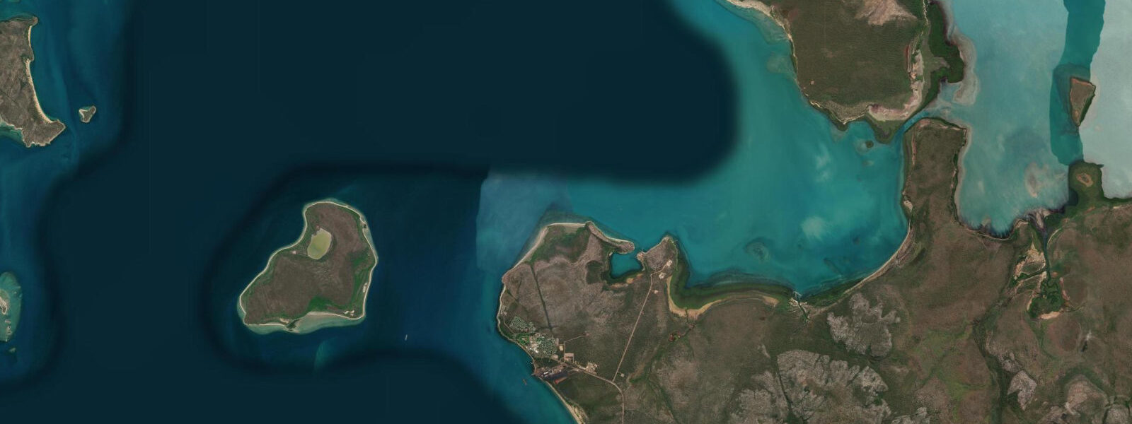
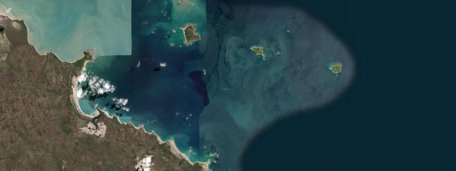
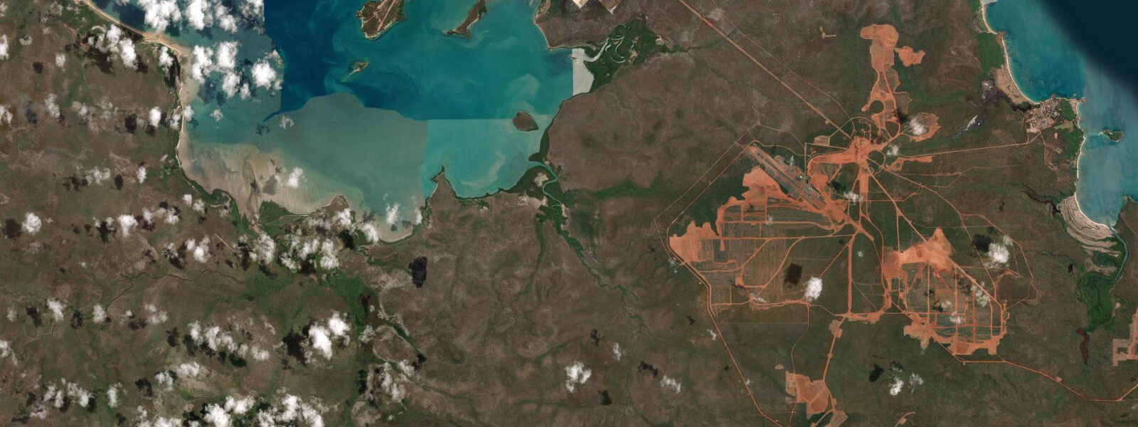
Groote Eylandt is the largest island in the Gulf of Carpentaria, roughly 50 km off the Arnhem Land coast and 650 km east of Darwin. The name is Dutch — 'large island' — given by Abel Tasman when he charted this coast in 1644. Most of the island is Groote Eylandt Aboriginal Land Trust, belonging to the Anindilyakwa people who have occupied this coast for tens of thousands of years. Alyangula, on the northwest coast, is the only non-Aboriginal township and functions as the service centre for the GEMCO manganese mine — one of the world's largest and highest-grade manganese deposits, operating since 1966. Entry to Groote Eylandt beyond Alyangula requires a permit from the Anindilyakwa Land Council.
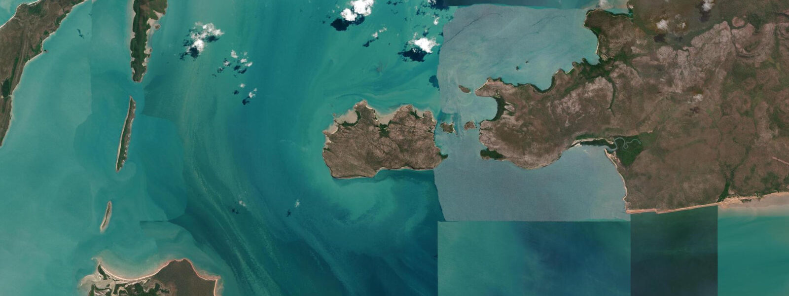
The tidal regime at Groote Eylandt is semidiurnal with a spring range of approximately 2.5–3.0 m above Chart Datum. Mean high water springs reaches around 2.8 m above Chart Datum; mean low water springs drops to roughly 0.2 m. The Gulf of Carpentaria is a large semi-enclosed body with a complex tidal pattern that produces lower ranges than the open Timor Sea coast at Darwin. Strong tidal currents run in the Groote Eylandt Passage between the island and the Arnhem Land coast and around the island's southern headlands on spring tides.
Saltwater crocodiles are present in all tidal waters around Groote Eylandt without exception. The island's extensive mangrove systems and tidal creek networks are prime crocodile habitat. Never enter tidal water except at assessed safe locations within Alyangula. The GEMCO mine wharf and industrial areas are not public access; recreational boating and fishing around the island require coordination with the Anindilyakwa Land Council for any Aboriginal Land landings.
The island's coastline is characterised by extensive tidal mangrove flats that expose at low water to reveal mud, reef platform, and sandy channels. On spring low tides, the exposed flats on the sheltered western coast extend 300–500 m from the mangrove fringe. These flats are biologically productive — mud crabs, barramundi, and mangrove jack work the tidal channels — but crocodile protocols are absolute: no wading, no fishing from low creek banks.
For boaters and game anglers based at Alyangula, the surrounding Gulf of Carpentaria waters hold barramundi in the tidal creek systems, Spanish mackerel and queenfish on the offshore reefs, and giant trevally on the tidal rips at island headlands. The gulf is generally calmer than the Arafura Sea, making it more accessible for smaller vessels. The 2.5–3.0 m spring tidal range creates workable current at headlands and island passages that concentrate pelagic fish on the tide changes.
The Anindilyakwa people have an exceptionally rich marine cultural tradition — the sea, tidal zones, and seasonal fish movements are embedded in language, ceremony, and knowledge systems that predate European contact by millennia. Approved community tourism programs operate from Alyangula and include guided fishing and cultural experiences. These are logistically demanding to access — fly-in from Darwin or by private vessel — but offer a coastal encounter unavailable anywhere else in Australia.
The dry season (May–October) is the practical access window. Wet season conditions, cyclone risk, and flooding affect the island from November through April.
All tide predictions for Groote Eylandt come from the Open-Meteo Marine gridded model. Timing accuracy is ±45 minutes; height accuracy is ±0.3 m above Chart Datum.
Tide questions about Groote Eylandt
Quick answers to the most common questions about tide times, range, and water access at Groote Eylandt.
What is the tidal range at Groote Eylandt and how does it compare to Darwin?
Groote Eylandt has a semidiurnal spring tidal range of approximately 2.5–3.0 m above Chart Datum — large by global standards but significantly less than Darwin's 7.5 m. The Gulf of Carpentaria's enclosed geometry produces a different tidal pattern from the open Timor Sea. Mean high water springs is around 2.8 m; mean low water springs around 0.2 m. On spring low tides the mangrove-fringed western coast exposes 300–500 m of tidal flat. Strong currents run in the Groote Eylandt Passage and around the southern headlands on springs. All tide predictions carry ±45 minutes timing uncertainty and ±0.3 m height uncertainty.
Do I need a permit to visit Groote Eylandt?
Most of Groote Eylandt is Groote Eylandt Aboriginal Land Trust, owned by the Anindilyakwa people. A permit from the Anindilyakwa Land Council is required for any access beyond the Alyangula township area — including all beach landings, tidal flat access, and travel to Aboriginal communities. Alyangula is accessible by scheduled flights from Darwin and by vessel at the public wharf. The GEMCO mining site has additional access controls. Apply for land permits well in advance through the Anindilyakwa Land Council. Crocodile protocols apply to all tidal waters regardless of permit status.
What fishing is available from Alyangula, and what tidal windows matter?
Barramundi are the primary target in the mangrove tidal creeks — the last 2 hours of the incoming tide through to the first hour of the ebb is the prime window. Spanish mackerel and queenfish work the offshore reefs and island headlands on the tide changes. Giant trevally concentrate at tidal rips on prominent headlands at dawn and dusk on the spring ebb. The 2.5–3.0 m spring tidal range creates useful current at headlands that fish actively. Never wade or fish from low creek banks anywhere on the island — crocodiles are present in all tidal waterways. Tide predictions carry ±45 minutes uncertainty.
What is the best season to visit Groote Eylandt?
The dry season, May through October, is the only practical window. Roads in Arnhem Land flood and close November through April; sea conditions in the wet season make small-boat access unreliable. Clear skies, 25–32 °C, and accessible coastal areas define the dry season here. Game fishing peaks June through September when Spanish mackerel are most active. September–October sees peak migratory shorebird numbers on the tidal flats. Flights from Darwin to Alyangula run daily in dry season. Coordinate Anindilyakwa Land Council permit applications months in advance for dry-season travel.
Are there crocodiles at Groote Eylandt, and where is it safe to be near the water?
Saltwater crocodiles are present in all tidal waters around Groote Eylandt — every creek, mangrove channel, and tidal flat. Assessed safe recreation areas exist within Alyangula; check current conditions with local NT Parks and Wildlife before any water entry. Never enter tidal water outside a designated safe enclosure, never wade in tidal areas, and never fish from low riverbanks or mangrove edges. The extensive mangrove systems around the island are prime crocodile habitat. The hazard is permanent and applies equally to remote beaches and town-adjacent areas.
8-day tide table — Groote Eylandt
Heights relative to MSL. Predictions: Open-Meteo Marine (MeteoFrance SMOC, 0.08° grid) — heights relative to MSL (not chart datum / LAT). Model-derived.
| Day | Type | Time | Height |
|---|---|---|---|
| Sat 27 Jun | Low | 10:00 | 0.8m |
| Sun 28 Jun | — | ||
| Mon 29 Jun | — | ||
| Tue 30 Jun | High | 11:54 | 1.1m |
| Low | 22:00 | -0.2m | |
| Wed 01 Jul | — | ||
| Thu 02 Jul | High | 13:10 | 1.2m |
| Fri 03 Jul | Low | 23:20 | -0.2m |
| Sat 04 Jul | High | 09:00 | 0.5m |