Sydney tide times
Sydney tide forecast — heights relative to MSL.
Today's tide times for Sydney
Tide times at Sydney on Friday, 19 June 2026: first high tide at 11:25, first low tide at 16:57, second high tide at 23:18. Sunrise 06:59, sunset 16:53.
Tide chart for Sydney
24-hour cosine-interpolated curve around the present moment. Heights relative to MSL. Predictions: Predictions: Open-Meteo Marine (MeteoFrance SMOC, 0.08° grid).
Sun, moon and conditions on Fri 19 Jun
Snapshot at build time — refreshes daily. Sea state from Open-Meteo Marine.
Highs and lows next 7 days
Every predicted high and low for the next week, with the daily tidal coefficient (0–120; higher = bigger swing, > 95 means stronger currents).
Other spots nearby
The three closest curated TideTurtle locations to Sydney, measured by great-circle distance.
Today's solunar windows
Solunar tradition: major periods are the ≈3h windows around moon transit and opposition; minor are ≈2h around moonrise and moonset. Pair with the local tide stage and wind for the best read.
Cycle dates near Sydney
Last spring tide on Fri 19 Jun (range 1.5m). Next neap on Tue 23 Jun.
Spring tides cluster around new and full moons (biggest swings). Neap tides land on quarter moons (smallest swings). See the spring tide and neap tide glossary entries for the why.
About tides at Sydney
A short guide to the coastline at Sydney — geography, sea state, and what the tide is actually doing under your feet.
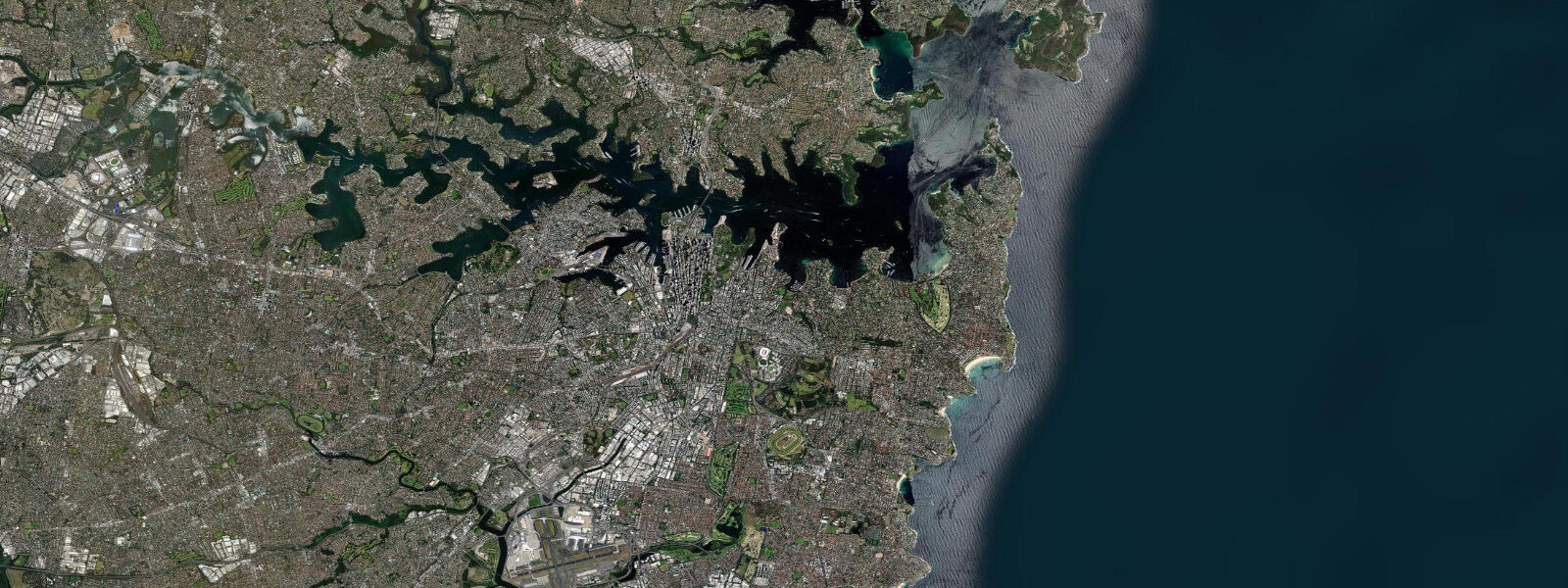
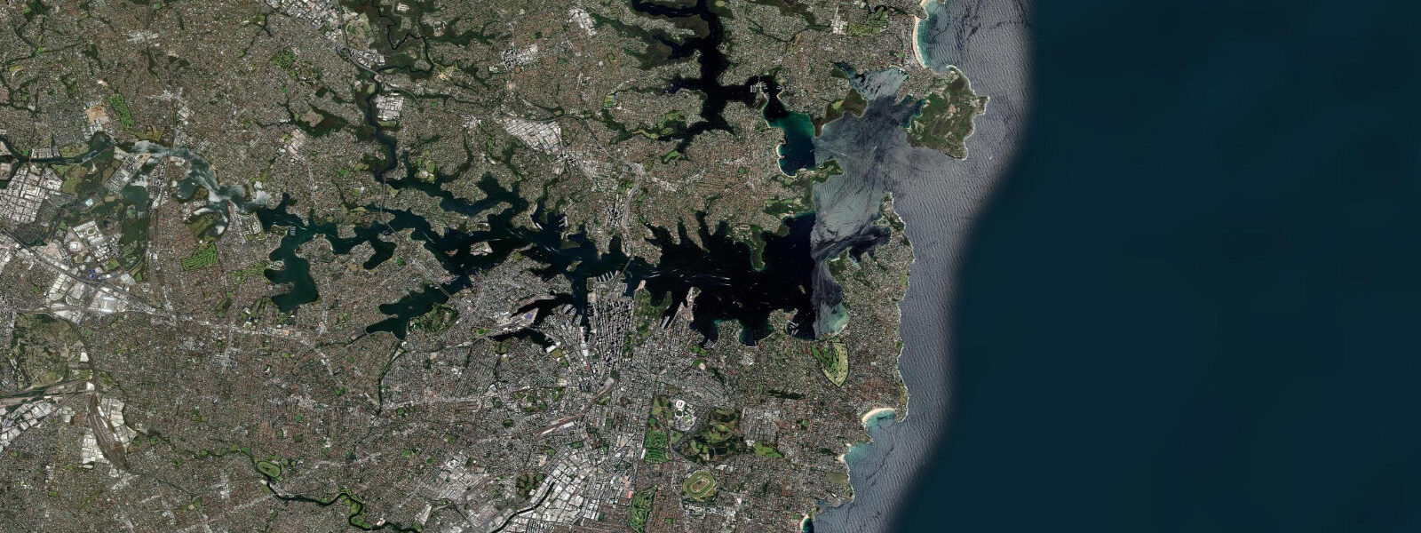
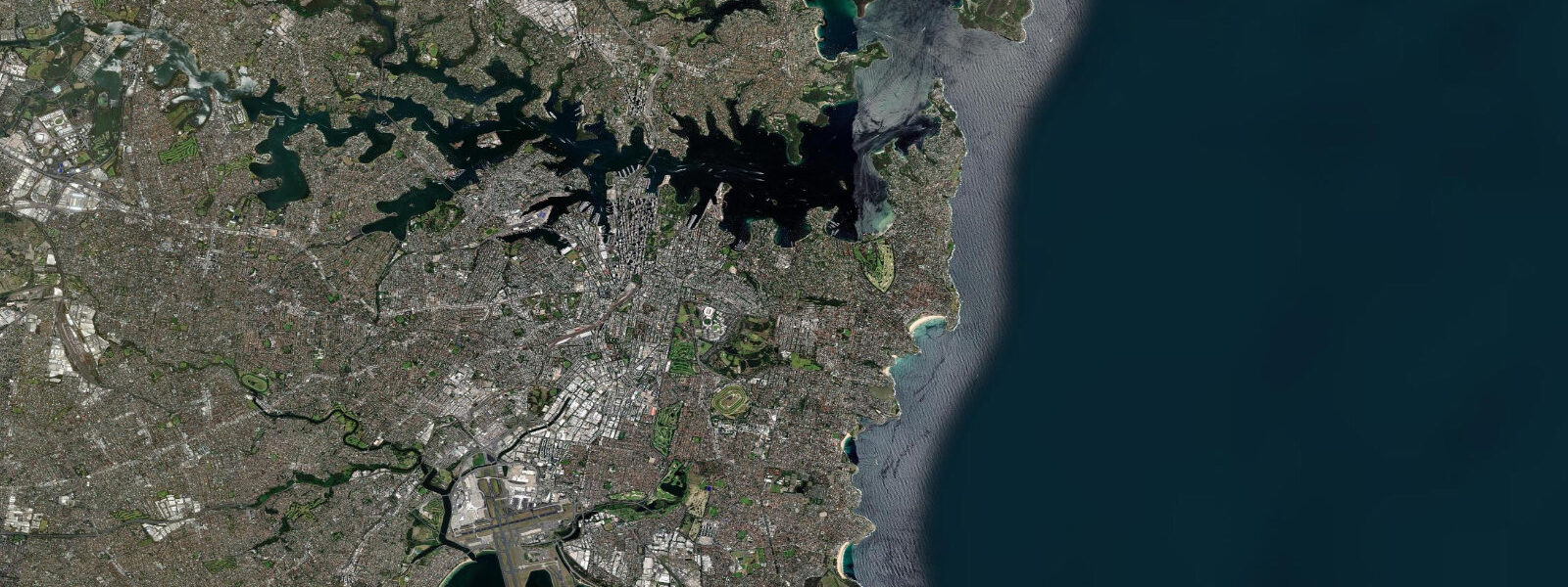
Sydney Harbour — Port Jackson — is 54 square kilometres of drowned river valley containing the city's two most famous structures (the bridge, 1932; the opera house, 1973), a working international port, dozens of sheltered beaches, and a ferry network that functions as genuine public transport rather than tourist attraction. The tidal waterway that cuts into the city's eastern suburbs is an amenity that most global capitals lack: Manly, Balmoral, Clontarf, Chinamans Beach, and Murray Rose Pool are all swimming beaches inside the harbour, reachable by ferry or a short bus ride from the CBD.
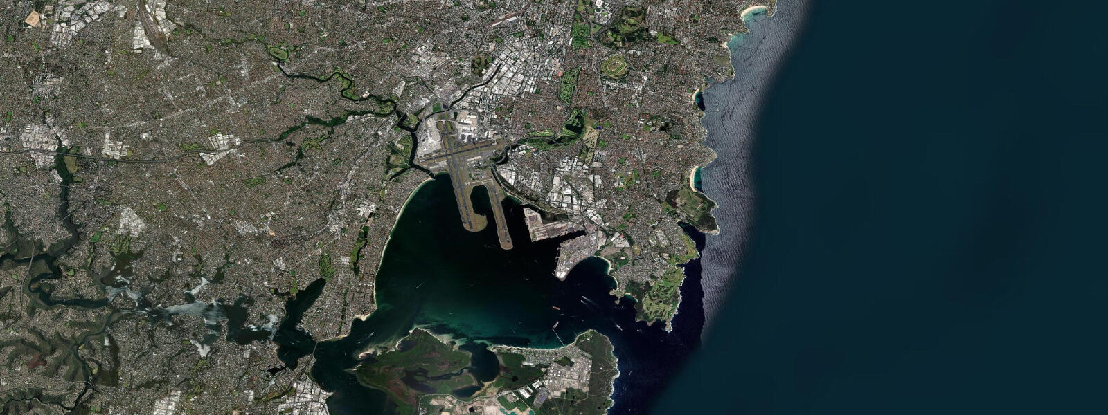
Tidal range at Sydney is 1.2 to 1.6 metres at springs — enough to matter for beach planning and harbour navigation. Fort Denison in the middle of the harbour has been the primary Sydney tide gauge since 1886. At low tide, the harbour's tidal flats expose and the sand banks at Balmoral and Chinamans are more extensive. For surf, the ocean beaches east of the Heads (Bondi, Bronte, Coogee, Manly) use tidal state to manage bank conditions.
Bondi Beach is the headline: 1 kilometre of sand, an ocean pool at each end (Icebergs at the south, Bondi at the north), a consistent beach break that has produced waves since before the surf life-saving movement started there in 1906. The Bondi to Coogee coastal walk (6 km one way) links Bondi to Tamarama, Bronte, Clovelly, and Coogee along ocean cliffs with views over the Tasman Sea — one of the most used walking routes in the country. Each beach on the route has an ocean pool, a surf club, and its own micro-character.
Manly, on the north side of the Heads, is a ferry ride from Circular Quay (about 30 minutes) — still considered the best value transport experience in Sydney. The beach is north-facing and catches northeast swell more directly than Bondi; the surf school density is highest here. The Manly Scenic Walkway (9 km) connects Manly to Spit Bridge along harbour foreshores and national park.
The ocean pools are a specifically Sydney institution. More than 100 rock pools are scattered along the ocean coast from Palm Beach in the north to Cronulla in the south; Bronte, Malabar, Mahon (Maroubra), and the Coogee Women's Baths are among the best known. The pools fill on each tide cycle and provide calm swimming against the ocean backdrop without the unpredictability of surf. Most are unattended and free.
Predictions on this page come from Open-Meteo Marine, a gridded global ocean model. Accuracy is typically within plus or minus 45 minutes on timing and 0.2 to 0.3 metres on height — model-derived, not from a local gauge. For authoritative Australian tide data, consult the Bureau of Meteorology (BOM).
Tide questions about Sydney
Quick answers to the most common questions about tide times, range, and water access at Sydney.
What is the tidal range at Sydney?
Sydney Harbour (Port Jackson) has a spring tidal range of 1.2 to 1.6 metres. The Fort Denison gauge has recorded tides since 1886 and is the primary reference point. Inside the harbour, tidal state affects the harbour beaches — low tide exposes more sand at Balmoral and Chinamans Beach. For the ocean beaches (Bondi, Manly, Bronte), tidal state influences which sand banks are covered and whether the ocean pools fill.
Is the Bondi to Coogee walk suitable for all fitness levels?
Yes — the 6-kilometre coastal walk from Bondi to Coogee is well-maintained with paved and boardwalk sections. Total elevation change is minimal (the path hugs the clifftop). Allow 1.5–2 hours at a relaxed pace, stopping at beaches and lookouts. The walk goes through Tamarama (smallest and most wave-exposed), Bronte (ocean pool, grassy park, good for a swim stop), Clovelly (unique rock-pool inlet), and ends at Coogee. Can be walked in either direction.
What is the Manly Ferry and is it worth taking?
The Manly Ferry is a government service running from Circular Quay to Manly (Manly Wharf) in about 30 minutes. The route crosses Sydney Harbour and passes the Opera House, Harbour Bridge, and through the heads to the open ocean approach to Manly. Standard Opal card public transport pricing applies — it is one of the world's great ferry commutes. Run by Transport NSW; services approximately every 30–60 minutes depending on time of day.
What are Sydney's ocean pools?
Rock pools cut or formed naturally in the ocean cliff platforms, fenced and maintained by local councils, that fill on each tidal cycle. More than 100 exist along the Sydney coast. They provide calm, clean salt water for swimming without surf risk. Famous examples: Icebergs (Bondi, home to a lap-swim club operating since 1929), Bronte Baths, Malabar Rock Pool, Mahon Pool (Maroubra). Most are free and unattended; Icebergs charges entry.
Which Sydney ocean beach is best for beginner surfers?
Manly and Cronulla have the highest concentration of surf schools and the most consistent beginner conditions. Manly's north-facing beach catches northeast swell and produces manageable beach-break waves for lessons. Bondi is more variable and crowded; beginner lessons there are managed in a designated zone. Palm Beach, 45 minutes north by car, is less crowded and has gentle waves on the Pittwater (bay) side for absolute beginners.
8-day tide table — Sydney
Heights relative to MSL. Predictions: Open-Meteo Marine (MeteoFrance SMOC, 0.08° grid) — heights relative to MSL (not chart datum / LAT). Model-derived.
| Day | Type | Time | Height |
|---|---|---|---|
| Fri 19 Jun | High | 11:25 | 0.6m |
| Low | 16:57 | -0.2m | |
| High | 23:18 | 1.0m | |
| Sat 20 Jun | Low | 06:14 | -0.5m |
| High | 12:25 | 0.5m | |
| Low | 18:00 | -0.2m | |
| Sun 21 Jun | High | 00:11 | 0.8m |
| Low | 07:00 | -0.5m | |
| High | 13:24 | 0.5m | |
| Low | 19:02 | -0.1m | |
| Mon 22 Jun | High | 01:08 | 0.7m |
| Low | 07:46 | -0.4m | |
| High | 14:18 | 0.6m | |
| Low | 20:16 | -0.1m | |
| Tue 23 Jun | High | 02:06 | 0.5m |
| Low | 08:24 | -0.3m | |
| High | 15:12 | 0.6m | |
| Low | 21:23 | -0.1m | |
| Wed 24 Jun | High | 03:10 | 0.4m |
| Low | 09:06 | -0.3m | |
| High | 16:02 | 0.7m | |
| Thu 25 Jun | Low | 10:00 | -0.2m |
| High | 16:40 | 0.7m | |
| Fri 26 Jun | Low | 09:00 | -0.2m |