Merimbula tide times
Merimbula tide forecast — heights relative to MSL.
Today's tide times for Merimbula
Tide times at Merimbula on Friday, 19 June 2026: first low tide at 10:00, first high tide at 11:40, second low tide at 17:02, second high tide at 23:21. Sunrise 07:12, sunset 16:50.
Tide chart for Merimbula
24-hour cosine-interpolated curve around the present moment. Heights relative to MSL. Predictions: Predictions: Open-Meteo Marine (MeteoFrance SMOC, 0.08° grid).
Sun, moon and conditions on Fri 19 Jun
Snapshot at build time — refreshes daily. Sea state from Open-Meteo Marine.
Highs and lows next 7 days
Every predicted high and low for the next week, with the daily tidal coefficient (0–120; higher = bigger swing, > 95 means stronger currents).
Other spots nearby
The three closest curated TideTurtle locations to Merimbula, measured by great-circle distance.
Today's solunar windows
Solunar tradition: major periods are the ≈3h windows around moon transit and opposition; minor are ≈2h around moonrise and moonset. Pair with the local tide stage and wind for the best read.
Cycle dates near Merimbula
Last spring tide on Fri 19 Jun (range 1.4m). Next spring tide on Thu 25 Jun (range 0.9m). Next neap on Wed 24 Jun.
Spring tides cluster around new and full moons (biggest swings). Neap tides land on quarter moons (smallest swings). See the spring tide and neap tide glossary entries for the why.
About tides at Merimbula
A short guide to the coastline at Merimbula — geography, sea state, and what the tide is actually doing under your feet.
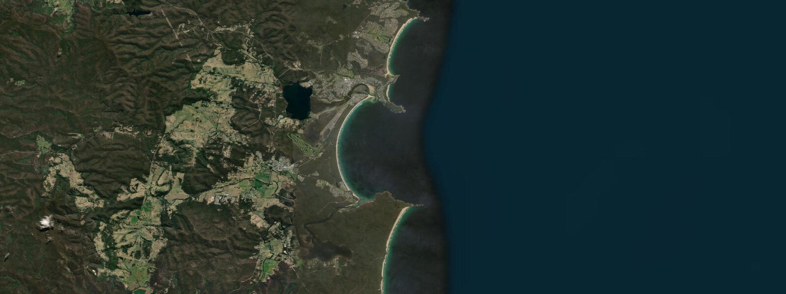
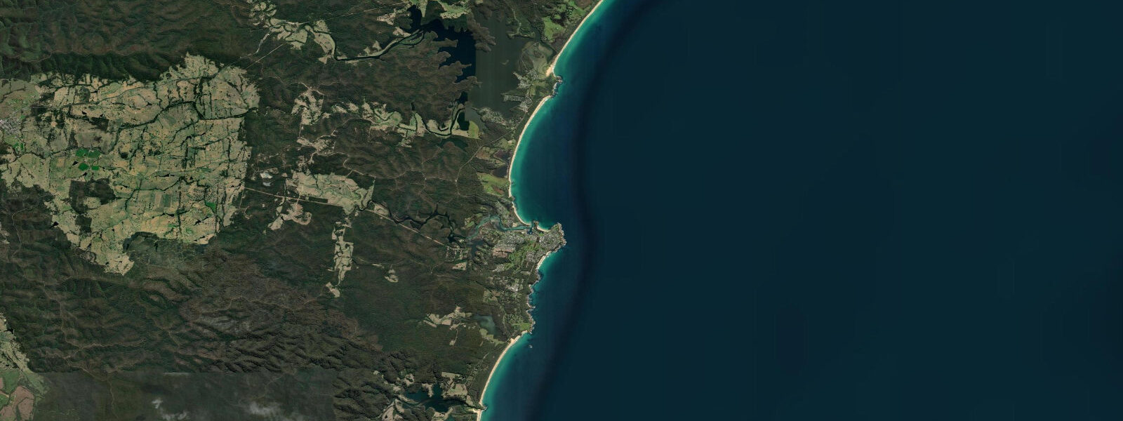
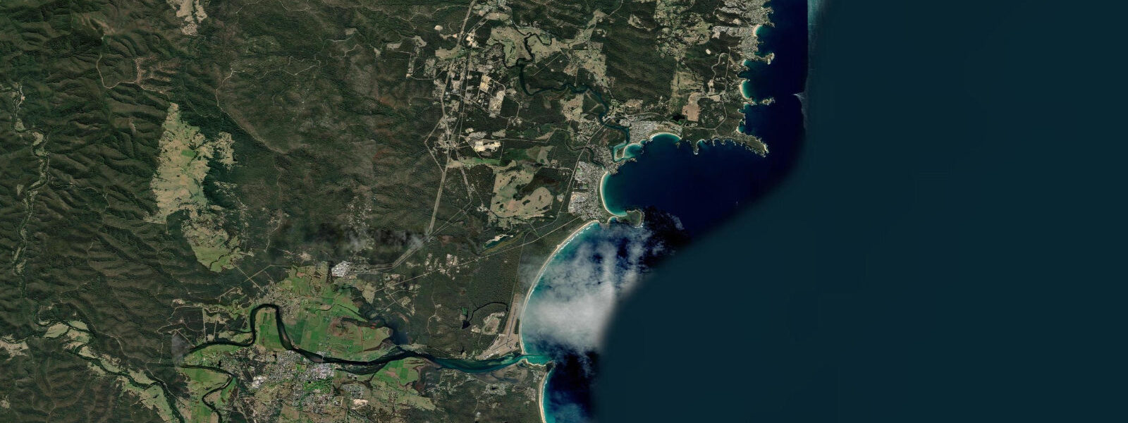
Merimbula is a fishing town on the Sapphire Coast — the stretch of NSW south coast below Batemans Bay, named for the clarity of the water rather than any gemstone deposit — that has kept its working character while accommodating enough summer tourism to sustain the town economically through the colder months. Merimbula Lake, a large tidal estuary that cuts into the town, is the geographic feature that organises everything: the town sits between the lake and the open ocean beach, and the lake provides calm water for kayaking, fishing, and swimming in a protected environment separate from the surf.
Tidal range at Merimbula is 1.5 to 2.0 metres at springs — mid-range south NSW coast. The lake entrance channel is tidal; outgoing flow can be strong enough to affect kayakers near the bar. The ocean beach (Short Point and Main Beach) picks up southeast and east swells from the Tasman Sea. The south coast of NSW receives consistent swell year-round, with larger, more powerful waves in autumn and winter from Southern Ocean storm systems.
The oyster industry operates on the lake — Merimbula Lake oysters are sold locally and distributed through Sydney restaurants. The oyster leases visible from the kayak routes on the upper lake are an active, working element of the estuary. Guided tours run from the Merimbula Wharf, combining oyster tasting with lake ecology context. The lake supports black swans, pelicans, herons, and migratory wading birds that use the tidal flats on the ebb.
Diving in the offshore waters is organised around the Merimbula artificial reef (old tyres and structures placed 3 km offshore in the 1990s) and the natural rocky reefs around Short Point. Grey nurse sharks are present at some deeper sites offshore; the area is within the distribution range for these animals. Whale watching from July through November as southern right whales and humpbacks move along the NSW coast is feasible from the headlands or charter boats.
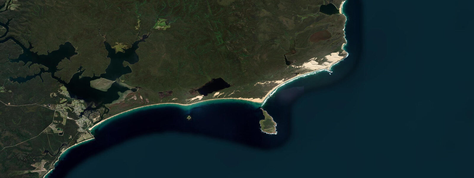
Ben Boyd National Park begins immediately south of Merimbula and extends to the Victorian border — coastal heath, eucalyptus forest, and ocean cliffs with limited development pressure. The Light to Light walk (31 km over 2–3 days) runs between Green Cape Lighthouse and Boyd Tower through the park on a maintained trail. Day sections are accessible from the Merimbula end via the Potoroo Palace wildlife park access road.
Predictions on this page come from Open-Meteo Marine, a gridded global ocean model. Accuracy is typically within plus or minus 45 minutes on timing and 0.2 to 0.3 metres on height — model-derived, not from a local gauge. For authoritative Australian tide data, consult the Bureau of Meteorology (BOM).
Tide questions about Merimbula
Quick answers to the most common questions about tide times, range, and water access at Merimbula.
What is the tidal range at Merimbula?
Merimbula has a spring tidal range of 1.5 to 2.0 metres. Tidal state significantly affects the lake entrance channel — outgoing tidal flow through the bar can be strong, and kayakers or swimmers near the channel should check the tide before entering. The ocean beach surf is also tide-dependent: the beach break at Main Beach works best at mid-tide on southeast swells.
Can I kayak in Merimbula Lake?
Yes — the lake provides calm, tidal estuary paddling away from ocean conditions. Hire is available in town. The upper lake arms are shallower and more sheltered; the lower lake near the entrance bar has tidal flow. At low tide, the exposed tidal flats attract large numbers of wading birds. Stay away from the entrance channel on a strong ebb. The full lake loop by kayak is approximately 12–15 kilometres.
When do whales pass Merimbula?
Humpback whales migrate north along the NSW coast June through August and return south September through November. Southern right whales also appear, mainly July through September. The headlands at Short Point and the cliffs of Ben Boyd National Park to the south are good land-based watching spots. Charter boats run from Merimbula Wharf during the peak migration months.
Is the Sapphire Coast's water actually that clear?
In good conditions, yes. The south NSW coast has lower suspended sediment loads than Sydney's beaches (fewer major rivers nearby) and the submarine terrain creates upwelling of cold, clear water. Visibility at the rocky reefs around Short Point can exceed 10 metres. The name is promotional but not entirely unfounded — on a calm summer day with light winds, the water colour is noticeably vivid.
What is the Light to Light walk?
A 31-kilometre walking trail through Ben Boyd National Park between Green Cape Lighthouse (south) and Boyd Tower (north, near Eden), taking 2–3 days. The route follows ocean cliffs, beaches, and heath through one of the most isolated stretches of the NSW south coast. Camping is at designated sites; no facilities on trail. Merimbula is the nearest town for resupply at the northern end. Check BOM forecasts carefully — exposed sections can be dangerous in strong onshore winds.
8-day tide table — Merimbula
Heights relative to MSL. Predictions: Open-Meteo Marine (MeteoFrance SMOC, 0.08° grid) — heights relative to MSL (not chart datum / LAT). Model-derived.
| Day | Type | Time | Height |
|---|---|---|---|
| Fri 19 Jun | Low | 10:00 | 0.4m |
| High | 11:40 | 0.6m | |
| Low | 17:02 | -0.1m | |
| High | 23:21 | 1.0m | |
| Sat 20 Jun | Low | 06:20 | -0.4m |
| Sun 21 Jun | High | 00:11 | 0.8m |
| Low | 07:10 | -0.5m | |
| Mon 22 Jun | High | 01:16 | 0.5m |
| Low | 07:43 | -0.4m | |
| High | 14:24 | 0.5m | |
| Tue 23 Jun | Low | 08:36 | -0.4m |
| High | 15:16 | 0.6m | |
| Wed 24 Jun | Low | 09:22 | -0.3m |
| High | 16:00 | 0.6m | |
| Low | 22:47 | -0.3m | |
| Thu 25 Jun | High | 04:10 | 0.2m |
| Low | 10:00 | -0.4m | |
| High | 16:42 | 0.6m | |
| Fri 26 Jun | Low | 09:00 | -0.2m |