Jervis Bay tide times
Jervis Bay tide forecast — heights relative to MSL.
Today's tide times for Jervis Bay
Tide times at Jervis Bay on Friday, 19 June 2026: first low tide at 17:00, first high tide at 23:18. Sunrise 07:04, sunset 16:51.
Tide chart for Jervis Bay
24-hour cosine-interpolated curve around the present moment. Heights relative to MSL. Predictions: Predictions: Open-Meteo Marine (MeteoFrance SMOC, 0.08° grid).
Sun, moon and conditions on Fri 19 Jun
Snapshot at build time — refreshes daily. Sea state from Open-Meteo Marine.
Highs and lows next 7 days
Every predicted high and low for the next week, with the daily tidal coefficient (0–120; higher = bigger swing, > 95 means stronger currents).
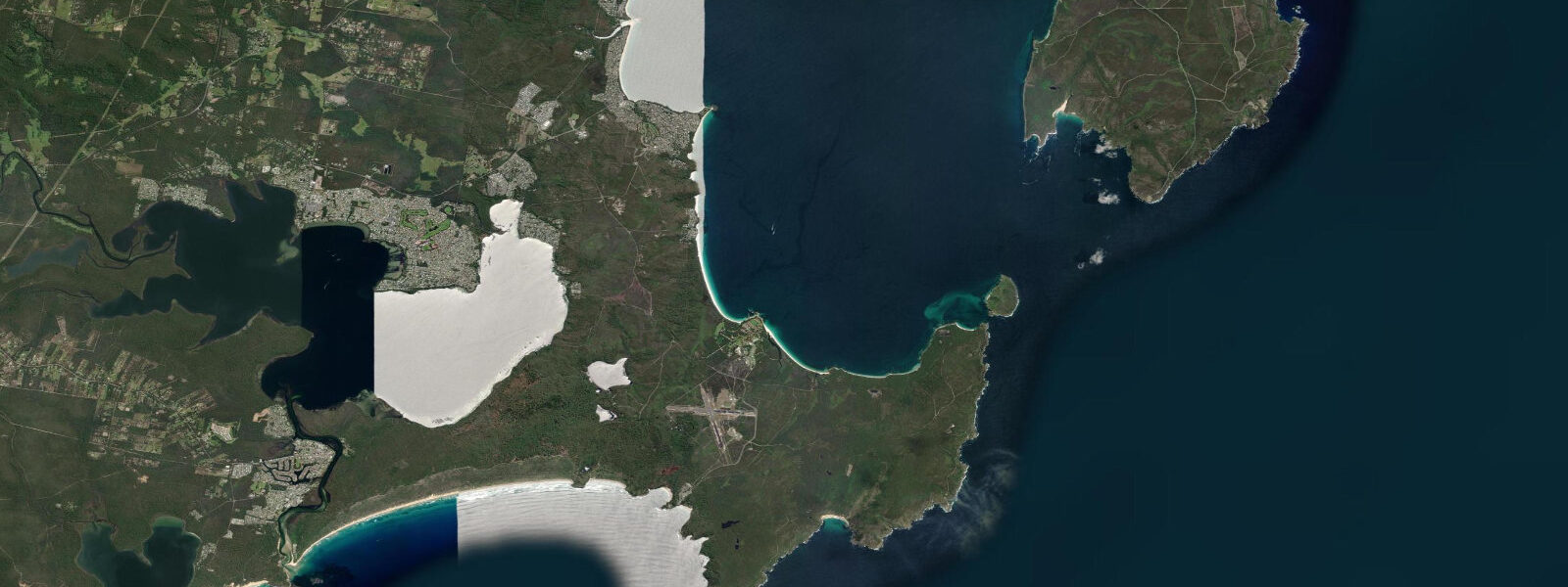
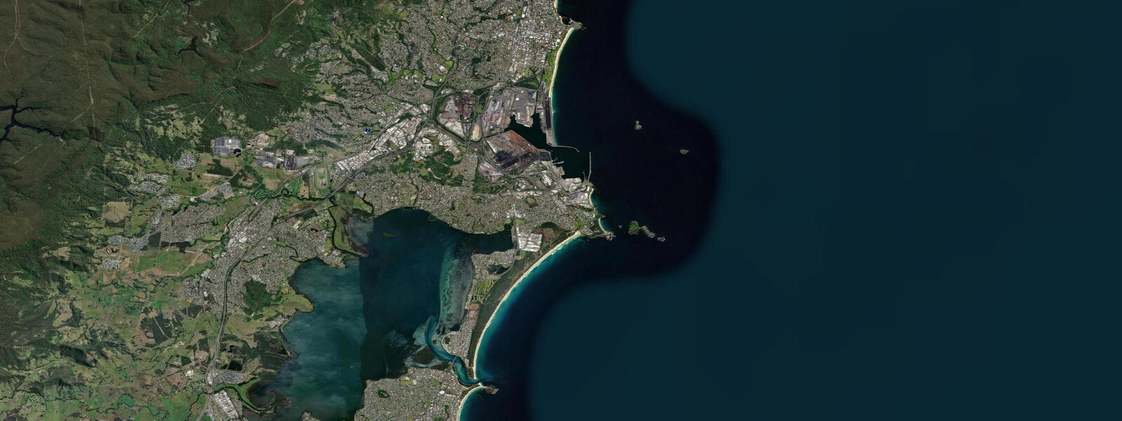
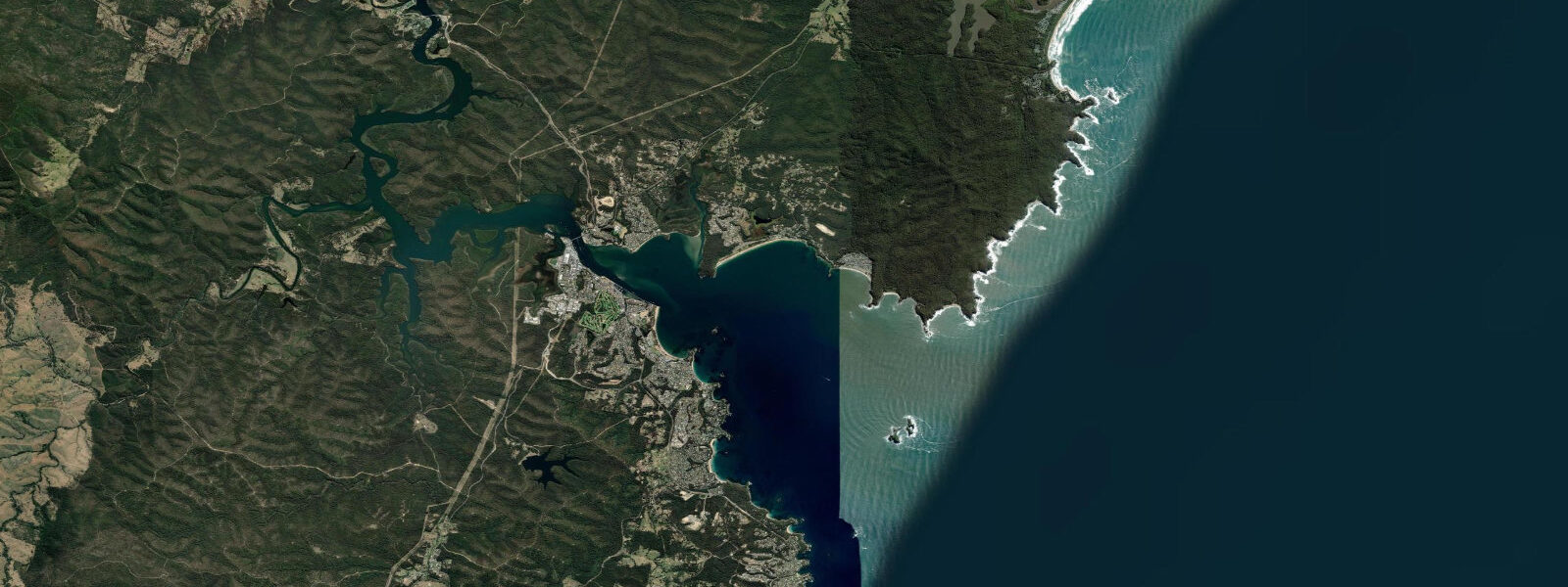
Other spots nearby
The three closest curated TideTurtle locations to Jervis Bay, measured by great-circle distance.
Today's solunar windows
Solunar tradition: major periods are the ≈3h windows around moon transit and opposition; minor are ≈2h around moonrise and moonset. Pair with the local tide stage and wind for the best read.
Cycle dates near Jervis Bay
Last spring tide on Fri 19 Jun (range 1.4m). Next spring tide on Thu 25 Jun (range 0.9m). Next neap on Mon 22 Jun.
Spring tides cluster around new and full moons (biggest swings). Neap tides land on quarter moons (smallest swings). See the spring tide and neap tide glossary entries for the why.
About tides at Jervis Bay
A short guide to the coastline at Jervis Bay — geography, sea state, and what the tide is actually doing under your feet.
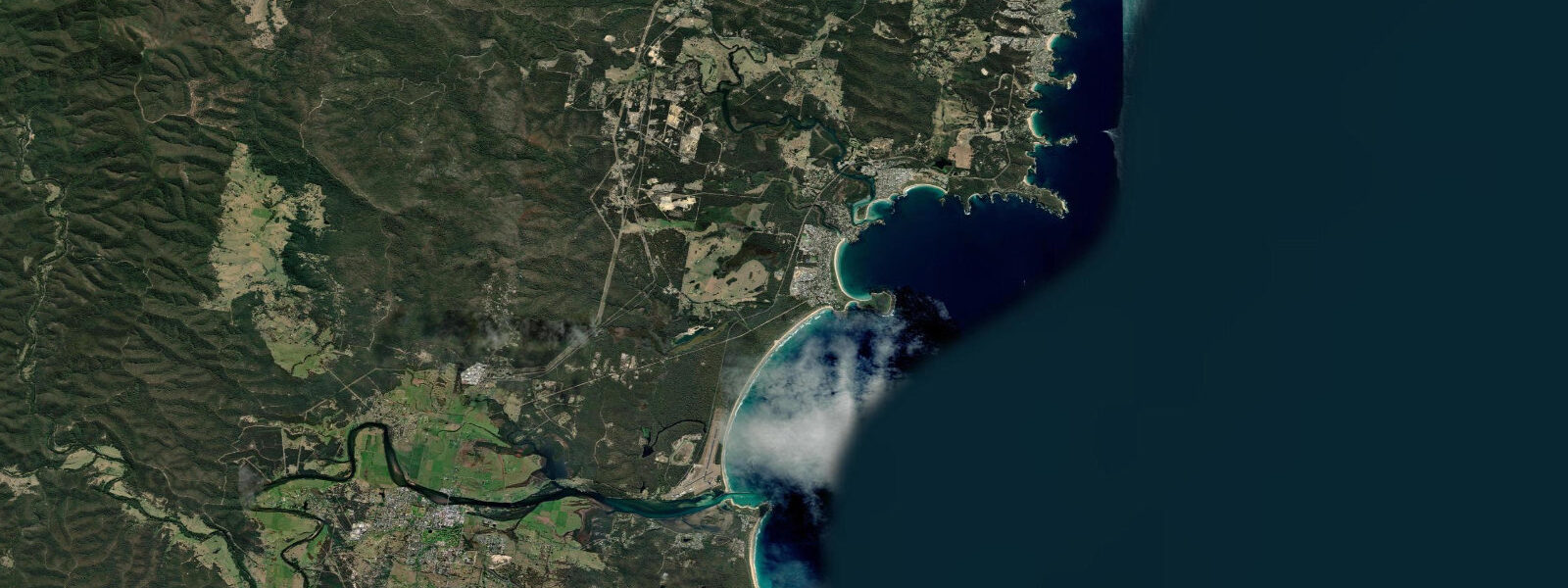
Jervis Bay is a drowned river valley on the NSW south coast where the sand is so white — quartz particles ground fine enough to be nearly powder — that the US Navy once evaluated it as a radar reflector. The Guinness World Records book listed it as the whitest sand in the world (the claim is contested, but the sand is genuinely remarkable). The bay is divided between Jervis Bay Marine Park, a NSW state marine protected area, and Booderee National Park, a Commonwealth territory managed by the Wreck Bay Aboriginal Community.
Tidal range at Jervis Bay is 1.0 to 1.5 metres at springs. The bay opening faces northeast, providing moderate shelter from prevailing south and southeast swells; the inner bay beaches (Greenfield, Murrays, Callala) are calm and suited to snorkelling and swimming at all tide stages. The outer beaches near the entrance (Hyams, Chinamans) face more open water and get occasional swell. The bay's clear water — visibility commonly exceeds 15 metres — reflects the protected status of the marine park and the low-turbidity conditions created by the quartz sand substrate.
Dolphin watching is the consistent wildlife experience: a resident pod of 80–100 bottlenose dolphins uses the bay year-round, and sightings are reliable from charter boat tours that operate without harassing the animals. Humpback whales pass the bay entrance from June through November. Little penguins (the world's smallest penguin species) nest on the rocks near Bowen Island at the northern entrance and are visible at dusk from guided tours on Greenpatch beach.
The snorkelling is exceptional for a mainland Australian location. Murrays Beach within the marine park has a marked snorkel trail with fixed floats over seagrass and rocky reef; seahorses, weedy sea dragons, octopus, and blue-groper are the regular sightings. The protected status means fish density is noticeably higher than unprotected reefs of similar character. The Dent Island outer reef sites, accessed by boat, have deeper water (10–20 metres) with larger species.
Hyams Beach — the settlement on the inner southwest bay — is the most visited point. The beach village has a general store, a scattering of holiday houses, and the sand that appears in every Jervis Bay photograph. It is heavily used on summer weekends; early morning (before 08:00) or weekday visits in peak season are the practical alternative. Booderee National Park entry requires a daily fee, payable at the entrance station on Jervis Bay Road.
Predictions on this page come from Open-Meteo Marine, a gridded global ocean model. Accuracy is typically within plus or minus 45 minutes on timing and 0.2 to 0.3 metres on height — model-derived, not from a local gauge. For authoritative Australian tide data, consult the Bureau of Meteorology (BOM).
Tide questions about Jervis Bay
Quick answers to the most common questions about tide times, range, and water access at Jervis Bay.
What is the tidal range at Jervis Bay?
Spring tidal range at Jervis Bay is 1.0 to 1.5 metres. The inner bay beaches are sheltered and the tidal change is gradual rather than dramatic. Tidal state is most relevant for snorkelling at Murrays Beach — the marked snorkel trail is most accessible at mid-to-high tide when more of the reef is covered. The bay entrance on Hyams Beach side exposes rocky platforms at low tide that are worth walking.
Is the sand at Hyams Beach really the whitest in the world?
The claim appears in Guinness World Records editions from the 1980s and is frequently repeated. The sand is ground quartz — almost pure silica — eroded from the surrounding sandstone escarpments and extremely fine. It is genuinely white in a way that makes other NSW beaches look cream-coloured by comparison. Whether it is objectively the world's whitest is impossible to verify scientifically, but it is exceptional and the photographs are not exaggerated.
Can I see dolphins at Jervis Bay?
Very likely. A resident pod of 80–100 common bottlenose dolphins uses the bay year-round. Sightings are not guaranteed but are frequent — the pod is seen on the majority of boat tours. Dolphin Swim Australia runs swims (with the dolphins present rather than targeted) and boat tours from Huskisson. The resident pod is studied by researchers from Macquarie University; the individual animals are known and named.
Where do I go for snorkelling in Jervis Bay?
Murrays Beach, inside Booderee National Park, has a designated snorkel trail with floating markers over seagrass beds and rocky reef. No boat required — wade in from the beach. Common sightings include weedy sea dragons, seahorses, octopus, and blue groper. Visibility often exceeds 15 metres. Booderee entry fee applies. Outside the park, the Husky rocks area near Huskisson is accessible without a fee and has rocky reef fish life.
When do penguins return to Bowen Island?
Little penguins (Eudyptula minor) are present at the Bowen Island colony year-round but return to their burrows at dusk throughout the breeding season (June–January). Guided evening walks depart from Greenpatch camping area; guided access is managed to avoid nest disturbance. Unguided visits to the island are not permitted. Bookings through Booderee National Park are required for the guided penguin tours.
8-day tide table — Jervis Bay
Heights relative to MSL. Predictions: Open-Meteo Marine (MeteoFrance SMOC, 0.08° grid) — heights relative to MSL (not chart datum / LAT). Model-derived.
| Day | Type | Time | Height |
|---|---|---|---|
| Fri 19 Jun | Low | 17:00 | -0.2m |
| High | 23:18 | 0.9m | |
| Sat 20 Jun | Low | 06:16 | -0.5m |
| Sun 21 Jun | High | 00:12 | 0.7m |
| Low | 07:00 | -0.5m | |
| High | 13:25 | 0.6m | |
| Low | 19:12 | -0.1m | |
| Mon 22 Jun | High | 01:12 | 0.6m |
| Low | 07:46 | -0.4m | |
| High | 14:24 | 0.6m | |
| Low | 20:22 | -0.1m | |
| Tue 23 Jun | High | 15:16 | 0.6m |
| Wed 24 Jun | Low | 09:15 | -0.3m |
| High | 16:00 | 0.7m | |
| Low | 22:38 | -0.2m | |
| Thu 25 Jun | High | 04:07 | 0.3m |
| Low | 10:03 | -0.3m | |
| High | 16:42 | 0.7m | |
| Fri 26 Jun | Low | 09:00 | -0.2m |