Byron Bay tide times
Byron Bay tide forecast — heights relative to MSL.
Today's tide times for Byron Bay
Tide times at Byron Bay on Friday, 19 June 2026: first high tide at 11:02, first low tide at 16:34, second high tide at 23:15. Sunrise 06:37, sunset 16:56.
Tide chart for Byron Bay
24-hour cosine-interpolated curve around the present moment. Heights relative to MSL. Predictions: Predictions: Open-Meteo Marine (MeteoFrance SMOC, 0.08° grid).
Sun, moon and conditions on Fri 19 Jun
Snapshot at build time — refreshes daily. Sea state from Open-Meteo Marine.
Highs and lows next 7 days
Every predicted high and low for the next week, with the daily tidal coefficient (0–120; higher = bigger swing, > 95 means stronger currents).
Other spots nearby
The three closest curated TideTurtle locations to Byron Bay, measured by great-circle distance.

Today's solunar windows
Solunar tradition: major periods are the ≈3h windows around moon transit and opposition; minor are ≈2h around moonrise and moonset. Pair with the local tide stage and wind for the best read.
Cycle dates near Byron Bay
Last spring tide on Fri 19 Jun (range 1.5m). Next spring tide on Thu 25 Jun (range 1.1m). Next neap on Mon 22 Jun.
Spring tides cluster around new and full moons (biggest swings). Neap tides land on quarter moons (smallest swings). See the spring tide and neap tide glossary entries for the why.
About tides at Byron Bay
A short guide to the coastline at Byron Bay — geography, sea state, and what the tide is actually doing under your feet.
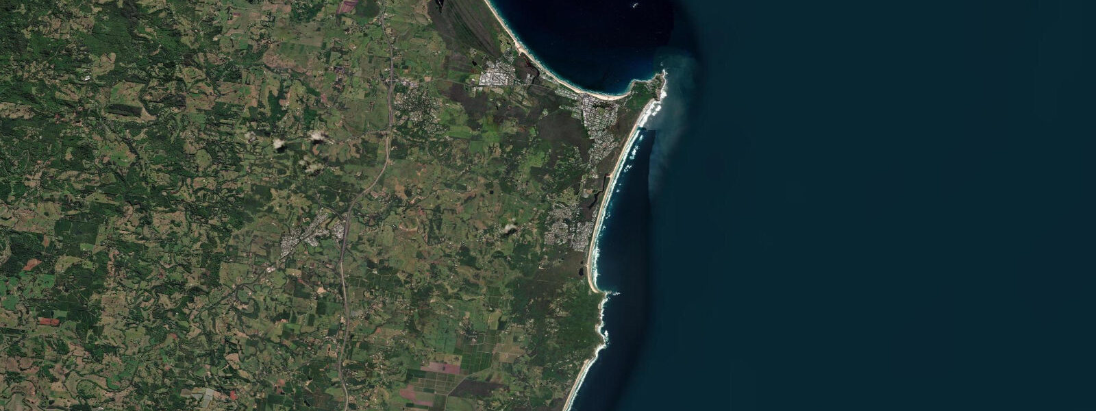
Byron Bay sits on the most easterly point of mainland Australia — Cape Byron — and the sunrise here is the first on the continent on every day of the year. That geography produces the particular quality of morning light that turned a small 1970s counterculture town into one of the most photographed places in the country. The lighthouse on the cape has been operating since 1901, and the walk from the town beach to the lighthouse (3.5 km one way) gives you the full picture: beach, headland, open ocean, and the kind of view that makes the real-estate prices make sense.
Tidal range at Byron Bay is 1.2 to 1.8 metres at springs — the NSW coast is mid-range tidal, enough to matter for surf planning and beach access but not the dramatic tide-dependent territory of the north Queensland or WA coasts. Main Beach, the central beach in front of the town, is a beach break that responds to east and northeast swell; the Pass, on the north side of the cape, is a right-hander in the shelter of the headland that fires on northeast swell and is the prestige wave in the Byron area. Watego's beach, tucked inside the cape itself, is the most sheltered option.
The surf at Byron Bay has produced a disproportionate number of professional surfers, including Mark Occhilupo, who grew up in the area and counts Byron among the places that shaped his surfing. The Pass and the Main Beach are intermediate-friendly on smaller swells; Tallows Beach on the south side of the cape is more exposed and produces longer, more powerful waves. The Byron Bay Surf Festival runs annually and concentrates activity around the main breaks.
Snorkelling and scuba diving from the Julian Rocks marine reserve, 2.5 kilometres offshore, is the main diving draw. The reserve sits in a mixing zone where tropical and temperate currents meet, producing unusual biodiversity: leopard sharks rest on the sandy bottom at 10 metres, grey nurse sharks aggregate at the deeper sections (18–22 metres), loggerhead turtles are regularly encountered, and the fish diversity reflects both the tropical Coral Sea current from the north and the cooler Tasman water from the south. Dive operators run two-tank trips from the main beach.
The hinterland behind Byron Bay — the caldera townships of Mullumbimby, Federal, Bangalow, and Nimbin — provides the cultural geography that made Byron Bay what it is. The farmers' markets (Byron market on Thursday, Mullumbimby on Friday) supply the cafe and restaurant scene. The Brunswick Heads estuary, 15 kilometres north, is a working fishing town that provides the same coast with a fraction of the tourist pressure.
Predictions on this page come from Open-Meteo Marine, a gridded global ocean model. Accuracy is typically within plus or minus 45 minutes on timing and 0.2 to 0.3 metres on height — model-derived, not from a local gauge. For authoritative Australian tide data, consult the Bureau of Meteorology (BOM).
Tide questions about Byron Bay
Quick answers to the most common questions about tide times, range, and water access at Byron Bay.
What is the tidal range at Byron Bay?
Byron Bay has a spring tidal range of 1.2 to 1.8 metres — mid-range for the NSW coast. Tidal state matters for surf: the Pass right-hander is generally better at mid-tide, and the Main Beach beach break can close out at high tide on larger swells. Low tide exposes more of the rock platforms around Cape Byron, making the headland walk more dramatic and snorkel access to some reef sections easier.
What is the best surf break at Byron Bay?
The Pass, a right-hand point break on the north side of Cape Byron, is the prestige wave — long, rideable walls on northeast swell, best at mid-tide. It is an intermediate to advanced break that gets competitive in peak season. Main Beach (beach break, more forgiving) suits beginners on small swells. Tallows Beach on the south side of the cape is more powerful and exposed, best on south and southeast swells.
Is diving at Julian Rocks worth the trip?
Yes — Julian Rocks (Nguthungulli) is exceptional for a day-dive destination. Grey nurse sharks aggregate at 18–22 metres from May through November; leopard sharks rest on the sandy bottom at 10 metres year-round; loggerhead and hawksbill turtles are regularly seen. The mixing of tropical and temperate currents creates unusual fish diversity. Dive operators run morning trips from town. Snorkelling is possible on the shallower sections (from about 3 metres) in calm conditions.
Can I walk to the Cape Byron lighthouse?
Yes. The most used route is from the north end of Main Beach carpark (past Clarkes Beach and The Pass), following the coastal boardwalk to the lighthouse: approximately 3.5 km one way, allow 60–90 minutes. The lighthouse is operational and open for tours. The walk back offers a view of Watego's Beach below the cape. An alternative shorter approach from the lighthouse carpark (accessible by road, paid parking) takes about 10 minutes on foot.
What is the water temperature at Byron Bay by season?
Sea temperature ranges from 19–20°C in July–August to 26–27°C in January–February. A 3mm wetsuit suits most people from May through October; boardshorts and a rash vest are sufficient November through April. The mixing currents from Julian Rocks mean conditions can be cooler on the outer reef than at the beaches. Grey nurse shark aggregations at the Rocks peak in the cooler months (May–November), which is also the best diving visibility window.
8-day tide table — Byron Bay
Heights relative to MSL. Predictions: Open-Meteo Marine (MeteoFrance SMOC, 0.08° grid) — heights relative to MSL (not chart datum / LAT). Model-derived.
| Day | Type | Time | Height |
|---|---|---|---|
| Fri 19 Jun | High | 11:02 | 0.6m |
| Low | 16:34 | -0.2m | |
| High | 23:15 | 1.2m | |
| Sat 20 Jun | Low | 06:06 | -0.3m |
| High | 12:02 | 0.6m | |
| Low | 17:35 | -0.1m | |
| Sun 21 Jun | High | 00:04 | 1.0m |
| Low | 06:57 | -0.3m | |
| High | 13:02 | 0.6m | |
| Low | 18:45 | -0.0m | |
| Mon 22 Jun | High | 00:55 | 0.9m |
| Low | 07:40 | -0.3m | |
| High | 14:08 | 0.7m | |
| Low | 19:54 | 0.1m | |
| Tue 23 Jun | High | 01:51 | 0.8m |
| Low | 08:24 | -0.2m | |
| High | 15:08 | 0.8m | |
| Low | 21:03 | 0.1m | |
| Wed 24 Jun | High | 02:45 | 0.7m |
| Low | 09:06 | -0.2m | |
| High | 16:00 | 0.9m | |
| Low | 22:16 | 0.1m | |
| Thu 25 Jun | High | 03:48 | 0.6m |
| Low | 09:46 | -0.1m | |
| High | 16:47 | 1.1m | |
| Low | 23:18 | 0.1m | |
| Fri 26 Jun | High | 04:36 | 0.6m |
| Low | 09:00 | -0.0m |