Pinamar, Buenos Aires Province tide times
Pinamar, Buenos Aires Province tide forecast — heights relative to MSL.
Today's tide times for Pinamar, Buenos Aires Province
Tide times at Pinamar, Buenos Aires Province on Friday, 19 June 2026: first low tide at 05:33, first high tide at 10:06, second low tide at 16:54, second high tide at 22:50. Sunrise 08:00, sunset 17:37.
Tide chart for Pinamar, Buenos Aires Province
24-hour cosine-interpolated curve around the present moment. Heights relative to MSL. Predictions: Predictions: Open-Meteo Marine (MeteoFrance SMOC, 0.08° grid).
Sun, moon and conditions on Fri 19 Jun
Snapshot at build time — refreshes daily. Sea state from Open-Meteo Marine.
Highs and lows next 7 days
Every predicted high and low for the next week, with the daily tidal coefficient (0–120; higher = bigger swing, > 95 means stronger currents).
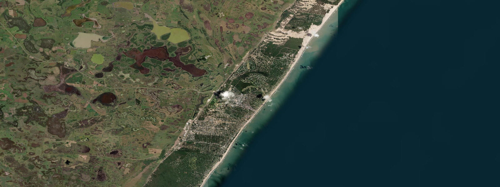
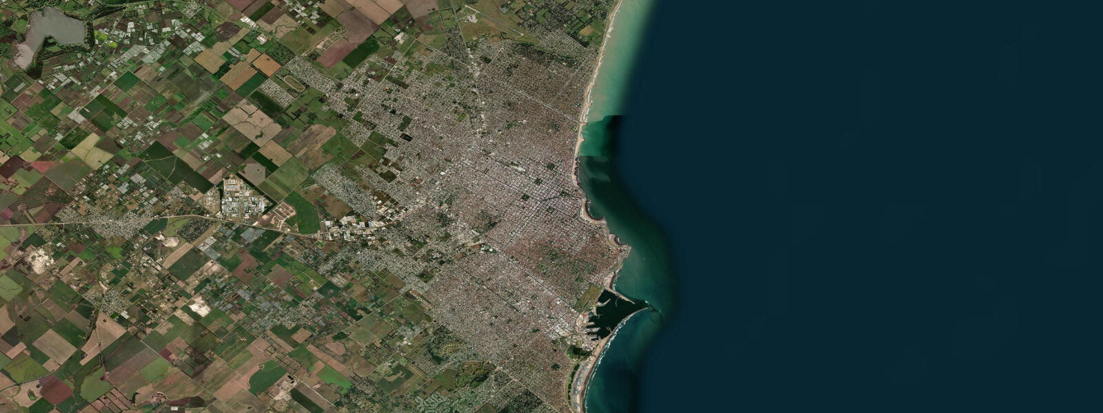
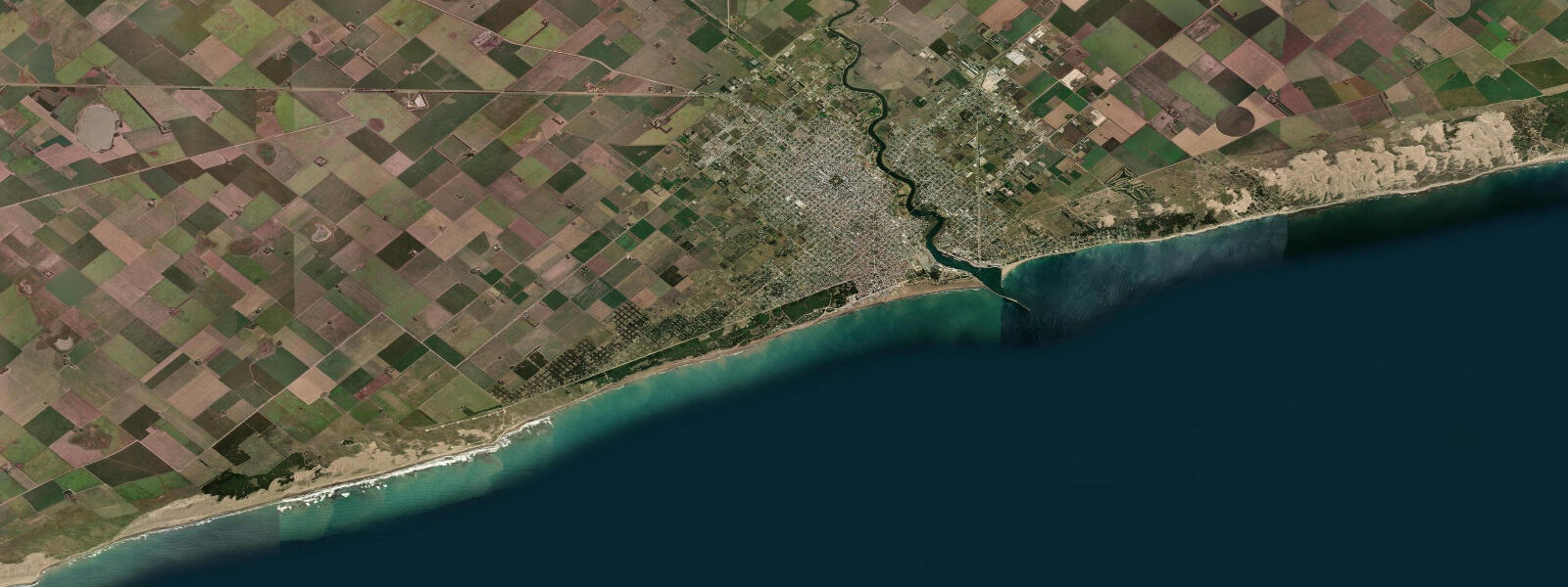
Other spots nearby
The three closest curated TideTurtle locations to Pinamar, Buenos Aires Province, measured by great-circle distance.
Today's solunar windows
Solunar tradition: major periods are the ≈3h windows around moon transit and opposition; minor are ≈2h around moonrise and moonset. Pair with the local tide stage and wind for the best read.
Cycle dates near Pinamar, Buenos Aires Province
Next spring tide on Fri 19 Jun (range 1.8m). Next neap on Sun 21 Jun.
Spring tides cluster around new and full moons (biggest swings). Neap tides land on quarter moons (smallest swings). See the spring tide and neap tide glossary entries for the why.
About tides at Pinamar, Buenos Aires Province
A short guide to the coastline at Pinamar, Buenos Aires Province — geography, sea state, and what the tide is actually doing under your feet.
Pinamar is a beach resort town 340 kilometres south of Buenos Aires on the Atlantic coast of Buenos Aires Province, notable for something no other Argentine beach town has: it was designed in full before it existed. In the 1940s, architect Jorge Bunge laid out a master plan with curving streets through a coastal pine forest that had been planted in the late 19th century specifically to stabilise the dune system. The result is a town where Parque Pinamar — 6 kilometres of maritime pine forest extending up to 1 kilometre inland — forms the green structure of the entire settlement, with houses and streets fitted into the trees rather than the trees planted around the streets.
The Atlantic tidal regime here is semidiurnal with a mean spring range of 0.8 to 1.5 metres, relatively modest for an Atlantic coast. The shallow continental shelf geometry of the Buenos Aires Province coastline dampens tidal amplitude significantly compared to Patagonian or estuary-influenced locations. A typical spring tide moves from about 0.2 m at low to 1.3 m at high. The practical consequence for beach activities is a width difference of 20 to 40 metres between low and high spring water — enough to matter for set-up, but nothing like the dramatic beach exposure seen at northeast Brazil or Patagonian sites. At low water the beach is at its widest and the intertidal slope is at its shallowest, producing a long shallow-water run that makes safe entry for children and paddlers straightforward.
Surf at Pinamar is Atlantic, arriving from the south and southwest — swells generated by extratropical low-pressure systems tracking northeast from the Patagonian and South Atlantic systems. Summer (December through February) is the lightest swell period; autumn and winter (April through August) see the most consistent south and southwest swells, with wave heights of 1 to 2 metres on the better days. The beach breaks at Pinamar work at mid to low tide; high water pushes the break close to the top of the beach and reduces rideable wave face.
Anglers fish the beach for corvina negra (Pogonias cromis, the black drum) and brótola (a bottom-dwelling cod relative) using long-distance beach casting rigs. Corvina are the primary target — they run close inshore on the incoming tide, particularly in autumn (March through June) when water temperatures drop to the 12 to 16°C range that corvina prefer. The technique is a long-distance cast (60 to 100 metres) with a bottom rig, letting the bait settle in the surf zone and waiting for the run. The last two hours of the flood and the first hour of the ebb produce the most consistent take.
Cariló, 10 kilometres north of Pinamar, is within the same pine forest system — another master-planned beach enclave, smaller and more expensive than Pinamar, with a reputation as the preferred destination for Buenos Aires affluent families (porteños). Cariló has no public beach access in the Argentine sense — the beach is technically public, but the access routes through the private properties make it effectively restricted. Mar de las Pampas, the village between Pinamar and Cariló, is smaller still and quieter in both atmosphere and vehicle traffic.
The Médano Blanco dune system sits south of Pinamar town, outside the pine forest, and includes the largest móvil (actively migrating) dune in Buenos Aires Province. The dune migrates northward under the dominant south wind at a rate of a few metres per year, and its advance has been monitored for decades. Walking the dune system is the main inland activity south of town. The dune face to the sea at Médano Blanco is accessible at low water when the beach below it is widest.
Jorge Bunge's street plan is still visible in Pinamar's layout — the curved roads, the setbacks into the trees, the lack of a grid. It is one of the few Argentine beach towns that reads as designed rather than accumulated. The architecture within the plan is variable, ranging from original mid-century houses to more recent builds, but the pine forest structure Bunge used as the organising principle remains intact and is protected by municipal regulation.
Tide data for Pinamar, Buenos Aires Province comes from the Open-Meteo Marine API, a gridded model product. Timing accuracy is ±45 minutes, height accuracy ±0.3 m — usable for trip planning, not for navigation.
Tide questions about Pinamar, Buenos Aires Province
Quick answers to the most common questions about tide times, range, and water access at Pinamar, Buenos Aires Province.
What is the tidal range at Pinamar and how does it affect the beach?
Mean spring tidal range at Pinamar is 0.8 to 1.5 metres — small by Atlantic standards, a consequence of the wide, shallow continental shelf of Buenos Aires Province that reduces tidal amplitude. A typical spring cycle moves from 0.2 m at low to 1.3 m at high. The beach width difference between low and high spring water is 20 to 40 metres. At low water the beach is at its widest and the entry slope is shallowest, making it the better state for children's play, beach tent set-up away from the surf, and paddle boarding from the shore. Surf breaks work better at mid to low water when the wave has more beach face to run across.
When is the best time to fish for corvina negra from Pinamar beach?
Corvina negra (black drum, Pogonias cromis) run close inshore at Pinamar during autumn, March through June, when sea temperatures drop to the 12 to 16°C range these fish prefer. The most productive tidal window is the last two hours of the flood and the first hour of the ebb — corvina push into the surf zone on the incoming water. Long-distance beach casting with a bottom rig (squid and artificial lure combinations both work) at 60 to 100 metres from the dry sand. Dawn and dusk are consistently more productive than midday. A fishing licence is required; licences are available at local tackle shops in Pinamar town.
What is the Jorge Bunge architectural legacy in Pinamar?
Jorge Bunge drew the master plan for Pinamar in the 1940s, using the existing pine forest (planted in the late 1800s to fix the coastal dunes) as the structural framework for the town. His plan specified curved streets that followed the dune contours rather than imposing a grid, mandatory setbacks to keep buildings within the tree canopy, and protected forest corridors running from the inland edge to the beach. Parque Pinamar, the 6-kilometre coastal forest that forms the town's spine, is a direct result. Municipal regulations still protect the tree cover. The contrast with most Argentine coastal towns — which grew organically and clear-cut their dunes — is immediately visible on approach.
How does Cariló compare to Pinamar, and is it worth visiting?
Cariló is 10 kilometres north of Pinamar within the same pine forest belt, smaller, quieter, and more expensive — it attracts upper-income porteño families and has a more exclusive character. There are no chain hotels or loud beach bars. The beach access through Cariló's private road network is technically public but practically restricted, giving the beach a much lower density than Pinamar even in peak season. Mar de las Pampas, the village between them, is quieter still with a cluster of design guesthouses and almost no nightlife. If you want Pinamar's beach infrastructure and facilities, stay in Pinamar. If you want space and quiet, base yourself in Cariló or Mar de las Pampas.
What is the Médano Blanco dune system south of Pinamar?
Médano Blanco is an active dune system immediately south of Pinamar town, outside the protected pine forest zone. It contains the largest móvil (freely migrating) dune in Buenos Aires Province — a shifting sand formation that advances northward under the dominant south wind at a measurable rate each year. The dune face drops to the beach and is accessible at low water on spring tides when the beach below it is at its widest. Walking and mountain biking tracks run through the dune system; there are no facilities. The dune is most visually dramatic in the late afternoon when the low sun creates strong shadow definition across the ridges.
7-day tide table — Pinamar, Buenos Aires Province
Heights relative to MSL. Predictions: Open-Meteo Marine (MeteoFrance SMOC, 0.08° grid) — heights relative to MSL (not chart datum / LAT). Model-derived.
| Day | Type | Time | Height |
|---|---|---|---|
| Fri 19 Jun | Low | 05:33 | -0.4m |
| High | 10:06 | 0.3m | |
| Low | 16:54 | -0.1m | |
| High | 22:50 | 1.1m | |
| Sat 20 Jun | Low | 06:58 | -0.6m |
| High | 10:52 | -0.1m | |
| Low | 17:50 | -0.7m | |
| Sun 21 Jun | — | ||
| Mon 22 Jun | High | 13:50 | 0.3m |
| Low | 20:03 | -0.2m | |
| Tue 23 Jun | High | 02:35 | 0.8m |
| Low | 21:40 | -0.2m | |
| Wed 24 Jun | High | 03:03 | 0.5m |
| Low | 10:34 | -0.4m | |
| Thu 25 Jun | High | 04:12 | 0.4m |
| Low | 11:10 | -0.2m | |