Spanish Point, Barbuda tide times
Spanish Point, Barbuda tide forecast — heights relative to MSL.
Tide chart for Spanish Point, Barbuda
24-hour cosine-interpolated curve around the present moment. Heights relative to MSL. Predictions: Predictions: Open-Meteo Marine (MeteoFrance SMOC, 0.08° grid).
Sun, moon and conditions on Sat 04 Jul
Snapshot at build time — refreshes daily. Sea state from Open-Meteo Marine.
Highs and lows next 7 days
Every predicted high and low for the next week, with the daily tidal coefficient (0–120; higher = bigger swing, > 95 means stronger currents).
Other spots nearby
The three closest curated TideTurtle locations to Spanish Point, Barbuda, measured by great-circle distance.
Today's solunar windows
Solunar tradition: major periods are the ≈3h windows around moon transit and opposition; minor are ≈2h around moonrise and moonset. Pair with the local tide stage and wind for the best read.
About tides at Spanish Point, Barbuda
A short guide to the coastline at Spanish Point, Barbuda — geography, sea state, and what the tide is actually doing under your feet.
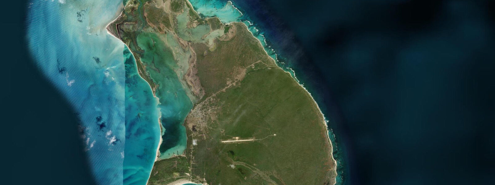
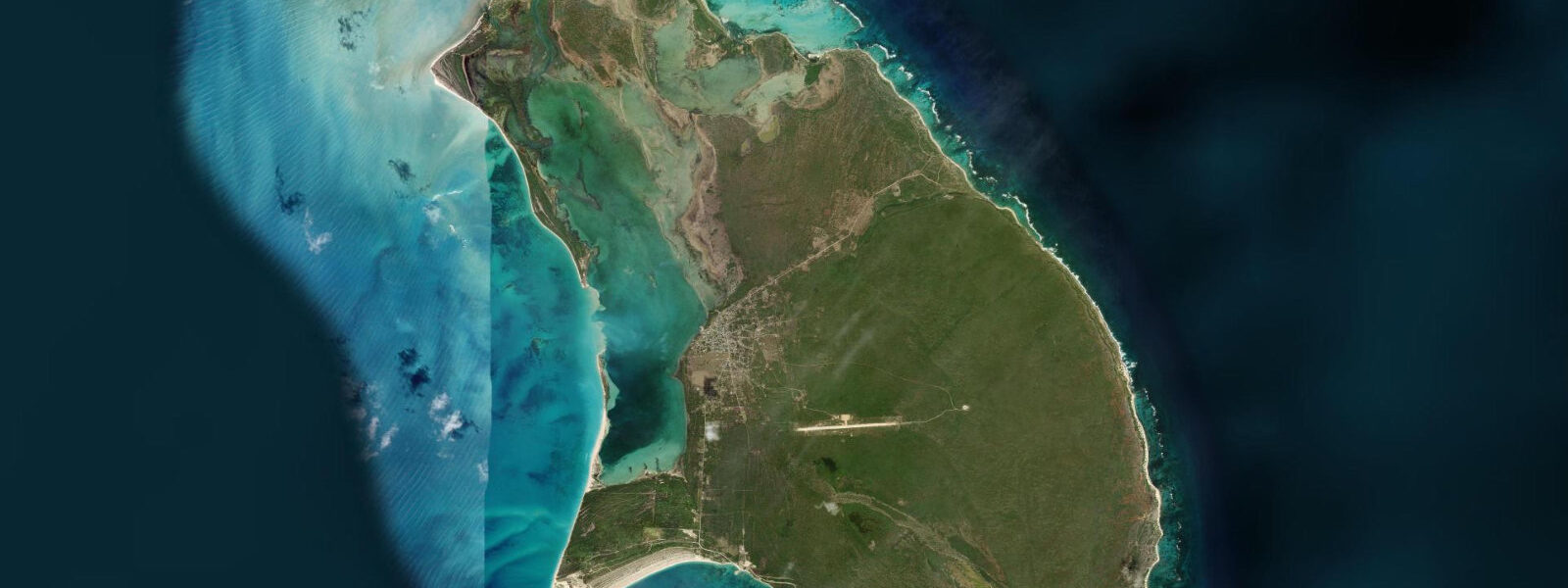
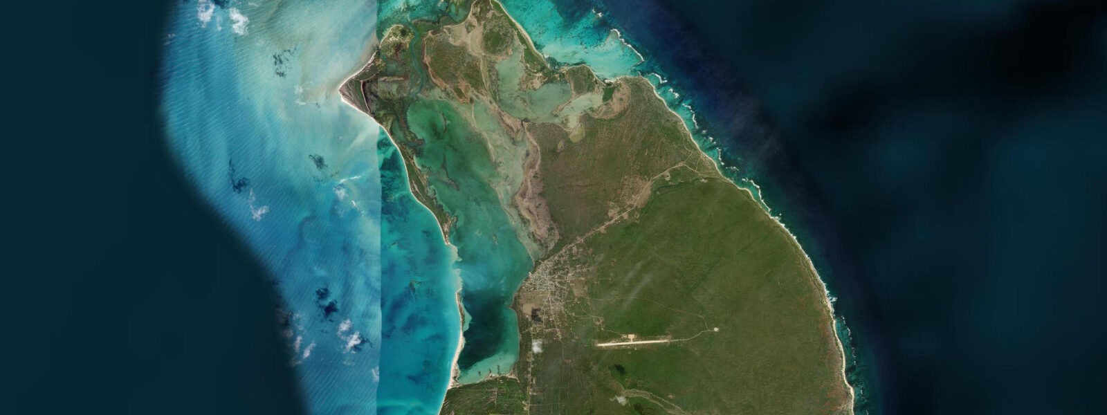
Spanish Point occupies the northeastern tip of Barbuda, where the island's flat limestone platform meets the Atlantic without the gradual approach of the western Caribbean shore. The headland is low — the highest ground on Barbuda barely reaches 44 metres, and the point itself is at sea level — but it catches the full force of the northeast trades and the Atlantic swell that builds unchecked from further north. The shoreline here is ironshore: wave-eroded limestone with sharp edges, undercut ledges, and a texture that makes casual walking along the tideline a technically demanding exercise that requires appropriate footwear.
The tidal regime at Spanish Point is mixed semidiurnal, with a spring range approaching 0.5 to 0.7 metres — slightly larger than the sheltered western shore because the Atlantic-facing coast receives the full Atlantic tidal signal. The change between a spring high and a spring low exposes significant sections of the ironshore platform, and the channels and pools that drain as the water recedes hold small fish, urchins, and the invertebrate life typical of Atlantic Caribbean reef edges. The best exploration window runs from one hour before predicted low to one hour after; outside that window the platform is awash and inaccessible.
Two-Foot Bay, a short distance south of Spanish Point along the northeast coast, is a notable feature: a semi-enclosed sandy cove cut into the ironshore, with a natural rock arch at its northern end that is one of the most photographed features on the island. The bay is accessible only on foot or by boat; the track from Codrington takes roughly 40 minutes. The arch is best photographed from inside the bay looking outward, in the morning when the sun comes from behind the viewer. At low tide the sandy bottom of Two-Foot Bay is fully visible through the clear water, and the enclosed shape makes it a calm swimming spot despite the Atlantic exposure immediately outside.
The northeast coast between Spanish Point and Two-Foot Bay also holds the ruins of a colonial-era signal tower and several historical traces of Barbuda's pre-twentieth century history. The island was held by the Codrington family under a lease from the English Crown from 1685 to 1870, and the northeast coast has archaeological traces of this period. The Barbuda Council manages access to historical sites.
From Spanish Point itself, the view northeast takes in open ocean toward Antigua's outlying rocks. On a clear day the silhouette of Antigua's mountains is visible to the southeast, approximately 50 kilometres distant. The bird life on the ironshore coast includes brown pelicans working the tideline, magnificent frigate birds soaring the thermals above the point, and various shorebirds feeding the exposed platform at low water.
For anglers, the ironshore channels at Spanish Point hold snapper and barracuda, accessible by casting from the platform at low water. The incoming tide moving over the platform edge brings predatory fish with it; the first two hours of the flood are the primary fishing window.
Tide predictions for Spanish Point come from Open-Meteo Marine, a global gridded ocean model. Accuracy is typically within plus or minus 45 minutes on timing and 0.2 to 0.3 metres on height. Cross-reference with the low water time to plan platform access, and check the Atlantic swell forecast — a large northeast swell will override the tidal platform exposure window entirely.
The northeast coast's ironshore terrain is a specific landscape type that rewards exploration by those prepared for it. The formations are the product of wave erosion working on limestone over thousands of years, undercutting softer layers and leaving harder caps standing in mushroom and shelf shapes. The pools in the hollows hold their own ecosystems — sea urchins cleaning algae from the rock surfaces, small blennies holding position in the surge, and the occasional octopus visible in the deeper crevices at very low water.
The remoteness of Spanish Point is genuine. Barbuda's population is concentrated in Codrington; the northeast coast is empty of permanent settlement. This makes it one of the most isolated accessible coastlines in the eastern Caribbean, reachable by road (rough 4WD track) or by boat from the lagoon's north channel.
Tide questions about Spanish Point, Barbuda
Quick answers to the most common questions about tide times, range, and water access at Spanish Point, Barbuda.
What is Two-Foot Bay and how do I get there?
Two-Foot Bay is a small semi-enclosed cove cut into the ironshore limestone of Barbuda's northeast coast, a short walk south of Spanish Point. Its defining feature is a natural rock arch at the northern end of the bay, one of the most-photographed natural formations on the island. Access is on foot from Codrington — the track takes roughly 40 minutes — or by boat landing from the calm inner section of the bay at low tide. There is no road access. The bay is calm inside relative to the open Atlantic coast immediately outside; the sandy bottom is clearly visible in the clear water, and it is swimmable at low and mid tide. The arch is best photographed from inside the bay in morning light.
Is the tide range different on Barbuda's Atlantic coast vs the west coast?
Yes, slightly. The Atlantic-facing northeast coast, including Spanish Point, sees a spring range of roughly 0.5 to 0.7 metres because it receives the full Atlantic tidal signal without the sheltering effect of the Caribbean Sea. The western Low Bay coast is marginally smaller, typically 0.4 to 0.6 metres. Both are firmly microtidal. The more significant difference is the swell and wind exposure: the northeast coast faces the Atlantic trade wind swell directly, so the same tide height produces very different conditions to the calm western shore. Tide predictions come from Open-Meteo Marine — accuracy within plus or minus 45 minutes on timing and 0.2 to 0.3 metres on height.
When is the ironshore platform at Spanish Point walkable?
The ironshore platform at Spanish Point's tip exposes as the water drops toward low tide. The accessible window runs from approximately one hour before predicted low water to one hour after. On spring lows around new and full moons the platform drains further and more area is available. The ironshore surface is sharp and uneven — proper footwear (closed-toe, thick-soled) is essential, not optional. Check the Atlantic swell forecast alongside the tide time: a northeast swell above 1.5 metres will wash sections of the platform even during the low water window. The Barbados Meteorological Services swell forecast covers the eastern Caribbean.
What fish can I catch from the rocks at Spanish Point?
The ironshore channels and platform edges at Spanish Point hold snapper (yellowtail and mangrove), barracuda, and various jack species. Shore casting from the platform at low water is the primary technique; the incoming tide moving over the exposed platform edge brings predatory fish feeding into the channels. The first two hours of the flood tide is the most productive window. Appropriate footwear for ironshore is essential — ankle support and thick soles. No fishing licence is required for recreational shore fishing in Antiguan and Barbudan waters, but check current regulations before travel. Live bait or cut fish is the standard approach; artificial lures also work on barracuda.
How do I get to Spanish Point from Codrington?
Spanish Point is on Barbuda's northeast coast, approximately 7 kilometres from Codrington. There is no paved road to the point; the track is passable by 4WD in dry conditions but can become impassable after heavy rain. Most visitors arrange a guided 4WD excursion from Codrington, combining Spanish Point with Two-Foot Bay and the northeast coast. A few operators offer ATV excursions on the same route. Allow half a day for the combined trip. Boat access from the Codrington Lagoon is also possible via the north channel, though the Atlantic exposure on the open northeast coast limits landing conditions.
7-day tide table — Spanish Point, Barbuda
Heights relative to MSL. Predictions: Open-Meteo Marine (MeteoFrance SMOC, 0.08° grid) — heights relative to MSL (not chart datum / LAT). Model-derived.
| Day | Type | Time | Height |
|---|---|---|---|
| Sat 04 Jul | — | ||
| Sun 05 Jul | — | ||
| Mon 06 Jul | — | ||
| Tue 07 Jul | — | ||
| Wed 08 Jul | — | ||
| Thu 09 Jul | — | ||
| Fri 10 Jul | High | 18:00 | 0.4m |