English Harbour tide times
English Harbour tide forecast — heights relative to MSL.
Today's tide times for English Harbour
Tide times at English Harbour on Saturday, 27 June 2026: first low tide at 09:10am. Sunrise 05:36am, sunset 06:44pm.
Tide chart for English Harbour
24-hour cosine-interpolated curve around the present moment. Heights relative to MSL. Predictions: Predictions: Open-Meteo Marine (MeteoFrance SMOC, 0.08° grid).
Sun, moon and conditions on Sat 27 Jun
Snapshot at build time — refreshes daily. Sea state from Open-Meteo Marine.
Highs and lows next 7 days
Every predicted high and low for the next week, with the daily tidal coefficient (0–120; higher = bigger swing, > 95 means stronger currents).
Other spots nearby
The three closest curated TideTurtle locations to English Harbour, measured by great-circle distance.
Today's solunar windows
Solunar tradition: major periods are the ≈3h windows around moon transit and opposition; minor are ≈2h around moonrise and moonset. Pair with the local tide stage and wind for the best read.
About tides at English Harbour
A short guide to the coastline at English Harbour — geography, sea state, and what the tide is actually doing under your feet.
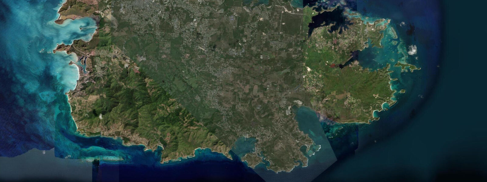
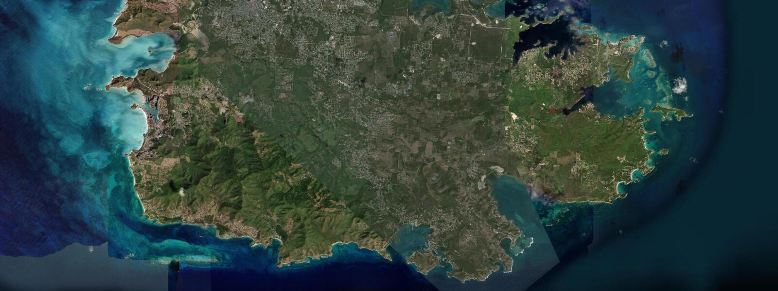
English Harbour is on the south coast of Antigua, a natural deep-water harbour enclosed so completely by the surrounding ridges that it has been described as the most protected anchorage in the Caribbean. The British Royal Navy recognised this in 1725 and built a dockyard here that served as their primary Caribbean base for over a century — the site where Admiral Nelson was stationed as a young captain in the 1780s, maintaining the Leeward Islands Squadron that protected British commercial interests in the sugar islands. The dockyard survives almost intact as Nelson's Dockyard, a UNESCO World Heritage Site since 2016, with Georgian naval architecture preserved at a scale unique in the Caribbean.
The tidal regime at English Harbour is Caribbean microtidal: mixed semidiurnal, spring range approximately 0.3 m. The enclosed geometry of the harbour amplifies the protection from swell rather than from tides — the outer breakwater and the surrounding ridges stop any ocean wave energy from reaching the inner anchorage regardless of tidal state. English Harbour is as calm at low tide as at high; the water level change of 0.3 m is invisible in a basin of this depth.
For the yachting world, English Harbour is the axis of the Caribbean sailing circuit. Antigua Sailing Week, held in late April–early May, brings 200–300 yachts to the island for one of the major offshore racing events in the world sailing calendar. The Antigua Classic Yacht Regatta precedes it in late April, focusing on traditional and gaff-rigged vessels. Between the two regattas, English Harbour has one of the most concentrated yacht racing cultures in the Caribbean, with race finishes taking place in the approaches to the harbour. Outside regatta season, the anchorage holds 50–100 yachts year-round — a mix of circumnavigators pausing, Caribbean circuit vessels waiting for weather, and long-stay cruisers who have based themselves here for years.
Nelson's Dockyard inside the harbour has museums, restaurants, boutique hotels, and a working boatyard that hauls and services yachts using a modern Travelift from the same quays where 18th-century frigates were careened. The Dockyard Museum, housed in the 1855 sail loft, documents the naval history of the site with considerable archival depth. The walk from the dockyard out through the Antigua National Park to Shirley Heights, the ridge above English Harbour, takes 40 minutes on a marked path and ends at the fort ruins and the viewpoint that looks south over the harbour entrance, Falmouth Harbour immediately to the west, and the open Caribbean beyond.
Falmouth Harbour, the adjacent bay 800 m west of English Harbour by road, is the larger anchorage and the site of the main charter yacht base and the annual Falmouth Harbour Beach Bar, which operates year-round for the yachting community. Falmouth also hosts the start and finish of Antigua Sailing Week's race fleet; the outer anchorage is where the spectator fleet positions. The two harbours function as a connected system — dinghies and water taxis run between them constantly during regatta season.
For snorkellers and divers, the reef structures on the exposed south coast headlands outside English Harbour — Rendezvous Bay to the west, Indian Creek to the east — provide reef terrain accessible by boat from the harbour. The south coast of Antigua faces the open Caribbean and receives more swell than the sheltered north; diving and snorkelling conditions are best April through June when the northeast trades moderate and visibility runs 20–25 m. Tidal current outside the harbour mouth runs 0.3–0.5 knots on spring tides.
Anglers fishing the English Harbour area work the reef structure along the south coast headlands on the ebb. The deeper water south and southeast of the headlands transitions quickly to oceanic depth, and offshore runs for tuna and marlin depart from Falmouth Harbour marina.
All tide predictions for English Harbour come from the Open-Meteo Marine gridded model. Timing accuracy is ±45 minutes; height accuracy is ±0.3 m above Chart Datum.
Tide questions about English Harbour
Quick answers to the most common questions about tide times, range, and water access at English Harbour.
Why is English Harbour considered the most protected anchorage in the Caribbean?
English Harbour's protection comes from its enclosed geography: the surrounding hills and headlands form a near-complete ring around the inner basin, blocking ocean swell from all directions. The narrow entrance channel can be closed with a boom or chain as an additional defence — the 18th-century Royal Navy did exactly this. No ocean swell reaches the inner anchorage regardless of the weather outside. This is structural protection, not tidal — the 0.3 m tidal range is irrelevant. The harbour is equally calm at high tide and low tide; what changes with the weather is conditions in the approaches, not inside.
What is Antigua Sailing Week, and when does it take place?
Antigua Sailing Week is one of the largest offshore yacht races in the Western Hemisphere, running in the last week of April and first days of May. It draws 200–300 yachts from around 30 countries, racing in multiple classes from performance multihulls to cruising yachts. The races run on the waters south and west of Antigua with starts and finishes visible from the Shirley Heights viewpoint above English Harbour. The social programme runs from English Harbour and Falmouth Harbour simultaneously. Accommodation on the island books out for this period. The Antigua Classic Yacht Regatta runs the preceding week, focusing on traditional wooden and gaff-rigged vessels.
What is Nelson's Dockyard, and is it open to non-sailors?
Nelson's Dockyard is an 18th-century Royal Navy dockyard at the head of English Harbour, a UNESCO World Heritage Site since 2016. The Georgian naval architecture — boat houses, the sail loft (now a museum), officer's quarters, capstans, and the pitch and tar store — is preserved largely intact from the era when the young Horatio Nelson was stationed here in the 1780s. Admission is charged at the gate. Non-sailors visit the dockyard as a historical site and as the base for the Shirley Heights ridge walk. Restaurants and a boutique hotel operate within the dockyard grounds. The working boatyard for modern yachts shares the same historic quays.
What is the view from Shirley Heights, and when is the best time to go?
Shirley Heights is the ridge above English Harbour, site of a 18th-century fort complex with cannon emplacements facing southeast over the harbour entrance and the open Caribbean. The view takes in English Harbour below, Falmouth Harbour to the west, and on clear days the islands of Montserrat and Guadeloupe to the south. The ridge is accessed by a 40-minute walk from the dockyard or by road to the upper parking area. Sunday evenings at Shirley Heights see a long-running barbecue and steel-band event (from approximately 16:00) that draws yachties, expats, and tourists for the combined view, music, and food. Check that the event is running before planning specifically around it.
Is English Harbour a hurricane hole?
English Harbour is one of the most established hurricane holes in the Caribbean — the enclosed geography that made it a Royal Navy base in the 18th century makes it viable for cyclone shelter. The basin can hold over 200 vessels. However, hurricane season preparation here requires advance mooring organisation, haul-out if the vessel is suitable, and storm lines anchored to the surrounding mangroves and stone rings provided by the National Parks. Most yachties on the Caribbean circuit who plan to remain in the region for hurricane season base themselves here or at Falmouth Harbour and begin preparation by early June. Nothing is entirely safe in a direct hit; English Harbour reduces risk but does not eliminate it.
7-day tide table — English Harbour
Heights relative to MSL. Predictions: Open-Meteo Marine (MeteoFrance SMOC, 0.08° grid) — heights relative to MSL (not chart datum / LAT). Model-derived.
| Day | Type | Time | Height |
|---|---|---|---|
| Sat 27 Jun | Low | 09:10 | 0.0m |
| Sun 28 Jun | — | ||
| Mon 29 Jun | — | ||
| Tue 30 Jun | High | 01:00 | 0.4m |
| Low | 10:50 | 0.1m | |
| Wed 01 Jul | High | 02:00 | 0.4m |
| Low | 11:10 | 0.1m | |
| Thu 02 Jul | — | ||
| Fri 03 Jul | High | 03:00 | 0.4m |
| Low | 12:00 | 0.1m | |
| High | 19:00 | 0.3m | |