Ghazaouet tide times
Ghazaouet tide forecast — heights relative to MSL.
Today's tide times for Ghazaouet
Tide times at Ghazaouet on Saturday, 4 July 2026: first low tide at 01:00am, first high tide at 06:45pm, second low tide at 11:50pm. Sunrise 05:57am, sunset 08:25pm.
Tide chart for Ghazaouet
24-hour cosine-interpolated curve around the present moment. Heights relative to MSL. Predictions: Predictions: Open-Meteo Marine (MeteoFrance SMOC, 0.08° grid).
Sun, moon and conditions on Sat 04 Jul
Snapshot at build time — refreshes daily. Sea state from Open-Meteo Marine.
Highs and lows next 7 days
Every predicted high and low for the next week, with the daily tidal coefficient (0–120; higher = bigger swing, > 95 means stronger currents).
Other spots nearby
The three closest curated TideTurtle locations to Ghazaouet, measured by great-circle distance.
Today's solunar windows
Solunar tradition: major periods are the ≈3h windows around moon transit and opposition; minor are ≈2h around moonrise and moonset. Pair with the local tide stage and wind for the best read.
About tides at Ghazaouet
A short guide to the coastline at Ghazaouet — geography, sea state, and what the tide is actually doing under your feet.
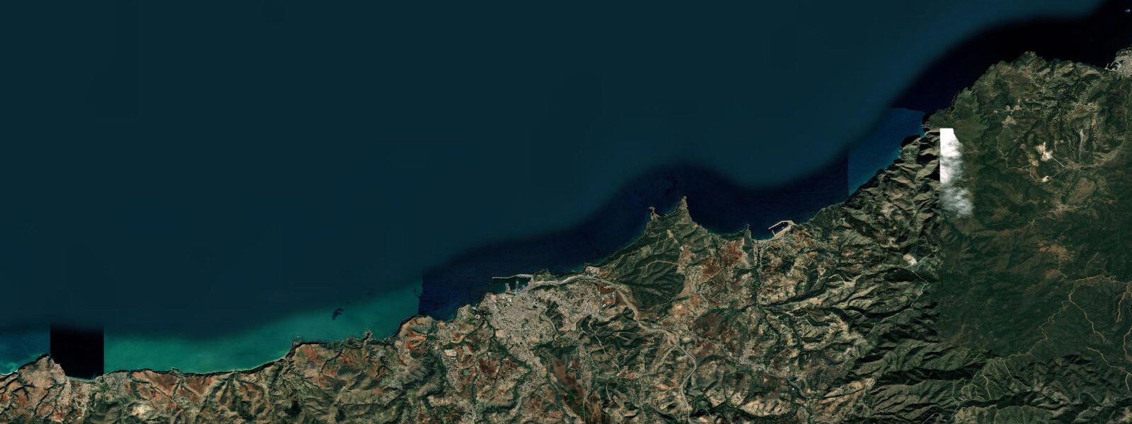
Ghazaouet is a port town on the far western edge of the Algerian Mediterranean coast, roughly 70 kilometres from the Moroccan border at Oujda. Known as Nemours under French colonial administration until 1962, the town retains a compact harbour and port infrastructure that has served as a commercial and ferry gateway between Algeria and Spain. The ferry to Alicante makes Ghazaouet one of the few Algerian ports with a direct European maritime connection.
The coastline at Ghazaouet is typical of the western Algerian Mediterranean: a sheltered harbour backed by limestone cliffs, with small pocket beaches between rocky headlands to the east and west. The Tlemcen mountains — Algeria's western ranges — form the backdrop inland, with peaks above 1,000 metres visible from the water on clear days.
Tide data for Ghazaouet uses Open-Meteo Marine, a global gridded ocean model. Timing accuracy is ±45 minutes; height accuracy is ±0.2 to 0.3 metres. In the Mediterranean, these tolerances are large relative to the tidal range itself: the western Mediterranean at this latitude has a semidiurnal tide with a spring range of just 0.1 to 0.4 metres. The astronomical tide is nearly irrelevant to practical water-level planning. Wind setup, atmospheric pressure systems, and seiches (standing wave oscillations in the Mediterranean basin) routinely produce water-level changes equal to or larger than the tidal range.
For the working port, wind-driven sea state and swell direction matter more than tide. The harbour entrance faces north-northwest; it is well-sheltered from the dominant westerly and southerly winds but exposed to north and northwest weather systems that periodically bring swell into the western Mediterranean. The cross-strait swell window from the northeast is the main source of harbour disruption.
For divers and snorkellers, the rocky headlands around Ghazaouet offer posidonia seagrass meadows at 5 to 20 metres depth, with the usual Mediterranean assemblage: saddled bream, painted comber, scorpionfish, and octopus. The clarity of the water — typically 10 to 20 metres in summer — is the main draw for underwater activity. Low atmospheric-pressure events, rather than tidal cycles, are the primary driver of water-level changes that affect shore entry and exit.
For beach visitors, the small beaches between the port and the eastern headlands are usable through the summer months. The town is close enough to Tlemcen — Algeria's historic inland city, 80 kilometres to the southeast — that day visitors combine a coastal stop at Ghazaouet with the citadel and mosque complexes of Tlemcen. Water temperature peaks at 24 to 26°C in August and September and falls to 13 to 15°C by February.
The western Algeria coast between Ghazaouet and Beni Saf is thinly visited by international tourism. The ferry connection to Alicante — operated seasonally — is the main international traffic. Domestic Algerian beach tourism peaks in July and August.
The coastline between Ghazaouet and the Moroccan border at Saïdia is a 30-kilometre stretch of rocky Mediterranean coast with limited road access and few settlements. From the sea, the coast appears as a continuous cliff face punctuated by small coves, some with sand beaches accessible only by boat. This section is the least visited part of the Algerian Mediterranean, and even domestic Algerian tourism thins significantly west of Ghazaouet.
The road east from Ghazaouet toward Honaine and Beni Saf runs inland before returning to the coast; the dramatic Traras mountain range visible to the south is the geological continuation of the Rif Atlas across the border in Morocco. The visual signature of this landscape — pale limestone, dark blue Mediterranean, mountain haze — is consistent along the entire western Algeria coast and is most striking in the late afternoon light.
For marine biology context, the western Mediterranean at this longitude is part of the Atlantic-Mediterranean transition zone. The Strait of Gibraltar, 150 kilometres to the west, allows Atlantic water to enter the Mediterranean as an upper-layer inflow and Mediterranean water to exit as a deeper, saltier outflow. This exchange drives circulation patterns that affect the western Mediterranean's temperature and salinity differently from the closed central and eastern basins. The relatively lower surface salinity of the western Mediterranean compared to the east is a product of this Atlantic dilution.
Tide questions about Ghazaouet
Quick answers to the most common questions about tide times, range, and water access at Ghazaouet.
Is there a ferry from Ghazaouet to Spain?
Ghazaouet operates a seasonal ferry service to Alicante, Spain, run by Algerian national ferry operators. The service typically operates from June through September for the peak summer migration season — when Algerian diaspora in Europe travel home for the summer — and may run on reduced schedules outside those months. Confirm the current schedule and booking procedures with the ferry operator or Algerian port authority before planning a crossing. The crossing takes approximately 12 to 15 hours. Travellers should ensure they have valid Algerian entry/exit documentation and Spanish Schengen visas as required.
What is the tidal range at Ghazaouet?
The western Mediterranean at Ghazaouet has a semidiurnal astronomical tide with a spring range of just 0.1 to 0.4 metres — effectively microtidal. In practical terms, the tide has minimal impact on water levels compared to wind setup and atmospheric pressure effects, which can move water levels by 0.3 to 0.5 metres independently of the tide. Tide predictions here come from Open-Meteo Marine's global model; with a range this small, the ±45 minute timing tolerance and ±0.2 to 0.3 metre height tolerance make the predictions indicative rather than operational. For diving or shore access planning, wind and swell forecast matter more than tide phase.
What dive sites are near Ghazaouet?
The rocky headlands and underwater walls around Ghazaouet offer posidonia seagrass meadows, rock-and-reef habitat with saddled bream, painted comber, and scorpionfish, and occasional wrecks from the Mediterranean trade routes. Visibility runs 10 to 20 metres in summer, degrading in winter and after wind events that stir the water column. There are no large established dive centres on the western Algeria coast; most diving is organised through Oran-based operators or through private arrangements with the local harbour master. The tidal current here is minimal — less than 0.2 knots on most days — so tide timing is not a significant dive planning factor.
What is Ghazaouet's historical name and colonial background?
Ghazaouet was known as Nemours during French colonial administration. The town was developed by the French after 1848 as a commercial port to serve the agricultural hinterland of the Tlemcen region and as a landing point for the western Algeria supply chain. The port infrastructure — quays, breakwater, and harbour basin — dates largely from this period. After Algerian independence in 1962, the town was renamed Ghazaouet. The colonial-era port buildings and the compact harbour layout are still the defining architectural features of the town centre.
What is the best base for exploring the western Algeria coast?
Tlemcen, 80 kilometres inland from Ghazaouet, is the main city of the region and has the widest range of accommodation. The coastal section between Ghazaouet and Beni Saf — including the intermediary beach at Honaine — is accessible by day trip from Tlemcen. Alternatively, Ghazaouet itself has a small number of hotels suitable as a coastal base for the western Algeria coastline. Oran, 170 kilometres to the east, is the major city of northwestern Algeria and has the most developed tourism infrastructure for the region, including the Ain el Turk and Les Andalouses beach resort areas.
7-day tide table — Ghazaouet
Heights relative to MSL. Predictions: Open-Meteo Marine (MeteoFrance SMOC, 0.08° grid) — heights relative to MSL (not chart datum / LAT). Model-derived.
| Day | Type | Time | Height |
|---|---|---|---|
| Sat 04 Jul | Low | 01:00 | -0.4m |
| High | 18:45 | -0.3m | |
| Low | 23:50 | -0.4m | |
| Sun 05 Jul | High | 05:50 | -0.3m |
| Low | 12:10 | -0.5m | |
| High | 19:10 | -0.2m | |
| Mon 06 Jul | Low | 12:50 | -0.5m |
| High | 19:50 | -0.2m | |
| Tue 07 Jul | — | ||
| Wed 08 Jul | Low | 14:00 | -0.3m |
| Thu 09 Jul | — | ||
| Fri 10 Jul | High | 11:50 | -0.1m |