Beni Saf tide times
Beni Saf tide forecast — heights relative to MSL.
Today's tide times for Beni Saf
Tide times at Beni Saf on Friday, 3 July 2026: first low tide at 11:00am, first high tide at 05:50pm, second low tide at 11:00pm. Sunrise 05:54am, sunset 08:24pm.
Tide chart for Beni Saf
24-hour cosine-interpolated curve around the present moment. Heights relative to MSL. Predictions: Predictions: Open-Meteo Marine (MeteoFrance SMOC, 0.08° grid).
Sun, moon and conditions on Fri 03 Jul
Snapshot at build time — refreshes daily. Sea state from Open-Meteo Marine.
Highs and lows next 7 days
Every predicted high and low for the next week, with the daily tidal coefficient (0–120; higher = bigger swing, > 95 means stronger currents).
Other spots nearby
The three closest curated TideTurtle locations to Beni Saf, measured by great-circle distance.
Today's solunar windows
Solunar tradition: major periods are the ≈3h windows around moon transit and opposition; minor are ≈2h around moonrise and moonset. Pair with the local tide stage and wind for the best read.
About tides at Beni Saf
A short guide to the coastline at Beni Saf — geography, sea state, and what the tide is actually doing under your feet.
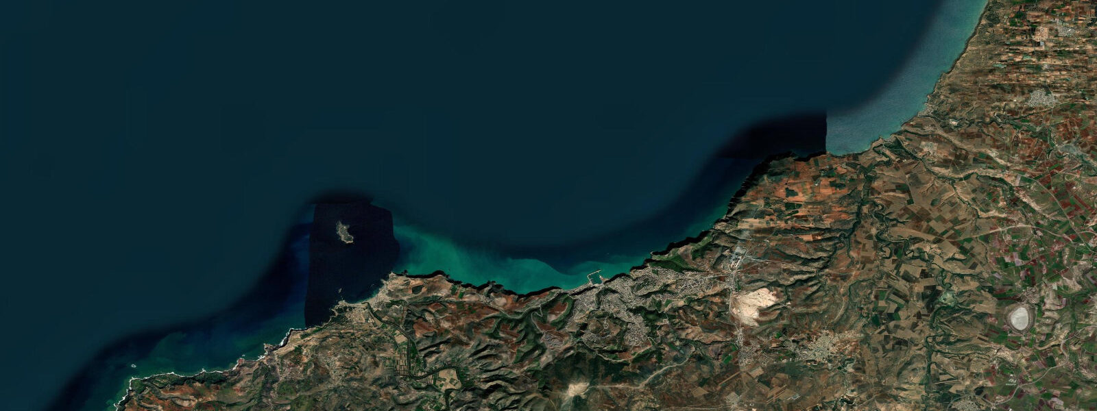
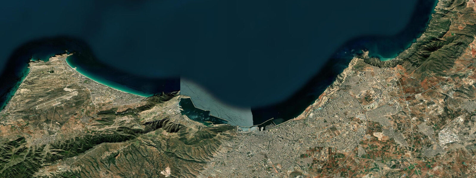
Beni Saf sits at the far northwest corner of Algeria, roughly 70 kilometres from the Moroccan border, where the Tlemcen Mountains' foothills meet a coast of red iron-ore cliffs and quiet Mediterranean coves. It is one of the least touristically developed coastal towns in Algeria, which paradoxically makes it one of the most interesting: the harbour is a working iron-ore export terminal and fishing port rather than a marina, and the town's beaches are used almost entirely by local Algerians.
The iron-ore history runs deep here. The mines at Beni Saf were developed by the French colonial administration in the 1870s and at their peak in the 20th century were among the most productive in North Africa. The ore was loaded directly from the cliff-top processing plant onto ships via an iron pier — parts of the old loading infrastructure are still visible as rusted iron skeletons extending from the red cliff face into the sea, a genuinely unusual industrial archaeology that gives the place a character no beach resort can manufacture.
The main beach, Plage de Beni Saf, curves west of the port headland for about 600 metres. The red-clay cliffs behind the beach are distinctive — the iron content in the rock gives them a rust-orange colour against the blue Mediterranean water. Beach season runs from June through September; the water is reliably 22–25°C by July and the beach fills with families from the Tlemcen region on summer weekends. Outside peak season the beach is almost deserted.
Honaine Bay, about 15 kilometres east along the coast, offers the most sheltered swimming in this area. The bay is enclosed on three sides by hills, reducing swell in most conditions, and the bottom is mixed sand and rock with seagrass meadows that harbour sea bream and mullet. Access is by road through the hills or, in calm weather, by small boat from Beni Saf harbour.
Snorkelling around the old iron pier and the rocky outcrops on the headland west of the port is possible and often excellent — the iron structures have become an artificial reef over 80 years, colonised by sponge, gorgonian fans, and reef fish. Visibility is typically 8–12 metres when northerly winds have been calm for two or more days. Northerly swells — which arrive with little warning in this part of the Mediterranean, generated by the Mistral descending through the Gulf of Lion — can reduce conditions to zero at the rocky sites within hours.
Tides are microtidal: spring range under 0.3 metres. The mixed semidiurnal pattern applies throughout the western Mediterranean, with diurnal inequality meaning the two daily tides are often significantly unequal in height. Wind-driven setup from the north is the dominant water-level variable; major northerly events can raise coastal levels 30–50 cm above predicted at an exposed site like Beni Saf, which faces the open Mediterranean to the north.
Access from Tlemcen (the regional capital) is 75 kilometres by road, about an hour. From Oran it is roughly 100 kilometres, 90 minutes. There is bus service from both cities. The town has basic accommodation and a small market. Petrol and supplies are available, but this is not a place with tourist infrastructure — bring what you need.
Predictions on this page come from Open-Meteo Marine, a gridded global ocean model. Accuracy is typically within plus or minus 45 minutes on timing and 0.2 to 0.3 metres on height — model-derived, not from a local gauge. Consult meteo.dz for Algerian coastal forecasts.
Fishing from the Beni Saf harbour breakwater is productive for sea bream and mullet, and the outer rocks east of the ore-loading ruins produce larger fish — grouper and occasional amberjack — for those willing to climb to good casting positions. Local fishermen are generally open to visitors sharing the breakwater, and watching the artisanal fleet work the evening departure is a genuine coastal experience. Boat hire through the harbour for a half-day on the water is sometimes arrangeable directly with fishermen.
Tide questions about Beni Saf
Quick answers to the most common questions about tide times, range, and water access at Beni Saf.
What is the iron pier, and can I snorkel around it?
The iron pier at Beni Saf is the remnant loading infrastructure from the colonial-era iron-ore export operation, built in the late 19th century to transfer ore from the cliff-top processing plant directly onto ships. Parts of the framework still extend from the red cliff face into the sea, heavily corroded and encrusted with marine growth after more than a century of immersion. Over 80 years of biological colonisation have turned the structure into an artificial reef: sponges, gorgonian fans, sea bream, and wrasse are common around the base. Access to the water near the pier requires care — the iron is jagged and the rocks around it can be slippery. Calm conditions and morning light are best. There are no dive operators in town; this is independent or self-organised diving and snorkelling.
What is the best time to visit Beni Saf for swimming?
June through September for water temperature and calm conditions. July and August are peak domestic summer season — the beach fills with families from Tlemcen and Oran on weekends, though it never reaches the intensity of Algiers beaches. June and September offer warm water (22–24°C) with fewer crowds. The Mistral and its regional variants can arrive without much warning at any time of year, generating northerly swell that turns the exposed beach rough in a few hours. Check the meteo.dz marine forecast before planning a snorkel at the rocky sites. Spring (April–May) has clearer water and good visibility for diving but lower sea temperature (16–18°C).
What is the tidal range at Beni Saf?
Under 0.3 metres — standard for the western Mediterranean. The Atlantic tidal wave is attenuated by the time it enters the Mediterranean basin, and the Algerian coast sits at the southern edge of a basin that's too small to develop significant internal tides. The pattern is mixed semidiurnal with diurnal inequality, meaning the tide chart shows two highs per day but with unequal heights that sometimes collapse to effectively one dominant tide. Wind is the bigger water-level driver at Beni Saf: northerly winds across the open western Mediterranean produce setup on this exposed north-facing coast of 30–50 cm during sustained events. For practical planning, the swell and wind state matters far more than the predicted tide level.
Is there good snorkelling at Honaine Bay near Beni Saf?
Yes — Honaine Bay, about 15 kilometres east along the coast, is one of the better snorkelling spots in this corner of Algeria. The bay is partially enclosed, which reduces swell in most conditions and gives better clarity than the open coast. The floor is a mix of sand and rock with seagrass meadows that support sea bream, mullet, and occasional cuttlefish. Depths in the snorkelling range run 2–10 metres. Access by road requires navigating rural tracks to the waterfront — ask locally in Beni Saf for the current road condition. In calm weather, small boats from Beni Saf harbour can reach Honaine Bay by sea. There are no facilities at Honaine: bring water, food, and sun protection.
How remote is Beni Saf, and what should I bring?
Beni Saf is a small working town, not a tourist resort. It has a basic market, fuel station, a few small hotels and guesthouses, and local restaurants serving fish and Algerian staples. It does not have dive operators, tourist offices, English-language services, or the kind of equipment rental you'd find in a developed coastal resort. For diving and snorkelling, bring all your own gear. Bring cash — card payment is unreliable outside larger cities. A reliable car is advisable for exploring the surrounding coast; the road to Honaine Bay and other coves involves unpaved sections. The nearest city infrastructure is in Tlemcen (75 km) or Oran (100 km). Mobile coverage is adequate on the main road and in town.
6-day tide table — Beni Saf
Heights relative to MSL. Predictions: Open-Meteo Marine (MeteoFrance SMOC, 0.08° grid) — heights relative to MSL (not chart datum / LAT). Model-derived.
| Day | Type | Time | Height |
|---|---|---|---|
| Fri 03 Jul | Low | 11:00 | -0.6m |
| High | 17:50 | -0.3m | |
| Low | 23:00 | -0.4m | |
| Sat 04 Jul | High | 05:00 | -0.3m |
| Low | 11:45 | -0.6m | |
| Sun 05 Jul | High | 05:50 | -0.3m |
| Low | 12:10 | -0.5m | |
| High | 19:10 | -0.3m | |
| Mon 06 Jul | Low | 00:50 | -0.4m |
| Tue 07 Jul | High | 20:50 | -0.2m |
| Wed 08 Jul | Low | 14:00 | -0.3m |