Azeffoun tide times
Azeffoun tide forecast — heights relative to MSL.
Today's tide times for Azeffoun
Tide times at Azeffoun on Friday, 3 July 2026: first high tide at 01:00am, first low tide at 03:00pm. Sunrise 05:27am, sunset 08:05pm.
Tide chart for Azeffoun
24-hour cosine-interpolated curve around the present moment. Heights relative to MSL. Predictions: Predictions: Open-Meteo Marine (MeteoFrance SMOC, 0.08° grid).
Sun, moon and conditions on Fri 03 Jul
Snapshot at build time — refreshes daily. Sea state from Open-Meteo Marine.
Highs and lows next 7 days
Every predicted high and low for the next week, with the daily tidal coefficient (0–120; higher = bigger swing, > 95 means stronger currents).
Other spots nearby
The three closest curated TideTurtle locations to Azeffoun, measured by great-circle distance.
Today's solunar windows
Solunar tradition: major periods are the ≈3h windows around moon transit and opposition; minor are ≈2h around moonrise and moonset. Pair with the local tide stage and wind for the best read.
About tides at Azeffoun
A short guide to the coastline at Azeffoun — geography, sea state, and what the tide is actually doing under your feet.
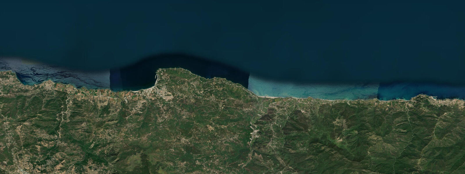
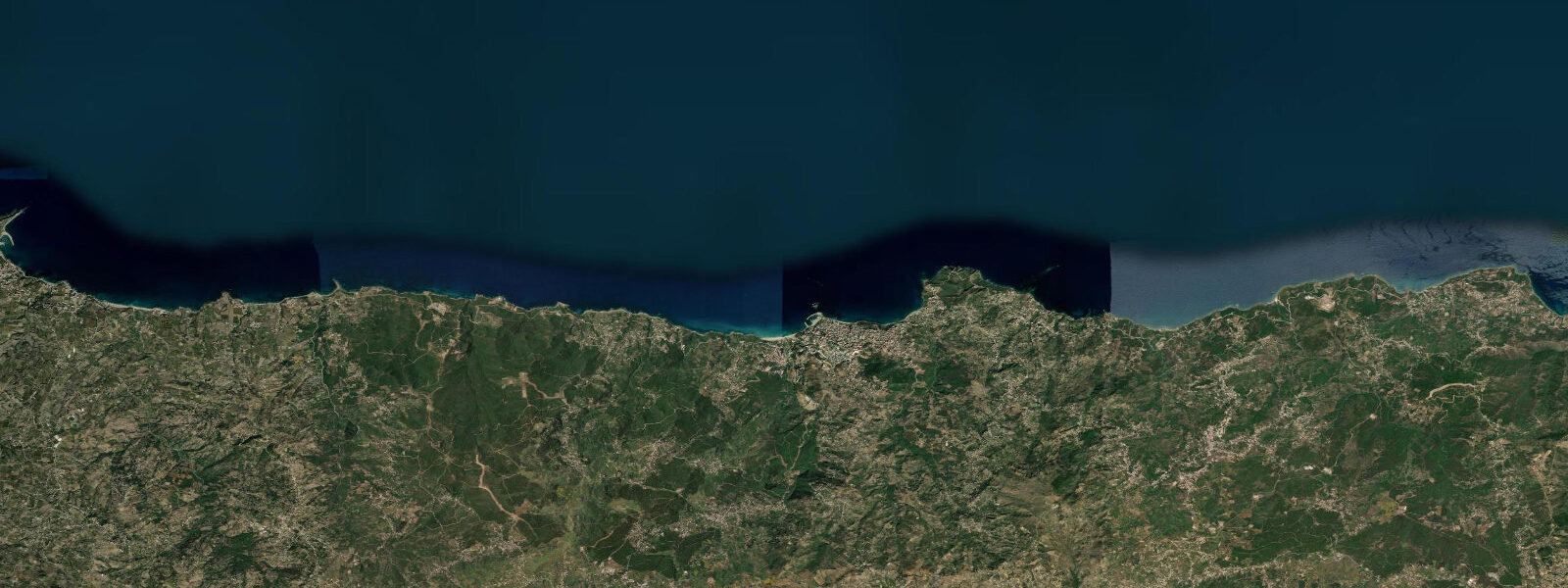
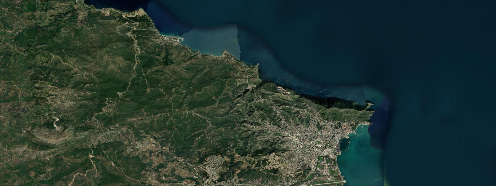
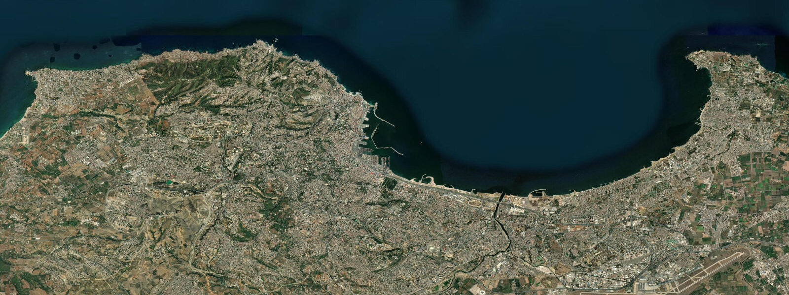
Azeffoun — ancient Rusazus to the Romans, and before that a Berber settlement whose name survives in Tamazight as a word for fig tree — sits on the eastern section of the Kabylie coast, roughly 120 kilometres east of Algiers. The drive along the Corniche Kabyle from Tigzirt is the approach most visitors take, and it is genuinely one of the most spectacular coastal roads in Africa: limestone cliff faces plunging 100–200 metres to clear water, with pine and cedar forest coming right to the edge of the escarpment.
The town itself wraps around a sheltered bay with a sandy beach roughly 800 metres long. The bay faces northeast, which gives it natural protection from the prevailing westerly and the mistral variants that cross the western Mediterranean. In summer this protection makes the beach reliably calm when the open coast to the west is choppy. The water is clear and warm — sea temperature typically 23–25°C in peak summer — and the sandy bottom slopes gradually, making it suitable for children and non-swimmers.
Beyond the main beach, the headlands on either side of the bay offer rocky entry points for snorkelling. The eastern headland, locally known as Pointe du Filet, has an undercut shelf at 3–8 metres with sea bream, bogues, and rockfish. Octopus are common in the crevices. Visibility here typically runs 10–18 metres after several days of calm — among the clearest conditions on the Algerian coast, because the continental shelf here is relatively narrow and runoff from the Kabyle mountains is limited outside winter rain events.
Azeffoun has a small fishing harbour that handles a mixed artisanal fleet — small wooden boats targeting sea bream, mullet, and octopus year-round, and seasonal pelagic runs for tuna and bonito in late summer. The harbour quay in early morning is a working scene that hasn't been aestheticised for visitors: fishermen sorting nets, foam boxes of catch, the smell of diesel and salt. Fresh fish is available directly or through the small daily market near the port entrance.
Tides are microtidal, as along the entire Algerian Mediterranean coast: spring range under 0.3 metres, mixed semidiurnal pattern with significant diurnal inequality. Wind setup is the dominant water-level driver — northeast winds, which blow into this northeast-facing bay, can raise local sea level 20–30 cm and build short-period chop that makes snorkelling uncomfortable. Morning calm is reliably the best window. The prevailing summer wind pattern is a sea breeze from the northwest that develops mid-morning and builds to 15–20 knots by early afternoon before easing at sunset.
Access is via Tizi Ouzou and then east along the Corniche Kabyle. Azeffoun is a small town with basic accommodation — a handful of small hotels and seasonal rental apartments. The Roman-era lighthouse foundations near the eastern headland are a low-key archaeological site occasionally explored by local history guides.
Predictions on this page come from Open-Meteo Marine, a gridded global ocean model. Accuracy is typically within plus or minus 45 minutes on timing and 0.2 to 0.3 metres on height — model-derived, not from a local gauge. Consult meteo.dz for Algerian coastal wind and swell forecasts.
Kayaking from the sheltered side of the bay is possible in calm conditions and gives access to coves east of the main beach that are unreachable by land. The Corniche Kabyle continues east of Azeffoun toward Cap Carbon and Béjaïa, another 50 kilometres of spectacular cliff coast that sees very few international visitors. If you have time beyond the beach, the drive alone is worth the effort — the road follows the cliff edge in places with nothing between you and the Mediterranean 150 metres below.
Tide questions about Azeffoun
Quick answers to the most common questions about tide times, range, and water access at Azeffoun.
What makes Azeffoun's water visibility so clear?
Several factors combine. The continental shelf off Azeffoun is relatively narrow, so nutrient upwelling from the deep basin is limited and plankton blooms are less intense than in more enclosed bays. Freshwater runoff from the Kabyle mountains is significant only during winter rains and clears quickly through spring. The northeast-facing bay is sheltered from the prevailing westerly swell, which means less sediment disturbance in the sandy shallows. After several consecutive calm days, visibility of 15–20 metres is achievable at the rocky headland sites, making Azeffoun one of the clearer snorkelling spots on the North African Mediterranean coast.
Is Azeffoun beach good for families?
Yes — the main bay beach is well suited to families with children. It is sheltered from the prevailing westerly swell by the headlands, so conditions are typically calm when more exposed beaches nearby are choppy. The sand is firm and the gradient into the water is gradual — there's no steep drop or sharp shelf. In July and August the beach has informal lifeguard presence and food vendors. The town is small and easy to navigate on foot. Water temperature reaches 23–25°C by July, staying warm through September. Jellyfish pulses can occur in mid-summer; asking locally on the morning you plan to swim is the simplest precaution.
What is the tidal range at Azeffoun?
Under 0.3 metres at mean spring tide — the Algerian coast sits in the semi-enclosed western Mediterranean basin and the Atlantic tidal signal is strongly attenuated by the time it reaches these shores. The pattern is mixed semidiurnal with noticeable diurnal inequality, so some days produce two roughly equal tides and others have one dominant high and one shallow low. Wind is the more significant water-level variable: northeast winds blowing directly into this northeast-facing bay produce setup of 20–30 cm above the predicted tidal level and short-period chop. For planning swims and snorkelling, the wind and swell forecast matters far more than the tidal chart.
When is the best time to snorkel at the Pointe du Filet headland?
Early morning, typically 07:00–10:00 before the sea breeze develops. The summer pattern brings northwest sea-breeze winds building from mid-morning to around 15–20 knots by early afternoon, which creates surface chop and reduces visibility near the headland. The calmer morning window, combined with low sun angle that still gives reasonable underwater light from around 08:00, gives the best combination of visibility and surface conditions. After settled high-pressure periods of three or more days, visibility at the 3–8 metre shelf is typically 10–18 metres. Autumn (October–November) also offers excellent conditions: the sea breeze pattern weakens, water is still warm from summer heating, and fish activity around the reef is high.
Can I buy fresh fish in Azeffoun?
Yes — the small harbour and adjacent morning market are the best source. Fishermen typically return between 06:00 and 09:00 from overnight or early-morning trips, and sea bream (daurade), mullet (mulet), and octopus are available most mornings. Late summer brings bonito and occasional small tuna from the pelagic fleet. Prices are set by conversation rather than fixed display, and buying directly from a fisherman rather than through the market stall usually gets you a better price and fresher fish. Bring cash; there is no card payment at the harbour. The fish market proper operates seasonally and is busiest in summer.
8-day tide table — Azeffoun
Heights relative to MSL. Predictions: Open-Meteo Marine (MeteoFrance SMOC, 0.08° grid) — heights relative to MSL (not chart datum / LAT). Model-derived.
| Day | Type | Time | Height |
|---|---|---|---|
| Fri 03 Jul | High | 01:00 | -0.4m |
| Low | 15:00 | -0.5m | |
| Sat 04 Jul | — | ||
| Sun 05 Jul | — | ||
| Mon 06 Jul | High | 12:00 | -0.4m |
| Low | 17:00 | -0.5m | |
| Tue 07 Jul | — | ||
| Wed 08 Jul | High | 01:00 | -0.3m |
| Thu 09 Jul | Low | 09:00 | -0.3m |
| Fri 10 Jul | High | 00:00 | -0.2m |