Tipaza tide times
Tipaza tide forecast — heights relative to MSL.
Today's tide times for Tipaza
Tide times at Tipaza on Friday, 3 July 2026: first high tide at 01:00am, first low tide at 01:00pm. Sunrise 05:35am, sunset 08:12pm.
Tide chart for Tipaza
24-hour cosine-interpolated curve around the present moment. Heights relative to MSL. Predictions: Predictions: Open-Meteo Marine (MeteoFrance SMOC, 0.08° grid).
Sun, moon and conditions on Fri 03 Jul
Snapshot at build time — refreshes daily. Sea state from Open-Meteo Marine.
Highs and lows next 7 days
Every predicted high and low for the next week, with the daily tidal coefficient (0–120; higher = bigger swing, > 95 means stronger currents).
Other spots nearby
The three closest curated TideTurtle locations to Tipaza, measured by great-circle distance.
Today's solunar windows
Solunar tradition: major periods are the ≈3h windows around moon transit and opposition; minor are ≈2h around moonrise and moonset. Pair with the local tide stage and wind for the best read.
About tides at Tipaza
A short guide to the coastline at Tipaza — geography, sea state, and what the tide is actually doing under your feet.
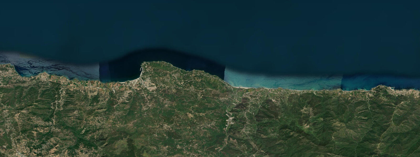
Tipaza sits on the Mediterranean coast 70 kilometres west of Algiers, a small town whose coastline holds one of the most dramatic Roman archaeological sites in North Africa. The ruins extend from the inland plateau directly to the cliff edge and into the sea — columns and masonry standing in the surf at the base of the cliffs, and submerged stone visible at very low water when the typically-flat Mediterranean surface gives a clear view down to the bottom.
The tidal regime at Tipaza is the same microtidal character as the rest of the Algerian coast: spring range approximately 0.15 to 0.25 metres. This near-absence of tide means the submerged Roman masonry is essentially always submerged at the same depth — the variation in visibility is driven by water clarity, wave state, and wind direction rather than by tidal stage. The clearest underwater view of the submerged ruins is in calm conditions on a clear morning, with the sun at a low angle (before 09:00 or after 16:00) to minimise surface glare.
The UNESCO World Heritage archaeological zone at Tipaza encompasses the main Roman town — a substantial settlement established in the 2nd century BC and expanded under Roman rule from 46 BC onward. The site includes an amphitheatre, a basilica, forum, temples, baths, and the Christian basilica of St Salsa (4th century). The ruins extend along several hundred metres of coastline and the cliff-edge sections have been progressively undercut by wave action over 2,000 years — some columns now stand at the base of the cliff in the spray zone. At the lowest atmospheric pressure (Mediterranean storms), wave wash reaches the cliff-top edge during winter northerly gales.
Albert Camus lived in Algiers and wrote about Tipaza in a 1938 essay (Noces, translated as Nuptials) — a piece of lyric prose that established the ruins and the sea-edge context in the French literary consciousness. The essay is specific about the physical experience of the site: the light on the columns, the smell of absinth and sea, the ruins at the margin of the Mediterranean. The site operates as a public archaeological park; the main ruins are fenced and have an entry fee, but sections of the cliff-edge ruins on either side are accessible from the coastal path.
The Tomb of the Christian (Kbour er Roumia) is visible from the coast 2 kilometres east of the main ruins — a cylindrical mausoleum 60 metres in diameter and 32 metres high, standing on the Chenoua plateau with the Mediterranean below it. The structure dates from the 1st century BC and is associated (in contested historical attribution) with Juba II and Cleopatra Selene II, daughter of Cleopatra VII and Mark Antony, who became queen of Mauretania. The monument is substantial enough to be visible from the Algiers-Oran coastal road.
The beach at the base of the ruins — on the western side of the archaeological zone — is a small sandy beach with direct access to the cliff-base masonry. Snorkelling from this beach in calm conditions gives access to the submerged stone. The water is clear in the winter months (November through March) when phytoplankton blooms are minimal; summer visibility is reduced by the productive summer Mediterranean circulation.
The drive from Algiers takes approximately one hour on the coastal road (RN11). The site is accessible and the ruins plus the coastal context can be covered in two to three hours. The most productive visit: arrive at 08:00, walk the ruins in the morning light, reach the cliff-edge sections before 10:00, and spend an hour at the beach below the ruins before the summer heat builds.
The approach to Tipaza from Algiers on the RN11 coastal road passes through several small headlands and coves that are worth noting for snorkellers in the winter months — the rocky points at Sidi Fredj and Chenoua provide clear Mediterranean water over limestone reef, accessible from the road with a short descent. Water temperature at Tipaza runs 14-17°C in January-February, 23-26°C in August. The winter months that give the best water clarity are also the coldest; a 3mm wetsuit is adequate in March and October, a 5mm suit is comfortable from December through February. The site does not have dive operators; bringing personal equipment is necessary.
Predictions on this page come from Open-Meteo Marine, a gridded global ocean model. Accuracy is typically within plus or minus 45 minutes on timing and 0.2 to 0.3 metres on height — model-derived, not from a local gauge. The authoritative source for tidal and marine data in Algeria is the Algerian National Institute of Meteorology (ONM) and the Algerian General Maritime Directorate.
Tide questions about Tipaza
Quick answers to the most common questions about tide times, range, and water access at Tipaza.
Can I see Roman ruins in the sea at Tipaza?
Yes. The Roman ruins at Tipaza extend to the cliff edge and partially into the sea. Columns stand at the base of the cliffs in the spray zone, and submerged stone masonry is visible at the cliff base in calm, clear water. Because the Mediterranean at Tipaza is microtidal (spring range 0.15 to 0.25 metres), the submerged ruins are essentially always at the same depth — water clarity and wave state determine visibility more than tidal stage. The clearest view is from the beach on the western side of the archaeological zone in calm morning conditions before 09:00. Snorkelling from this beach gives close access to the submerged stone.
What is the Tomb of the Christian near Tipaza?
The Tomb of the Christian (Kbour er Roumia, Arabic for Tomb of the Roman Woman) is a cylindrical funerary monument 60 metres in diameter and 32 metres high, dating from the 1st century BC. It stands on the Chenoua plateau east of the Tipaza ruins, visible from the coastal road. Historical attribution is contested — it is commonly associated with Juba II, King of Mauretania, and his wife Cleopatra Selene II (daughter of Cleopatra VII of Egypt and Mark Antony). The structure is massive enough to be visible from the Algiers-Oran highway and is the most prominent pre-Roman monument on the Algerian coast.
What is Albert Camus's connection to Tipaza?
Albert Camus, who grew up in Algiers, wrote a lyric prose essay about Tipaza in 1938, included in the collection Noces (translated as Nuptials or Nuptials at Tipaza). The essay is specific about the physical experience of the site — the light on the Roman columns, the smell of absinthe weed and sea salt, the ruins at the edge of the Mediterranean. It established Tipaza in the French literary consciousness as a site of particular sensory and philosophical significance. Camus returned to write a later essay (Return to Tipasa, 1954) after the site had changed. The ruins are largely as he described them, minus seven decades of weathering.
How do I get to Tipaza from Algiers?
Tipaza is approximately 70 kilometres west of Algiers, accessible by the RN11 coastal road. Drive time is approximately one hour in normal traffic. Shared taxis (louage) from Algiers' Caroubier or Chevalley bus stations serve Tipaza; the journey takes 60 to 90 minutes. The archaeological site entrance is on the main road through the town. There is parking at the site entrance. Bus services from Algiers exist but are slower — the shared taxi is the practical public transport option. Avoid midday in July and August when temperatures on the open limestone ruins exceed 35°C.
What is the best time of day and year to visit the Tipaza ruins?
Early morning is the best time in any season — arrive at 08:00 to walk the ruins in flat light before 10:00, when the shadows are still long and the cliff-edge sections are in shade. The cliff-base beach and any snorkelling should be timed for the calm morning conditions before the afternoon sea breeze develops. For water clarity (snorkelling the submerged ruins), November through March is better than summer — winter plankton concentrations are lower and visibility is typically 5 to 10 metres. Summer visits (July-August) should be completed by 10:00 to avoid extreme heat on the exposed stone.
5-day tide table — Tipaza
Heights relative to MSL. Predictions: Open-Meteo Marine (MeteoFrance SMOC, 0.08° grid) — heights relative to MSL (not chart datum / LAT). Model-derived.
| Day | Type | Time | Height |
|---|---|---|---|
| Fri 03 Jul | High | 01:00 | -0.4m |
| Low | 13:00 | -0.6m | |
| Sat 04 Jul | — | ||
| Sun 05 Jul | — | ||
| Mon 06 Jul | — | ||
| Tue 07 Jul | High | 00:00 | -0.3m |