Oran tide times
Oran tide forecast — heights relative to MSL.
Today's tide times for Oran
Tide times at Oran on Friday, 3 July 2026: first low tide at 01:00am, first high tide at 04:00am, second low tide at 11:00am, second high tide at 06:00pm, third low tide at 11:00pm. Sunrise 05:50am, sunset 08:22pm.
Tide chart for Oran
24-hour cosine-interpolated curve around the present moment. Heights relative to MSL. Predictions: Predictions: Open-Meteo Marine (MeteoFrance SMOC, 0.08° grid).
Sun, moon and conditions on Fri 03 Jul
Snapshot at build time — refreshes daily. Sea state from Open-Meteo Marine.
Highs and lows next 7 days
Every predicted high and low for the next week, with the daily tidal coefficient (0–120; higher = bigger swing, > 95 means stronger currents).
Other spots nearby
The three closest curated TideTurtle locations to Oran, measured by great-circle distance.
Today's solunar windows
Solunar tradition: major periods are the ≈3h windows around moon transit and opposition; minor are ≈2h around moonrise and moonset. Pair with the local tide stage and wind for the best read.
About tides at Oran
A short guide to the coastline at Oran — geography, sea state, and what the tide is actually doing under your feet.
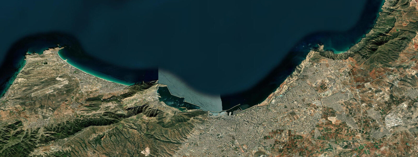
Oran is Algeria's second largest city, occupying a bay on the western Mediterranean coast close to the Moroccan border. The city sits at the base of the Murdjadjo massif — a steep limestone range rising to 560 metres directly behind the urban core — and the bay opens north to the Mediterranean. The harbour, the fort on the hill, and the mass of the Murdjadjo are the defining physical features of a city that has been continuously occupied and contested for over a thousand years.
The Mediterranean tidal regime at Oran is the same microtidal pattern that runs the length of the Algerian coast. Spring range is approximately 0.1 to 0.2 metres — the smallest end of the Algerian range, reflecting Oran's position further from the Atlantic tidal influence that filters through the Strait of Gibraltar. The tidal signal is present but negligible for practical purposes; wind setup from northerly gales and the Sirocco pressure effect produce larger water level changes than the astronomical tide. For fishing and boating, the sea state and the current driven by wind are the dominant variables.
Fort de Santa Cruz dominates the Murdjadjo hillside above the city. The Spanish colonial fortification was constructed in 1563 during the period when Oran was held by Spain (1509-1792, with an Ottoman interruption 1708-1732). The fort is substantial — heavy stone walls and bastions adapted for cannon — and the approach involves a road switchback up the Murdjadjo face that passes the Chapel of Santa Cruz, a place of pilgrimage for the city's remaining Catholic and Pied-Noir community. The fort itself is accessible and the views from the ramparts cover the full Bay of Oran, the harbour, Mers el Kébir inlet to the northwest, and on clear days the Spanish coast.
Mers el Kébir — 5 kilometres northwest of Oran city centre — is the sheltered inlet that provided one of the Mediterranean's finest natural anchorages and consequently became a major naval base. In July 1940, Operation Catapult: the Royal Navy attacked the French fleet anchored at Mers el Kébir to prevent the vessels falling under German control following France's armistice. The bombardment sank or disabled most of the French fleet and killed 1,297 French sailors — an act by Britain against its recent ally that remains a significant and painful episode in French-British and Franco-Algerian history. The naval base at Mers el Kébir is still operational (Algerian Navy). The harbour inlet itself is visible from the approach road; a memorial to the 1940 dead is accessible near the waterfront.
Oran's cultural layering is exceptional. The city has been Berber, Phoenician, Roman, Vandal, Byzantine, Arab, Andalusian (Moorish refugees from the Reconquista settled heavily here in the 15th-16th centuries), Spanish, Ottoman, and then French colonial. The Andalusian influence on the music (raï, the genre that emerged from Oran in the 20th century, has roots in Andalusian modal music mixed with Bedouin and French influences), the street patterns, and the architecture is still traceable. Raï is Oran's gift to world music — Khaled and Cheb Mami are Oranian.
The main beaches are east of the city — the Corniche Oranaise runs along the coastal road to Ain el Turck and the beaches at Les Andalouses (12 kilometres east). The coastal road is one of the more scenic drives on the Algerian coast: limestone cliffs, small rocky coves, and the open Mediterranean to the north. The beaches at Les Andalouses are sandy and sheltered; July and August are peak season. The microtidal Mediterranean means beach width is essentially constant regardless of the tide — the summer crowd size and the sea state are the variables.
The city's Spanish colonial architecture is visible in the central Place du 1er Novembre (formerly Plaza de Armas) and the Cathedral of Saint-Louis (now the Bey of Oran mosque). The Derb quarter retains some of the older street fabric.
Predictions on this page come from Open-Meteo Marine, a gridded global ocean model. Accuracy is typically within plus or minus 45 minutes on timing and 0.2 to 0.3 metres on height — model-derived, not from a local gauge. The authoritative source for tidal and marine data in Algeria is the Algerian National Institute of Meteorology (ONM) and the Algerian General Maritime Directorate.
Tide questions about Oran
Quick answers to the most common questions about tide times, range, and water access at Oran.
What is Fort de Santa Cruz and how do I reach it?
Fort de Santa Cruz is a Spanish colonial fortification on the Murdjadjo massif above Oran, constructed in 1563 during the period of Spanish control of the city (1509-1792, with an Ottoman interruption). The fort is a heavy stone structure with bastions adapted for cannon, positioned at approximately 420 metres elevation above the city. The approach road switchbacks up the Murdjadjo face and passes the Chapel of Santa Cruz, a pilgrimage site. The fort is accessible by car or on foot from the city. From the ramparts, the views cover the full Bay of Oran, the harbour, and on clear days reach the Spanish coast approximately 200 kilometres north across the western Mediterranean.
What happened at Mers el Kébir in 1940?
Operation Catapult was a Royal Navy attack on the French fleet anchored at Mers el Kébir on 3 July 1940. Following France's armistice with Germany, Britain demanded the French fleet either join the Allies, sail to neutral ports, or be scuttled — to prevent the ships falling under German control. When the French admiral refused the ultimatum, the Royal Navy bombarded the anchorage. The attack sank or disabled most of the French fleet and killed 1,297 French sailors. It was an act of war against Britain's recent ally and remains one of the most painful episodes in the relationship between France and Britain. A memorial to the dead is accessible at the Mers el Kébir waterfront.
What is the tidal range at Oran?
Oran is at the microtidal extreme of the Algerian coast — spring range is approximately 0.1 to 0.2 metres, among the smallest on the North African Mediterranean shore. The tidal signal is effectively negligible for practical purposes: the Sirocco wind pressure effect and northerly gale setup produce larger water level changes than the astronomical tide. Beach width at the Oran coastal beaches (Ain el Turck, Les Andalouses) does not change perceptibly between high and low water. For fishing and boating, sea state, current, and wind direction are the relevant planning variables, not tidal stage.
What is raï music and what is its connection to Oran?
Raï is a music genre that emerged from Oran in the early 20th century, blending Bedouin and Andalusian modal music with French influences and the social themes of urban Algerian life. It was initially associated with cabarets and the working-class districts of Oran. Through the 1970s and 1980s it evolved into an internationally recognised genre — artists Khaled (Cheb Khaled) and Cheb Mami are both Oranian and brought raï to global audiences. The genre's roots in the multicultural history of Oran — Andalusian, Arab, Berber, French, and Pied-Noir influences layered over five centuries — are directly traceable in the musical scales and lyric structure.
Where are the best beaches near Oran?
The main beaches are east of the city along the Corniche Oranaise coastal road toward Ain el Turck and Les Andalouses, approximately 12 kilometres from the city centre. Les Andalouses is a sandy, sheltered bay with the full coastal infrastructure during summer (July-August). The coastal road itself passes several smaller rocky coves with limited sand. Ain el Turck, slightly closer in, has a longer beach and more accommodation. The microtidal Mediterranean means beach width does not change with the tide, so planning around low or high water is not necessary. The peak season is July-August; May-June and September are quieter and equally warm.
8-day tide table — Oran
Heights relative to MSL. Predictions: Open-Meteo Marine (MeteoFrance SMOC, 0.08° grid) — heights relative to MSL (not chart datum / LAT). Model-derived.
| Day | Type | Time | Height |
|---|---|---|---|
| Fri 03 Jul | Low | 01:00 | -0.3m |
| High | 04:00 | -0.3m | |
| Low | 11:00 | -0.5m | |
| High | 18:00 | -0.3m | |
| Low | 23:00 | -0.4m | |
| Sat 04 Jul | High | 04:50 | -0.3m |
| Sun 05 Jul | — | ||
| Mon 06 Jul | — | ||
| Tue 07 Jul | Low | 13:00 | -0.4m |
| High | 21:00 | -0.2m | |
| Wed 08 Jul | — | ||
| Thu 09 Jul | — | ||
| Fri 10 Jul | Low | 00:00 | -0.1m |