Ksamil, Sarandë District tide times
Ksamil, Sarandë District tide forecast — heights relative to MSL.
Today's tide times for Ksamil, Sarandë District
Tide times at Ksamil, Sarandë District on Friday, 19 June 2026: first low tide at 02:00am, first high tide at 07:00am. Sunrise 05:11am, sunset 08:10pm.
Tide chart for Ksamil, Sarandë District
24-hour cosine-interpolated curve around the present moment. Heights relative to MSL. Predictions: Predictions: Open-Meteo Marine (MeteoFrance SMOC, 0.08° grid).
Sun, moon and conditions on Fri 19 Jun
Snapshot at build time — refreshes daily. Sea state from Open-Meteo Marine.
Highs and lows next 7 days
Every predicted high and low for the next week, with the daily tidal coefficient (0–120; higher = bigger swing, > 95 means stronger currents).
Other spots nearby
The three closest curated TideTurtle locations to Ksamil, Sarandë District, measured by great-circle distance.
Today's solunar windows
Solunar tradition: major periods are the ≈3h windows around moon transit and opposition; minor are ≈2h around moonrise and moonset. Pair with the local tide stage and wind for the best read.
About tides at Ksamil, Sarandë District
A short guide to the coastline at Ksamil, Sarandë District — geography, sea state, and what the tide is actually doing under your feet.
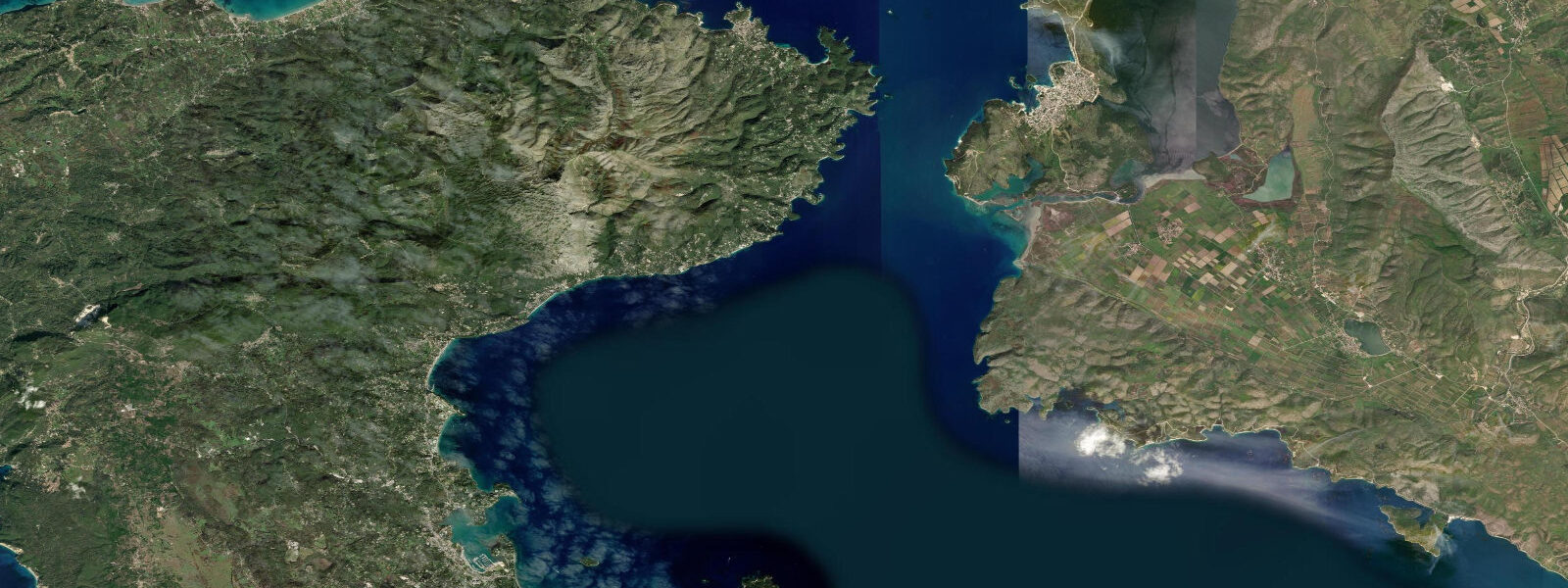
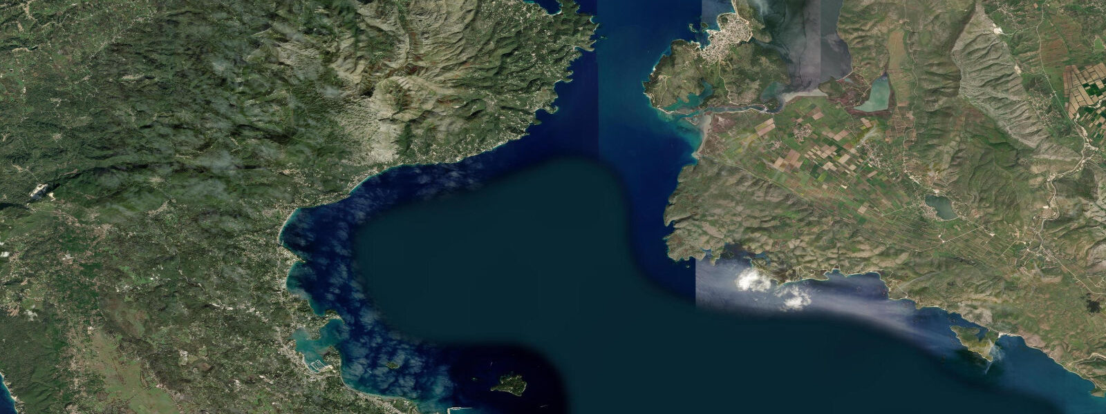
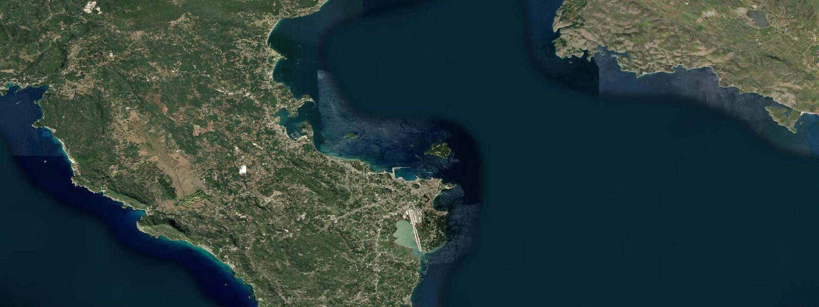
Ksamil is a village at the southern end of the Albanian Riviera, 3 km north of the Greek border, where the Ionian Sea narrows toward the Corfu Channel. Four small offshore islets sit within 100-400 m of the village beach, visible from the sand — and on the lowest spring tides, the nearest islet is connected to the mainland by a sandbar shallow enough to wade across.
The islets are the defining feature of the place. They're not large — the biggest is roughly 200 m across — but they're positioned such that the channels between them create a sheltered lagoon effect, and the white sandy bottom at 2-4 m depth gives the water an implausible turquoise colour. Visibility in calm conditions runs 20-25 m. Snorkelling around the islet bases reveals Posidonia seagrass beds, dense populations of date mussels on the rock faces, sea bream in the gaps between boulders, and the occasional octopus in shallower hollows. The combination of clear water, sandy bottom, and the visual anchor of the islets makes Ksamil one of the most photographed beaches in Albania — an effect amplified by the fact that Corfu is visible on the horizon to the south-southwest, its mountains rising above the Ionian water.
The tidal regime is the same Ionian microtidal pattern found along this entire coast: mean range 0.2-0.4 m, mixed semi-diurnal. Two highs and two lows per day. The range is small enough that it would normally be irrelevant — except at Ksamil, the low-tide sandbar connection to the nearest islet is the event that gets people talking. The sandbar is submerged at mean sea level; it emerges only when the lower of the two daily lows coincides with spring tide conditions (near new or full moon). At that point, water over the sandbar drops to ankle depth — typically 0.05-0.15 m — for roughly 45-90 minutes. The timing varies by date and by the degree of diurnal inequality on that particular day. Tideturtle shows the predicted water level for Ksamil; look for days where the lower low water reading falls below 0.1 m above chart datum, and plan the visit for 30 minutes before that predicted low.
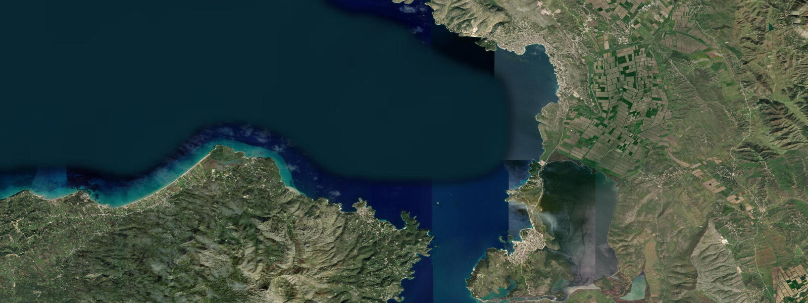
Butrint National Park lies immediately south of Ksamil, and Butrint itself — the ancient city and UNESCO World Heritage Site — is the nearest major site at roughly 5 km by road. Ksamil serves as the primary gateway village for visitors to Butrint; the road south from Ksamil runs along the eastern shore of Butrint Lake, and the park entrance is at the Vivari Channel where a cable ferry crosses to the site. Butrint Lake is partially visible from the higher ground above the village — a flat expanse of water southeast of the beach, separated from the sea by a narrow strip of land.
For families, the combination of the shallow, clear lagoon between the islets and the sandbar at low spring tide makes Ksamil one of the more compelling beach destinations in the region for children. The sandy bottom eliminates the stubbed-toe problem of pebble beaches; the visibility means kids can watch fish without masks; the sandbar crossing is an event that children remember. The caveats: the beach has become genuinely busy in July and August, water taxis to the islets run constantly and the engine noise is audible from the beach, and sunbeds now cover most of the sand in front of the main bars.
For snorkellers, the islet bases hold the best biodiversity. Date mussels (Lithophaga lithophaga) colonise the rock faces to about 3 m depth, their elongated shells boring into the limestone. Sea bream school in the Posidonia margins at 3-5 m. The channel between the second and third islets, being slightly narrower, sees more tidal current than the main lagoon — small fish aggregate here on the flood tide, making it the most productive snorkelling zone when the tide is rising.
For photographers, the low-tide sandbar crossing provides a rare composition in this part of the Mediterranean: a line of people wading through turquoise water toward a small wooded island, with Corfu on the horizon. The best light is morning (northeast-facing beach catches early sun) or the hour before sunset when the islets cast long shadows across the lagoon. The sandbar itself only appears in the right conditions — check the tide table and don't assume it will be there.
For anglers, the rocky bases of the islets and the drop-off zone along the outer edge of the islet chain hold sea bream, grouper, and wrasse. Shore casting from the beach is productive on the eastern end where the bottom transitions from sand to rock at around 50 m range. The flooding tide concentrates fish near the islet gaps as tidal current (weak but real) pushes small baitfish through the channels.
Tide data for Ksamil, Sarandë District comes from the Open-Meteo Marine API, a gridded model product. Timing accuracy is ±45 minutes, height accuracy ±0.3 m — usable for trip planning, not for navigation.
Tide questions about Ksamil, Sarandë District
Quick answers to the most common questions about tide times, range, and water access at Ksamil, Sarandë District.
When can you wade to the Ksamil islets at low tide?
The sandbar connecting the nearest islet to the mainland is only shallow enough to wade across during the lower of the two daily low waters on spring tide days — dates within 2-3 days of new or full moon. On those days, the predicted water level at Ksamil drops below 0.1 m above chart datum, and the sandbar sits at ankle depth for roughly 45-90 minutes. Check tideturtle.com for Ksamil: look for a lower-low reading at or below 0.1 m, and plan arrival at the beach 30 minutes before predicted low. At neap tides or on days where the lower low sits above 0.15 m, the sandbar remains submerged. Water taxis to the islets run regardless of tide if you want guaranteed access.
How close is Butrint National Park to Ksamil?
Butrint is roughly 5 km south of Ksamil by road. Ksamil is the nearest village to the park and serves as the main access point; the road runs south along the eastern shore of Butrint Lake before reaching the park entrance at the Vivari Channel. A cable ferry crosses the channel to the site. Butrint Lake is partially visible from elevated ground above Ksamil village. Most visitors to Butrint stay or eat in Ksamil, so combining a morning at the archaeological site with an afternoon at Ksamil beach is a standard day itinerary from Sarandë.
What is the water visibility like at Ksamil?
On calm days, horizontal visibility in the lagoon between the Ksamil islets reaches 20-25 m. The white sandy bottom at 2-4 m depth reflects light upward, which gives the turquoise colour visible in photographs and also makes the bottom legible at depth. Visibility degrades after sustained westerly or southerly wind, which raises sand from the bottom in the shallower zones. The Ionian's microtidal range doesn't drive significant sediment suspension — water clarity here is governed by sea state, not tidal stage. A calm morning after settled overnight weather gives the best conditions.
Is Ksamil suitable for snorkelling from shore?
Yes. The islets are 100-400 m from the main beach and reachable by swimming without a boat. The best snorkelling is at the rock bases of the second and third islets, where Posidonia seagrass meets limestone at 3-5 m. Date mussels colonise the rock faces; sea bream and wrasse are common at islet margins. The channel between the second and third islets sees slightly more tidal current and concentrates fish on the flood. Swim fins help significantly for the islet crossings in any chop. The channel water is open Ionian — deeper and cooler than the lagoon shallows — so a lycra suit or 1 mm vest is useful in June and October when water temperatures are at the seasonal extremes.
Can you see Corfu from Ksamil beach?
Yes, clearly on most days. Corfu sits roughly 20 km to the south-southwest across the Corfu Channel, and its central mountain ridge — reaching 906 m at Mount Pantokrator — is easily visible from the Ksamil beach on days with any reasonable visibility. The view is most distinct in morning light when atmospheric haze is minimal. The visual relationship between the Ksamil islets in the foreground, the turquoise water of the lagoon, and the Corfu mountains on the horizon is the composition that appears in most travel photography of the location. From Corfu itself, the Albanian coast is also visible and the presence of the Greek island from an Albanian beach underlines how narrow the channel is at this point.
8-day tide table — Ksamil, Sarandë District
Heights relative to MSL. Predictions: Open-Meteo Marine (MeteoFrance SMOC, 0.08° grid) — heights relative to MSL (not chart datum / LAT). Model-derived.
| Day | Type | Time | Height |
|---|---|---|---|
| Fri 19 Jun | Low | 02:00 | -0.6m |
| High | 07:00 | -0.5m | |
| Sat 20 Jun | — | ||
| Sun 21 Jun | — | ||
| Mon 22 Jun | Low | 03:00 | -0.7m |
| Tue 23 Jun | — | ||
| Wed 24 Jun | — | ||
| Thu 25 Jun | High | 01:00 | -0.5m |
| Low | 06:00 | -0.6m | |
| Fri 26 Jun | High | 01:00 | -0.5m |