Butrint, Sarandë District tide times
Butrint, Sarandë District tide forecast — heights relative to MSL.
Today's tide times for Butrint, Sarandë District
Tide times at Butrint, Sarandë District on Friday, 19 June 2026: first low tide at 02:00am, first high tide at 06:50pm. Sunrise 05:11am, sunset 08:10pm.
Tide chart for Butrint, Sarandë District
24-hour cosine-interpolated curve around the present moment. Heights relative to MSL. Predictions: Predictions: Open-Meteo Marine (MeteoFrance SMOC, 0.08° grid).
Sun, moon and conditions on Fri 19 Jun
Snapshot at build time — refreshes daily. Sea state from Open-Meteo Marine.
Highs and lows next 7 days
Every predicted high and low for the next week, with the daily tidal coefficient (0–120; higher = bigger swing, > 95 means stronger currents).
Other spots nearby
The three closest curated TideTurtle locations to Butrint, Sarandë District, measured by great-circle distance.
Today's solunar windows
Solunar tradition: major periods are the ≈3h windows around moon transit and opposition; minor are ≈2h around moonrise and moonset. Pair with the local tide stage and wind for the best read.
About tides at Butrint, Sarandë District
A short guide to the coastline at Butrint, Sarandë District — geography, sea state, and what the tide is actually doing under your feet.
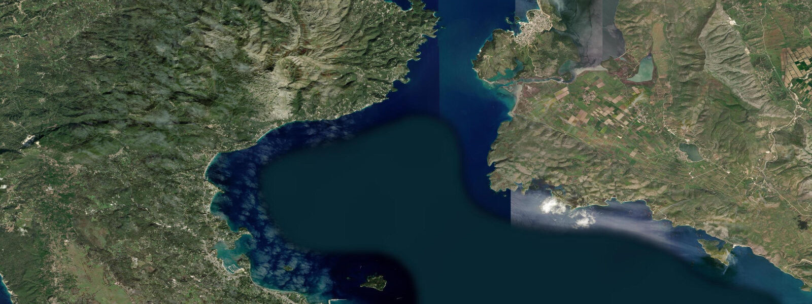
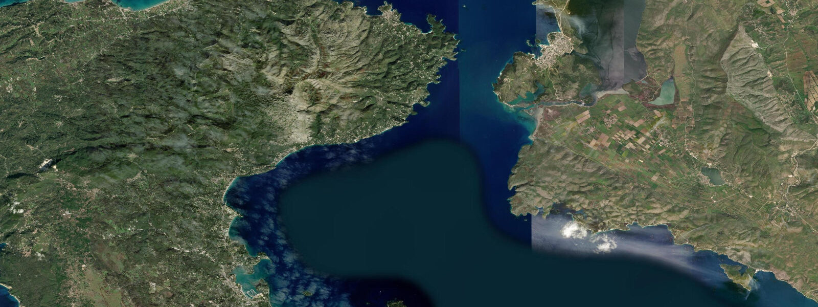
Butrint — ancient Buthrotum — is one of the most consequential archaeological sites in the eastern Mediterranean, a wooded peninsula where Greek, Roman, Byzantine, Venetian, and Ottoman layers are not merely adjacent but physically stacked: a Roman theatre built over Greek foundations, a Venetian tower incorporating Byzantine stonework, a baptistery floor whose mosaics were laid in the 6th century and remain in place. The site became a UNESCO World Heritage Site in 1992. What distinguishes Butrint from other comparable sites is the ecological context: the peninsula is surrounded by water on three sides, hemmed by Butrint Lake to the north and the Vivari Channel to the south and east, and that water is not decorative — it is a functioning tidal system.
The Vivari Channel is the connection between Butrint Lake and the Ionian Sea. The channel is roughly 50 m wide and several hundred metres long, running southwest from the lake to the sea near the village of Ksamil. Tidal exchange through this bottleneck drives the ecology of the entire lake. On the flood tide, Ionian seawater pushes through the channel into the lake, raising salinity in the lower water column. On the ebb, fresher water drains back toward the sea. The result is a brackish gradient maintained by the tidal cycle and reinforced by seasonal freshwater input from the Bistrica river, which enters the lake system from the north.
The tidal regime at Butrint is the standard Ionian microtidal pattern: mean range 0.2-0.4 m, mixed semi-diurnal. Two unequal high waters and two unequal low waters per day. That small range, pushed through the 50 m throat of the Vivari Channel, generates a tidal current of up to 1.5 knots on spring tides — perceptible to anyone crossing by the cable ferry, and significant to anything swimming through the channel. The cable ferry, which connects the mainland road to the archaeological peninsula, crosses this current continuously throughout the day. The cable keeps the ferry on line; passengers who've not expected the current sometimes brace against the railing when the flow is running hard on a spring ebb.
The eel fishery of Butrint Lake is the most ecologically distinctive consequence of this tidal connection. European eels (Anguilla anguilla) spend their juvenile and adult lives in brackish and freshwater systems before undertaking a transoceanic spawning migration to the Sargasso Sea. The Vivari Channel is one of the migratory corridors for eels moving between the lake and the open sea. Adult silver eels migrate outward through the channel on autumn nights, entering the Ionian and eventually reaching the Atlantic. Glass eels and elvers enter the lake from the sea in early spring, riding the flood current into the freshwater-brackish transition zone. This eel migration has supported a local fishery for centuries; traditional trap fishing in the channel dates to the Venetian period and records from that era document the channel's commercial importance.
Water level in Butrint Lake fluctuates with the tidal cycle by roughly 0.3-0.5 m when seasonal freshwater input from the Bistrica is low. In winter and early spring, river input can dominate the lake level and suppress tidal variation; in summer, the Bistrica flow drops and the lake level tracks the Ionian tide more clearly. The consequence for the archaeology is visible: the Lion Gate, the Roman theatre, and the baptistery all sit within 5 m of the lake's current edge. During higher lake-level periods in winter, the lower path between the Lion Gate and the theatre is sometimes flooded. The proximity of major Roman and Byzantine structures to a fluctuating water body is not incidental — the original settlement chose the peninsula precisely because the water-controlled access was defensible.
The Lion Gate itself — a basalt lintel carved with two heraldic lions above the entrance passage — dates to the 4th century BCE and marks the entrance to the ancient city from the lake shore side. The Roman theatre behind it is one of the best-preserved in the Balkans: tiered seating for roughly 1,500, orchestra circle intact, stage building partially reconstructed. The baptistery, built in the 5th-6th century CE over the ruins of a Roman public building, has a floor mosaic 14 m in diameter — geometric and animal motifs — that is covered with sand outside peak visiting hours to protect it from foot traffic and weather. All three monuments can be reached on foot from the cable ferry landing in under 10 minutes.
For photographers, the view from the Venetian tower over the lake and channel captures the geographical logic of Butrint in a single frame: the wooded peninsula, the dark water of the lake, the narrow channel opening to a lighter Ionian horizon, and — in the right light — the silhouette of Ksamil's islets beyond. The best light is early morning, when the site opens and tour groups from Sarandë and Ksamil have not yet arrived. The cable ferry begins operating at 08:00.
For kayakers and paddlers, the Vivari Channel presents an unusual opportunity: a tidal channel with measurable current in an otherwise microtidal sea. Paddling the channel on a flood tide with the current behind you from the sea side takes about 15 minutes and requires coordinating with ferry crossings. The lake beyond is calm and largely unexplored by kayak; circumnavigating the Butrint peninsula by water is possible but requires launching from outside the park boundary.
Tide data for Butrint, Sarandë District comes from the Open-Meteo Marine API, a gridded model product. Timing accuracy is ±45 minutes, height accuracy ±0.3 m — usable for trip planning, not for navigation.
Tide questions about Butrint, Sarandë District
Quick answers to the most common questions about tide times, range, and water access at Butrint, Sarandë District.
How does the tidal current in the Vivari Channel affect visiting Butrint?
The Vivari Channel connects Butrint Lake to the Ionian Sea and is roughly 50 m wide. Tidal current through this bottleneck reaches 1.5 knots on spring tides — fast enough to be noticeable on the cable ferry crossing and relevant for any swimmer or paddler attempting the channel. The ferry itself is cable-guided and unaffected operationally, but the current pulls hard against the hull on spring ebbs and is visible as a defined surface flow. For visitors, the current is a background feature; it only becomes a safety concern if someone attempts to swim the channel independently, which is inadvisable on spring tides. The cable ferry runs continuously from 08:00 and is the standard crossing method.
What is the eel fishery at Butrint and why does it matter?
European eels (Anguilla anguilla) use the Vivari Channel as a migration corridor between Butrint Lake and the Ionian Sea, and onward to their spawning grounds in the Sargasso Sea. Juvenile eels enter the lake from the sea in early spring; adult silver eels migrate outward in autumn, typically on dark nights near spring tide when tidal current aids their passage. This has supported a traditional trap fishery in the channel for centuries — Venetian-era records document it as a commercially significant resource. The eel population has declined across Europe due to habitat loss and barriers to migration; Butrint's tidal channel is one of the relatively undisturbed migration corridors remaining in the Adriatic-Ionian region, which gives it conservation significance beyond its archaeological value.
How close are the major archaeological monuments to the water at Butrint?
The Lion Gate, Roman theatre, and baptistery all sit within 5 m of Butrint Lake's current edge. The proximity is not accidental — the original settlement used water-surrounded terrain for defensibility. In winter and early spring, when the Bistrica river raises lake levels, the path between the Lion Gate and the theatre is occasionally flooded, and the lower lake-margin path becomes impassable. Summer visitors typically encounter the dry-season lake level, which sits 0.3-0.5 m lower than winter maximum. The water-edge archaeology makes Butrint unusual: the monuments are not in a dry inland site but in active dialogue with a tidal-brackish lake.
What are the best monuments to see at Butrint and how long does a visit take?
From the cable ferry landing, the circuit takes 2-3 hours at a comfortable pace. The Lion Gate (4th century BCE, basalt lintel with carved lions) is 5 minutes from the ferry. The Roman theatre sits directly behind it — tiered seating for roughly 1,500, orchestra circle intact. The baptistery mosaic floor is 14 m in diameter and covered with protective sand outside peak season; ask the site staff to uncover a section. The Venetian tower at the circuit's high point gives the best view over the lake and channel. The full circuit then returns through Byzantine wall sections and Venetian gate towers. Arrive before 09:30 to get ahead of the Sarandë day-trip groups, which typically reach the ferry by 10:00-10:30.
Does the lake level at Butrint change with the tides?
Yes, measurably. In summer when the Bistrica river input is low, Butrint Lake level tracks the Ionian tide through the Vivari Channel, fluctuating roughly 0.3-0.5 m across the tidal cycle. In winter and spring, river input dominates and can raise the lake level well above its summer mean, suppressing the tidal signal. The tidal influence is visible as a slow current in the Vivari Channel — in on the flood, out on the ebb — and as the gentle rise and fall of the lake surface against the stone foundations of the monuments at the water's edge. The Ionian tidal range is only 0.2-0.4 m at the sea entrance, but the channel constrains and shapes the flow so the lake responds across the full range with some lag.
7-day tide table — Butrint, Sarandë District
Heights relative to MSL. Predictions: Open-Meteo Marine (MeteoFrance SMOC, 0.08° grid) — heights relative to MSL (not chart datum / LAT). Model-derived.
| Day | Type | Time | Height |
|---|---|---|---|
| Fri 19 Jun | Low | 02:00 | -0.6m |
| High | 18:50 | -0.5m | |
| Sat 20 Jun | — | ||
| Sun 21 Jun | — | ||
| Mon 22 Jun | Low | 03:00 | -0.7m |
| Tue 23 Jun | — | ||
| Wed 24 Jun | High | 12:10 | -0.5m |
| Low | 19:00 | -0.6m | |
| Thu 25 Jun | High | 13:00 | -0.5m |