Kavajë Coast tide times
Kavajë Coast tide forecast — heights relative to MSL.
Today's tide times for Kavajë Coast
Tide times at Kavajë Coast on Sunday, 21 June 2026: first low tide at 02:50am, first high tide at 10:00am, second low tide at 03:00pm. Sunrise 05:08am, sunset 08:17pm.
Tide chart for Kavajë Coast
24-hour cosine-interpolated curve around the present moment. Heights relative to MSL. Predictions: Predictions: Open-Meteo Marine (MeteoFrance SMOC, 0.08° grid).
Sun, moon and conditions on Sun 21 Jun
Snapshot at build time — refreshes daily. Sea state from Open-Meteo Marine.
Highs and lows next 7 days
Every predicted high and low for the next week, with the daily tidal coefficient (0–120; higher = bigger swing, > 95 means stronger currents).
Other spots nearby
The three closest curated TideTurtle locations to Kavajë Coast, measured by great-circle distance.
Today's solunar windows
Solunar tradition: major periods are the ≈3h windows around moon transit and opposition; minor are ≈2h around moonrise and moonset. Pair with the local tide stage and wind for the best read.
About tides at Kavajë Coast
A short guide to the coastline at Kavajë Coast — geography, sea state, and what the tide is actually doing under your feet.
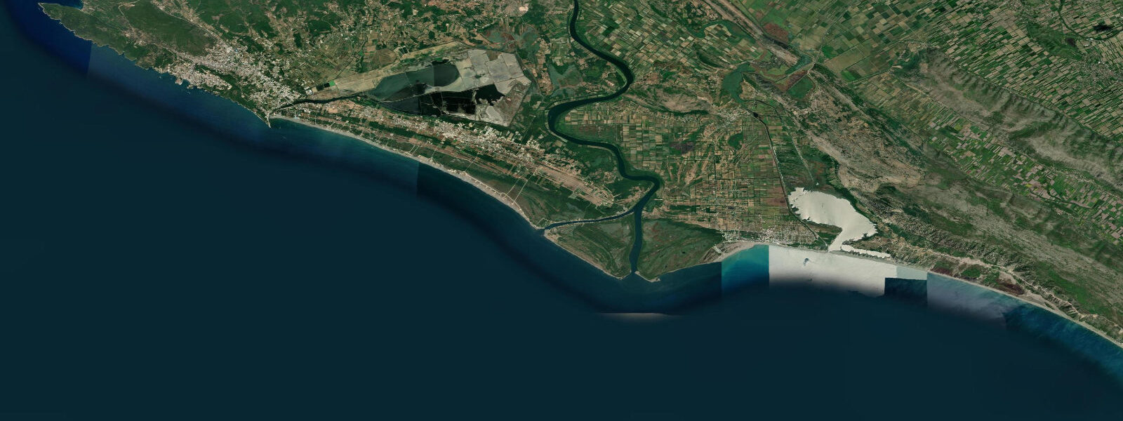
The Kavajë coastline occupies the southern arc of Durrës County, from the resort stretch south of Golem to the Shkumbini River delta — the historical boundary between northern and southern Albanian cultural zones. This stretch of coast has a different character from the Durrës and Golem beach strips. The immediate hinterland is agricultural: the flat coastal plain of the Shkumbini floodplain extends 15 to 20 km inland, and the fields of market vegetables, grain, and orchards run almost to the beach margin in the sections between the small coastal settlements. The Shkumbini River itself — the ancient boundary between the Gheg-speaking north and the Tosk-speaking south — enters the Adriatic at the southern end of this coast, building a small delta with low sandy bars and reed-fringed channels behind the beach. Wetland channels behind the beach ridge hold carp, eel, and pike; the transition from saltwater beach to freshwater wetland happens over a few hundred metres. The tidal regime is identical to the Durrës coast: Adriatic semidiurnal, spring range approximately 0.5 m. On the gently shelving beach here, that range produces an intertidal zone 20 to 30 m wide, and the falling tide exposes tidal flat sections particularly at the Shkumbini delta approach where the gradient is even shallower. The beach between Golem and the Shkumbini mouth is continuous and sandy, and while development has reached the northern sections of this stretch, the central and southern sections remain relatively rural. The coastal footprint of communist-era bunker construction (authorised by Enver Hoxha from the 1960s; an estimated 170,000 bunkers were built across Albania by 1985) is visible on this coast. Concrete igloo-shaped bunker structures — typically 1.5 to 2 m in diameter, constructed in groups of three to five and positioned at intervals along the shoreline — sit partially buried in the dune crest and upper beach at several points. Some have been eroded or collapsed; others remain largely intact. The coastal zone of Albania has more surviving bunker concentrations per kilometre than most inland zones because the maritime approaches were treated as a primary invasion vector by the Hoxha regime. The bunkers have become an involuntary part of the Albanian coastal landscape — some have been repurposed (converted to beach bars or storage), others remain derelict. Shore fishing along the Kavajë coast targets sea bass, sea bream, and mullet at the beach margins; the Shkumbini delta outflow concentrates flatfish (sole, turbot) in the nearshore zone at the river mouth plume edge, particularly in autumn when the river flow increases after summer drought. The wetland channels behind the beach support a small artisanal fishery for carp and eel from local villages. The access road running along the coast from Kavajë town (4 km inland) to the beach is paved; the sections near the Shkumbini delta are rougher and less maintained. Tide predictions at Kavajë Coast come from Open-Meteo Marine, a gridded global ocean model; accuracy is typically ±45 min on timing and ±0.2–0.3 m on height. IMET (Albania) is the national forecast authority.
The coastal zone between Kavajë and the Shkumbini delta is one of the quieter stretches of the Albanian Adriatic and one of the least documented from a tourism perspective. Albanian domestic visitors are the majority in summer; international visitor numbers are much lower here than at Durrës or the Southern Albanian Riviera (Himara, Sarandë, Ksamil). The beach itself requires no reservation, no entrance fee, and no booking. The tradeoff for that simplicity is the near-absence of services: a few seasonal kiosks operate near the main beach access points in July and August, but water, food, and equipment are the visitor's responsibility. The combination of low visitor pressure, wide intertidal zone at spring low, and the ecological interest of the Shkumbini delta mouth makes this stretch of coast more interesting than its lack of profile suggests. Access from Kavajë town is straightforward; the 4 km coastal access road leaves the SH3 highway at a signed junction.
Tide questions about Kavajë Coast
Quick answers to the most common questions about tide times, range, and water access at Kavajë Coast.
What are the Communist-era bunkers on the Albanian coast?
The concrete bunker structures visible along the Kavajë coast and elsewhere on the Albanian shoreline are a product of the Hoxha regime's defensive programme running from the mid-1960s to 1985. Enver Hoxha, Albania's communist leader from 1944 to 1985, ordered the construction of approximately 170,000 bunkers across the country — one for roughly every four Albanians at the time — designed to shelter the population against an anticipated invasion. The mushroom-shaped concrete igloo design (QZ type) was standardised across the programme; each unit could shelter two to four people. The coastal sections were treated as a high-priority defensive zone. The bunkers were never used in combat and were decommissioned after the communist system collapsed in 1991. Their concrete construction has made them difficult to remove; some have been repurposed creatively, others remain where they were built.
What is the tidal range at the Kavajë coast and does it affect the delta beach?
The spring tidal range at the Kavajë coast is approximately 0.5 m — Adriatic semidiurnal microtidal. At the Shkumbini River delta beach, where the gradient is even shallower than the main beach sections, the spring low water exposes tidal flat extending 30 to 40 m beyond the normal high-water line. This is one of the wider intertidal zones accessible from the Albanian central coast. The river outflow interacts with the tidal phase: on the ebb, the combination of river flow and falling tide produces the strongest seaward current at the delta mouth; on the flood, the tidal push works against the river and creates a brackish mixing zone that shifts position with the tidal phase. Flatfish and bass concentrate at the edge of this mixing zone, which makes the flood-to-ebb transition the most productive fishing period at the delta. Tide predictions come from Open-Meteo Marine; accuracy ±45 min timing, ±0.2–0.3 m height.
What fishing is available at the Kavajë coast?
The Kavajë coast offers two distinct fishing environments within walking distance of each other. The open beach and the tidal zone at the Shkumbini delta mouth are the primary sea-fishing positions: sea bass, sole, flounder, and grey mullet work the shallows and the river plume edge. The flood-to-ebb transition produces the strongest current and fish concentration at the delta bars. Inland, the wetland channels and the lower Shkumbini River hold carp, eel, and zander accessible by local artisanal methods. No commercial fishing charter operates from this stretch; shore casting is the primary mode. The incoming tide is the traditional fishing window on the open beach; autumn (September–November) is the best season for beach bass as the fish move into the shallows with cooling water. The angler tradition that rates fishing by moon transit periods (solunar tradition) scores the day in the tide table header on this page — shown as the angler tradition, not a scientific forecast.
What is the Shkumbini River and why is it historically significant?
The Shkumbini River (Shkumbin in Albanian) runs 181 km from the Macedonian highlands to the Adriatic at the southern end of Durrës County. Since at least the early medieval period, the river's valley has been recognised as the cultural and linguistic dividing line between the Gheg-speaking Albanian communities to the north and the Tosk-speaking communities to the south. The two dialects are mutually intelligible but acoustically distinct; standard modern Albanian (based on Tosk) was codified during the communist period. The river also marks the rough southern boundary of the Roman province of Dalmatia in some historical sources. At the coast, the Shkumbini delta is a low-energy depositional environment: the river carries sand and silt from the upland catchment and deposits it in the shallow nearshore zone, building a delta that shifts slightly with each flood cycle. The agricultural land behind the coast is some of the flattest and most productive in Albania.
Is the Kavajë coast accessible for a day trip from Tirana?
Yes. Kavajë town is 50 km south of Tirana via the SH3 highway, approximately 45 minutes by car in light traffic. The coastal access road from Kavajë town to the beach section adds another 15 to 20 minutes. The drive from Tirana to the Kavajë coast beach is therefore 1 to 1.5 hours depending on traffic and the exact beach access point. This is manageable as a day trip, though the Saturday and Sunday peak in July–August adds 30 to 60 minutes to the Tirana–Kavajë section due to congestion. The beach itself has seasonal access to food and water from small local stalls near the main turnoffs in summer; no large resort services. The Durrës beach strip (better facilities, shorter drive from Tirana) is the alternative if services are a priority. The Kavajë coast is the better option if quieter, less-developed beach character matters more.
8-day tide table — Kavajë Coast
Heights relative to MSL. Predictions: Open-Meteo Marine (MeteoFrance SMOC, 0.08° grid) — heights relative to MSL (not chart datum / LAT). Model-derived.
| Day | Type | Time | Height |
|---|---|---|---|
| Sun 21 Jun | Low | 02:50 | -0.7m |
| High | 10:00 | -0.6m | |
| Low | 15:00 | -0.6m | |
| Mon 22 Jun | — | ||
| Tue 23 Jun | High | 12:10 | -0.4m |
| Low | 19:00 | -0.6m | |
| Wed 24 Jun | High | 13:00 | -0.4m |
| Low | 20:00 | -0.6m | |
| Thu 25 Jun | High | 01:00 | -0.6m |
| Low | 06:10 | -0.6m | |
| Fri 26 Jun | High | 14:10 | -0.4m |
| Sat 27 Jun | Low | 08:00 | -0.6m |
| High | 14:45 | -0.3m | |
| Low | 21:50 | -0.6m | |
| Sun 28 Jun | High | 01:00 | -0.5m |